 Aerial imagery: USGS National Map (public domain)
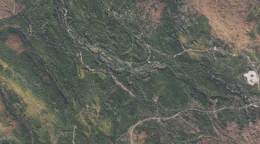
South Branch Horne Brook — Streams 16.7 Miles WNW of Chapman Inn
Coos County, New Hampshire · USGS Shelburne Quadrangle · GNIS 872695
Catalogued on the USGS Shelburne quadrangle in Coos County, New Hampshire, South Branch Horne Brook — a stream — lies 16.7 miles west-northwest of Chapman Inn.
Wikidata short description: “stream in Coös County, New Hampshire, United States of America”
Landmark Profile
Classification & USGS reference
Catalogued under GNIS Feature ID 872695, South Branch Horne Brook is recorded as a stream on the USGS Shelburne quadrangle in Coos County, New Hampshire (FIPS 33/007). Catalogued in GNIS since 08/27/1980.
Coordinates & physical setting
South Branch Horne Brook sits at 44.48617° N, 71.10785° W (DMS 44°29′10″ N, 71°06′28″ W).
As a linear feature its source lies near 44.45083° N, 71.09167° W (DMS 44°27′03″ N, 71°05′30″ W) — useful for anglers and paddlers tracing the upstream end.
Other streams in Coos County, New Hampshire
Coos County, NH contains 300 streams catalogued in the USGS Geographic Names Information System, counting South Branch Horne Brook itself. The ones closest to South Branch Horne Brook:
| Feature | USGS Quadrangle | Distance |
|---|---|---|
| North Branch Horne Brook | Shelburne | 0 mi |
| Red Brook | Shelburne | 1.1 mi |
| Larry Flume | Shelburne | 1.8 mi |
| Bean Brook | Berlin | 2.8 mi |
| Alder Brook | Success Pond | 3 mi |
| Horne Brook | Milan | 3.2 mi |
| North Branch Stearns Brook | Success Pond | 3.2 mi |
| South Branch Stearns Brook | Success Pond | 3.2 mi |
| Dryad Brook | Shelburne | 3.9 mi |
| Dead River | Berlin | 3.9 mi |
Features on the USGS Shelburne Quadrangle
The Shelburne 7.5-minute topographic quadrangle holds 47 catalogued natural features alongside South Branch Horne Brook. A sampling nearest to this location:
| Feature | Type | County | Offset |
|---|---|---|---|
| North Branch Horne Brook | Streams | Coos County, NH | 0 mi |
| Keene Reservoir | Reservoirs | Coos County, NH | 0.3 mi |
| Red Brook | Streams | Coos County, NH | 1.1 mi |
| Larry Flume | Streams | Coos County, NH | 1.8 mi |
| North Bald Cap | Summits | Coos County, NH | 2.2 mi |
| Bald Cap | Summits | Coos County, NH | 2.5 mi |
| Upper Gentian Pond | Lakes | Coos County, NH | 2.7 mi |
| The Outlook | Summits | Coos County, NH | 2.7 mi |
| Gentian Pond | Lakes | Coos County, NH | 2.9 mi |
| Wocket Ledge | Summits | Coos County, NH | 3 mi |
Visiting from Chapman Inn
Distance, bearing & drive time
A 29-minute drive along back roads separates the front door of Chapman Inn from South Branch Horne Brook — 16.7 miles west-northwest as the crow flies, on compass bearing WNW.
Best time to visit
Best observed in late spring and early summer when flow is strong and banks are visible. Being this far north (lat 44.486°), first snows typically arrive by mid-October and linger into early May — narrow the window accordingly. At 16.7 miles from the Inn, plan on a comfortable day trip with time for lunch on the road. Conditions at South Branch Horne Brook track the nearby North Branch Horne Brook stream (essentially adjacent) closely — if that is runnable, so is this.
Nearest features to South Branch Horne Brook
| Feature | Type | County | Distance |
|---|---|---|---|
| North Branch Horne Brook | Streams | Coos County, NH | 0 mi |
| Keene Reservoir | Reservoirs | Coos County, NH | 0.3 mi |
| Red Brook | Streams | Coos County, NH | 1.1 mi |
| Anderson Reservoir | Reservoirs | Coos County, NH | 1.6 mi |
| Larry Flume | Streams | Coos County, NH | 1.8 mi |
Frequently Asked Questions
Where is South Branch Horne Brook located?
South Branch Horne Brook is in Coos County, New Hampshire, approximately 16.7 miles west-northwest of Chapman Inn in Bethel, Maine. It appears on the USGS Shelburne topographic quadrangle.
How far is South Branch Horne Brook from Chapman Inn?
The drive runs about 29 minutes, 16.7 miles west-northwest (bearing WNW) of the Inn.
What type of natural feature is South Branch Horne Brook?
The U.S. Geological Survey classifies South Branch Horne Brook as a stream, catalogued under GNIS Feature ID 872695 on the Shelburne quadrangle.
When is the best time to visit South Branch Horne Brook?
Best observed in late spring and early summer when flow is strong and banks are visible.
How many other streams are in Coos County, New Hampshire?
GNIS lists 299 other streams in Coos County, New Hampshire.
Wikidata: Q35308564.