Stony Brook is a stream in Coos County, New Hampshire, located about 19.2 miles west of Chapman Inn in Bethel, Maine. It appears on the USGS Carter Dome…
Point Lookout is a summit in Coos County, New Hampshire, located about 18.7 miles west of Chapman Inn in Bethel, Maine. It appears on the USGS Berlin topographic…
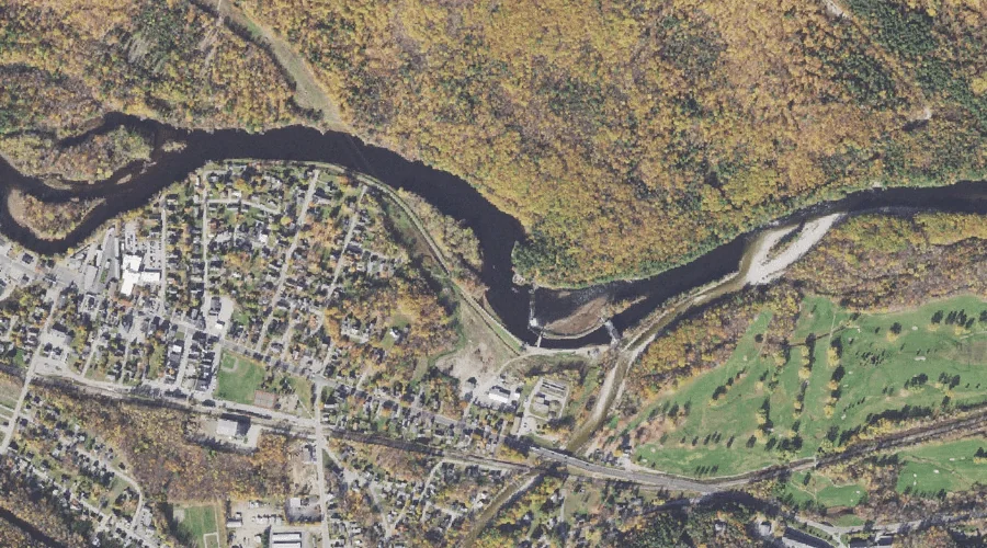
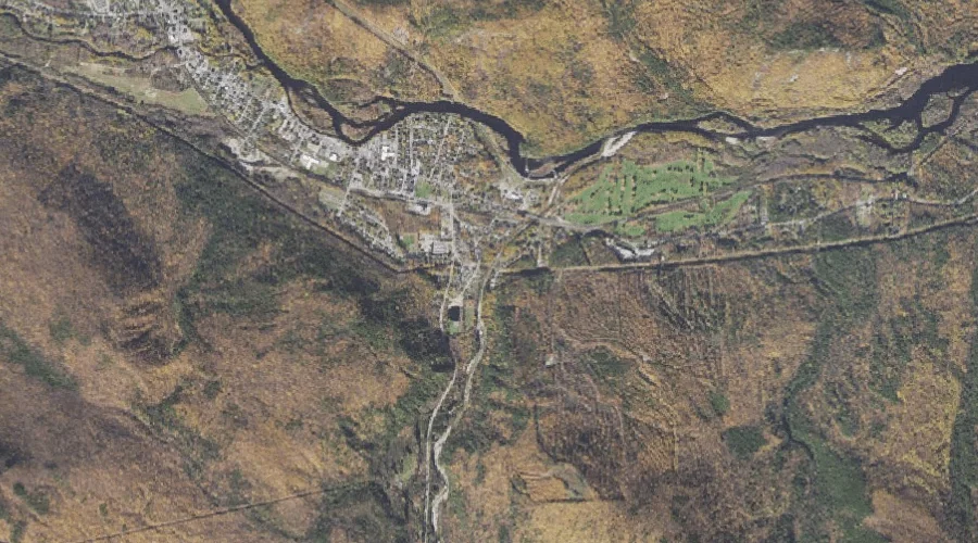
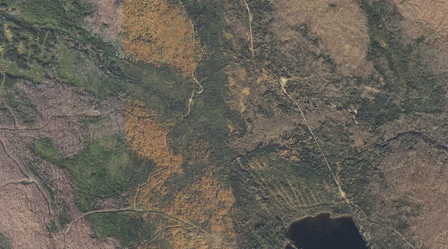
Androscoggin River Reservoir is a reservoir in Coos County, New Hampshire, located about 18.7 miles west of Chapman Inn in Bethel, Maine. It appears on the USGS Berlin…
Imp Mountain is a summit in Coos County, New Hampshire, located about 18.8 miles west-southwest of Chapman Inn in Bethel, Maine. It appears on the USGS Carter Dome…
Mount Washington Valley is a valley in Coos County, New Hampshire, located about 18.9 miles west of Chapman Inn in Bethel, Maine. It appears on the USGS Berlin…
Mount Carberry is a summit in Coos County, New Hampshire, located about 19.0 miles west-northwest of Chapman Inn in Bethel, Maine. It appears on the USGS Berlin topographic…
Red Brook is a stream in Coos County, New Hampshire, located about 19.0 miles west-southwest of Chapman Inn in Bethel, Maine. It appears on the USGS Wild River…
North Baldface is a summit in Coos County, New Hampshire, located about 18.5 miles southwest of Chapman Inn in Bethel, Maine. It appears on the USGS Chatham topographic…
Mount Surprise is a summit in Coos County, New Hampshire, located about 18.2 miles west of Chapman Inn in Bethel, Maine. It appears on the USGS Carter Dome…
Blackstrap Brook is a stream in Coos County, New Hampshire, located about 18.2 miles northwest of Chapman Inn in Bethel, Maine. It appears on the USGS Success Pond…