Cascade Alpine Brook is a stream in Coos County, New Hampshire, located about 19.8 miles west of Chapman Inn in Bethel, Maine. It appears on the USGS Berlin…
Cascade Mill Lagoons is a reservoir in Coos County, New Hampshire, located about 19.9 miles west of Chapman Inn in Bethel, Maine. It appears on the USGS Berlin…
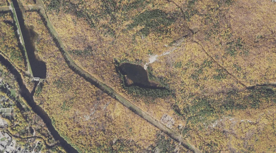
Mascot Pond is a lake in Coos County, New Hampshire, located about 19.3 miles west of Chapman Inn in Bethel, Maine. It appears on the USGS Berlin topographic…
Buck Island is a island in Coos County, New Hampshire, located about 19.4 miles west of Chapman Inn in Bethel, Maine. It appears on the USGS Berlin topographic…
Bean Brook is a stream in Coos County, New Hampshire, located about 19.4 miles west-northwest of Chapman Inn in Bethel, Maine. It appears on the USGS Berlin topographic…
Androscoggin River Reservoir is a reservoir in Coos County, New Hampshire, located about 19.5 miles west-northwest of Chapman Inn in Bethel, Maine. It appears on the USGS Berlin…
J Brodie Smith Reservoir is a reservoir in Coos County, New Hampshire, located about 19.5 miles west-northwest of Chapman Inn in Bethel, Maine. It appears on the USGS…
Leadmine Ledge is a summit in Coos County, New Hampshire, located about 19.1 miles west of Chapman Inn in Bethel, Maine. It appears on the USGS Berlin topographic…
Androscoggin River Reservoir is a reservoir in Coos County, New Hampshire, located about 19.1 miles west-northwest of Chapman Inn in Bethel, Maine. It appears on the USGS Berlin…
Cascade Brook Reservoir is a reservoir in Coos County, New Hampshire, located about 19.2 miles west of Chapman Inn in Bethel, Maine. It appears on the USGS Berlin…