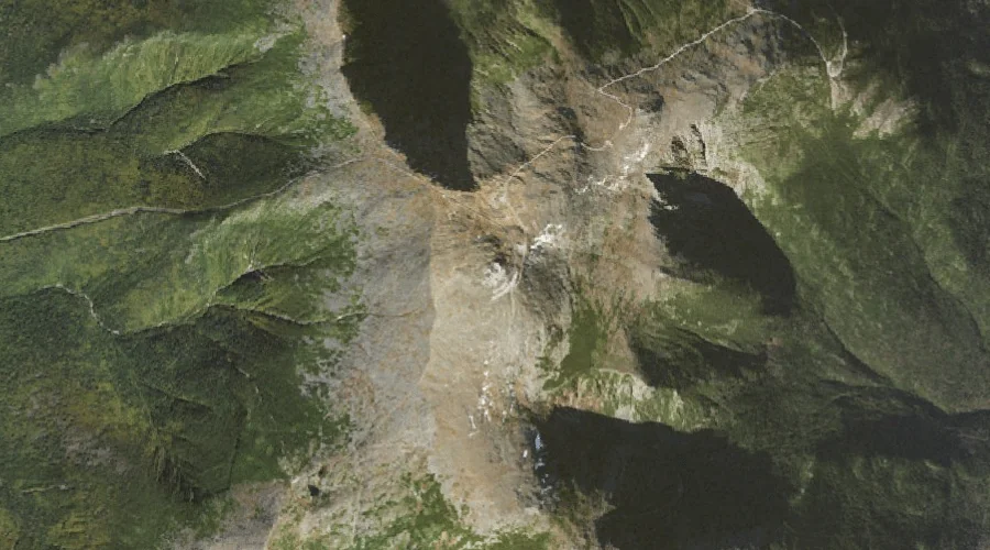
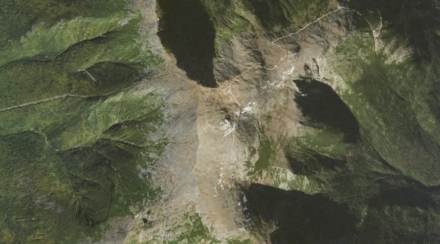
Presidential Range is a mountain range in Coos County, New Hampshire, located about 27.1 miles west-southwest of Chapman Inn in Bethel, Maine. It appears on the USGS Mount…
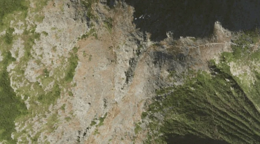
Boott Spur is a summit in Coos County, New Hampshire, located about 27.1 miles west-southwest of Chapman Inn in Bethel, Maine. It appears on the USGS Mount Washington…
Tyler Point is a cape in Coos County, New Hampshire, located about 27.1 miles north-northwest of Chapman Inn in Bethel, Maine. It appears on the USGS Umbagog Lake…
White Mountains is a mountain range in Coos County, New Hampshire, located about 27.1 miles west-southwest of Chapman Inn in Bethel, Maine. It appears on the USGS Mount…
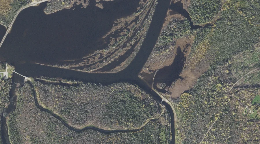
Pontook Reservoir is a reservoir in Coos County, New Hampshire, located about 27.1 miles northwest of Chapman Inn in Bethel, Maine. It appears on the USGS Teakettle Ridge…
Horn Hill is a summit in Coos County, New Hampshire, located about 27.1 miles west-northwest of Chapman Inn in Bethel, Maine. It appears on the USGS West Milan…
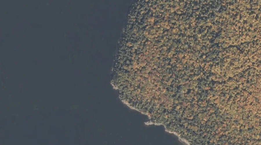
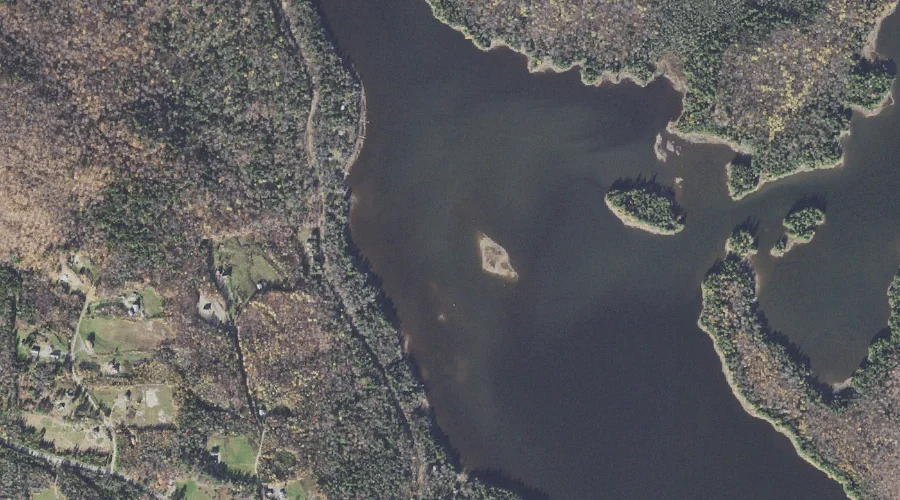
Thurston Cove is a bay in Coos County, New Hampshire, located about 27.1 miles north-northwest of Chapman Inn in Bethel, Maine. It appears on the USGS Umbagog Lake…
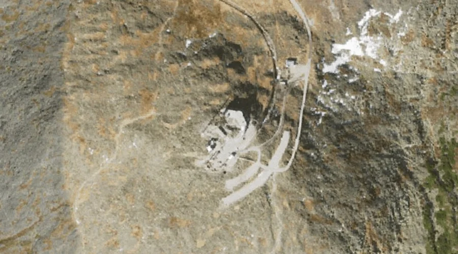
Mount Washington is a summit in Coos County, New Hampshire, located about 27.1 miles west-southwest of Chapman Inn in Bethel, Maine. It appears on the USGS Mount Washington…
Holt Hill is a summit in Coos County, New Hampshire, located about 26.9 miles northwest of Chapman Inn in Bethel, Maine. It appears on the USGS Teakettle Ridge…
Stony Brook is a stream in Coos County, New Hampshire, located about 26.9 miles west of Chapman Inn in Bethel, Maine. It appears on the USGS Mount Crescent…