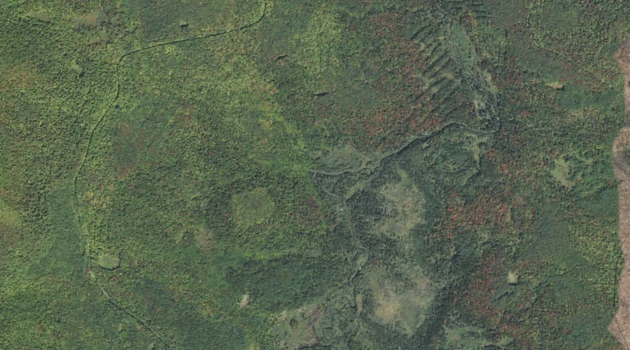
Castle Brook is a stream in Coos County, New Hampshire, located about 27.3 miles west of Chapman Inn in Bethel, Maine. It appears on the USGS Mount Washington…
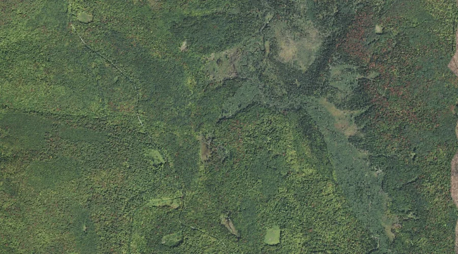
Refuge Brook is a stream in Coos County, New Hampshire, located about 27.2 miles west of Chapman Inn in Bethel, Maine. It appears on the USGS Mount Crescent…
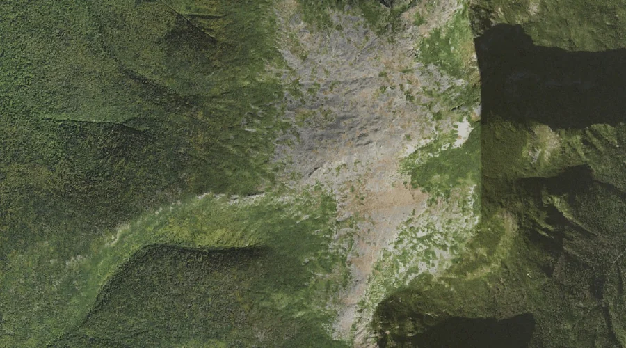
Rocky Branch Ridge is a ridge in Coos County, New Hampshire, located about 27.2 miles west-southwest of Chapman Inn in Bethel, Maine. It appears on the USGS Stairs…
Gulf Peak is a summit in Coos County, New Hampshire, located about 27.2 miles west-southwest of Chapman Inn in Bethel, Maine. It appears on the USGS Stairs Mountain…
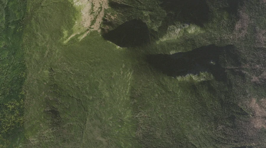
Ravine of the Cascades is a valley in Coos County, New Hampshire, located about 27.2 miles west of Chapman Inn in Bethel, Maine. It appears on the USGS…
Ravine of the Castles is a valley in Coos County, New Hampshire, located about 27.2 miles west of Chapman Inn in Bethel, Maine. It appears on the USGS…
Ridge of the Caps is a ridge in Coos County, New Hampshire, located about 27.2 miles west-southwest of Chapman Inn in Bethel, Maine. It appears on the USGS…
Cascade Brook is a stream in Coos County, New Hampshire, located about 27.3 miles west of Chapman Inn in Bethel, Maine. It appears on the USGS Mount Washington…
Keenan Brook is a stream in Coos County, New Hampshire, located about 27.1 miles west of Chapman Inn in Bethel, Maine. It appears on the USGS Mount Crescent…