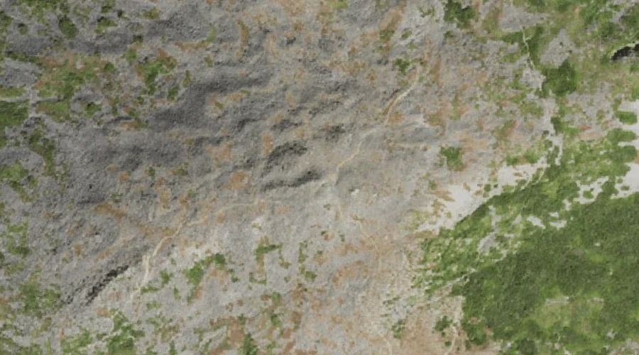
Mount Jefferson is a summit in Coos County, New Hampshire, located about 27.0 miles west-southwest of Chapman Inn in Bethel, Maine. It appears on the USGS Mount Washington…
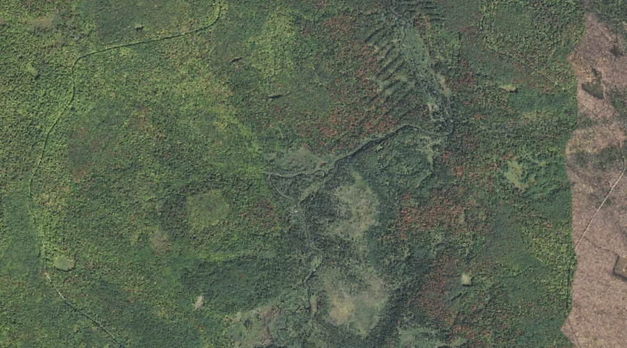
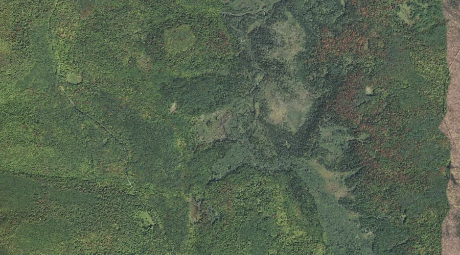
Brandy Brook is a stream in Coos County, New Hampshire, located about 27.0 miles west of Chapman Inn in Bethel, Maine. It appears on the USGS Mount Crescent…
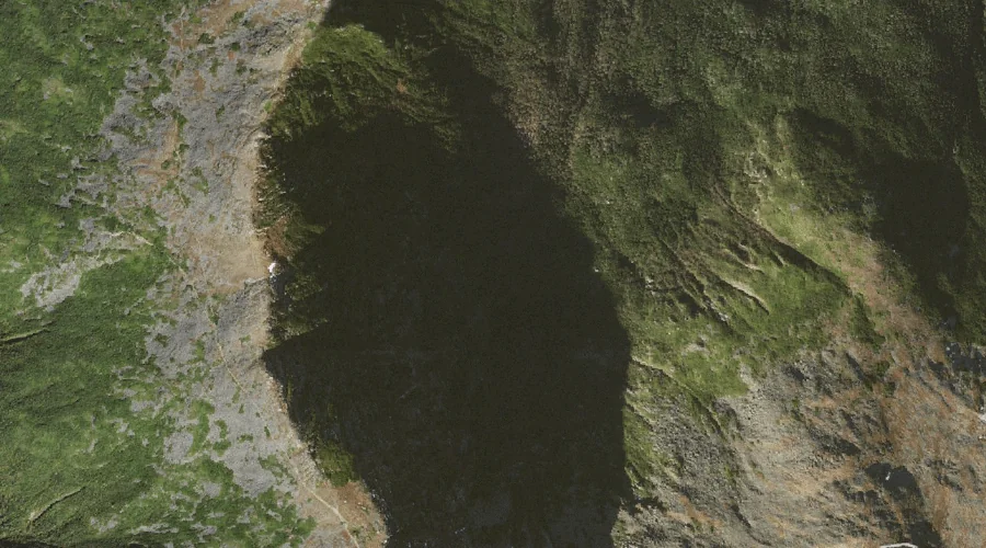
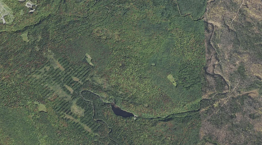
Spaulding Lake is a lake in Coos County, New Hampshire, located about 27.0 miles west-southwest of Chapman Inn in Bethel, Maine. It appears on the USGS Mount Washington…
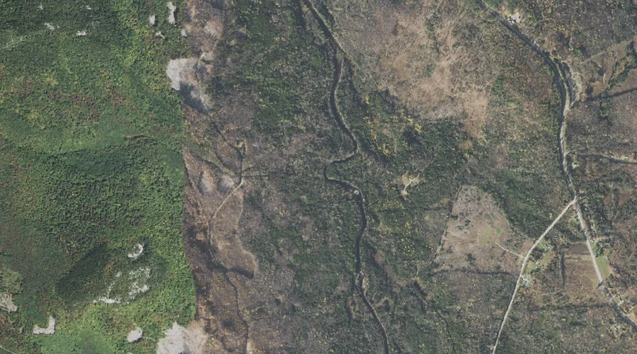
Spruce Brook is a stream in Coos County, New Hampshire, located about 27.1 miles west of Chapman Inn in Bethel, Maine. It appears on the USGS Mount Crescent…
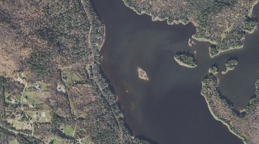
Thurston Cove is a bay in Coos County, New Hampshire, located about 27.1 miles north-northwest of Chapman Inn in Bethel, Maine. It appears on the USGS Umbagog Lake…
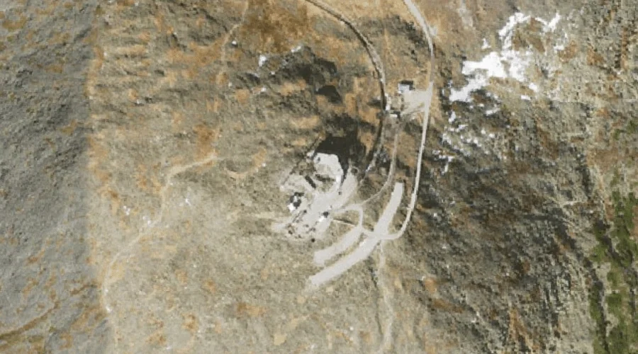
Mount Washington is a summit in Coos County, New Hampshire, located about 27.1 miles west-southwest of Chapman Inn in Bethel, Maine. It appears on the USGS Mount Washington…
Fifield Brook is a stream in Coos County, New Hampshire, located about 26.8 miles west-northwest of Chapman Inn in Bethel, Maine. It appears on the USGS West Milan…
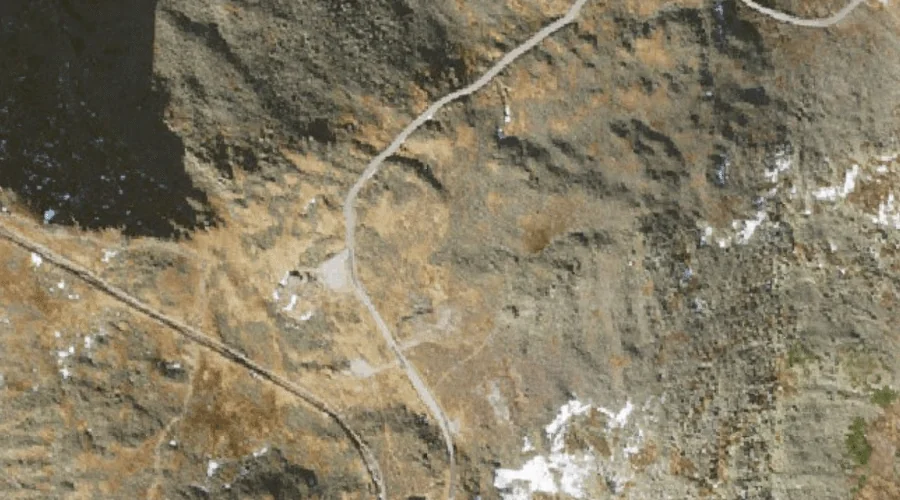
Gulf of Slides is a valley in Coos County, New Hampshire, located about 26.8 miles west-southwest of Chapman Inn in Bethel, Maine. It appears on the USGS Stairs…
Ball Crag is a rock pillar in Coos County, New Hampshire, located about 26.9 miles west-southwest of Chapman Inn in Bethel, Maine. It appears on the USGS Mount…
Lonesome Ridge is a ridge in Coos County, New Hampshire, located about 26.9 miles west-northwest of Chapman Inn in Bethel, Maine. It appears on the USGS Mount Crescent…