The Bulge is a summit in Coos County, New Hampshire, located about 31.5 miles west-northwest of Chapman Inn in Bethel, Maine. It appears on the USGS Stark topographic…
Hardwood Ridge is a ridge in Coos County, New Hampshire, located about 31.5 miles west of Chapman Inn in Bethel, Maine. It appears on the USGS Mount Dartmouth…
The Horn is a summit in Coos County, New Hampshire, located about 31.1 miles west-northwest of Chapman Inn in Bethel, Maine. It rises to 3,904 feet above sea…
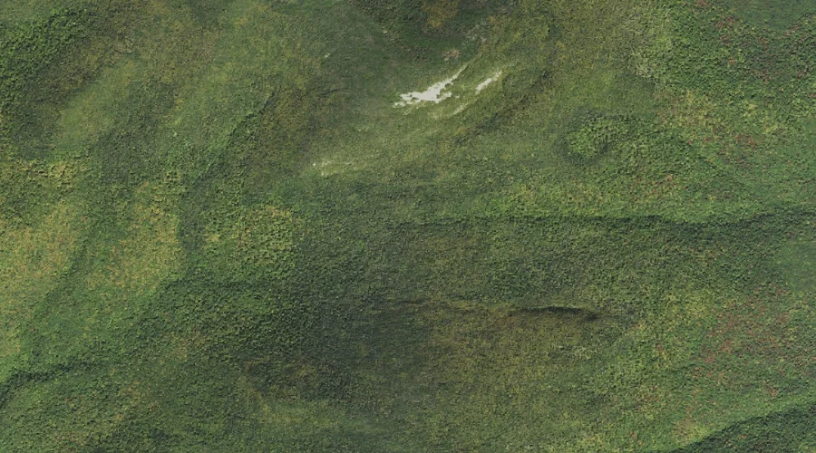
South Ponds is a lake in Coos County, New Hampshire, located about 31.2 miles west-northwest of Chapman Inn in Bethel, Maine. It appears on the USGS West Milan…
Bunnell Notch is a mountain gap in Coos County, New Hampshire, located about 31.2 miles west-northwest of Chapman Inn in Bethel, Maine. It appears on the USGS Jefferson…
Moose Pond is a lake in Coos County, New Hampshire, located about 31.2 miles northwest of Chapman Inn in Bethel, Maine. It appears on the USGS Teakettle Ridge…
Pliny Range is a mountain range in Coos County, New Hampshire, located about 31.1 miles west of Chapman Inn in Bethel, Maine. It appears on the USGS Jefferson…
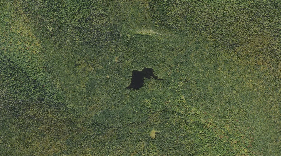
Unknown Pond is a lake in Coos County, New Hampshire, located about 31.0 miles west-northwest of Chapman Inn in Bethel, Maine. It appears on the USGS Stark topographic…
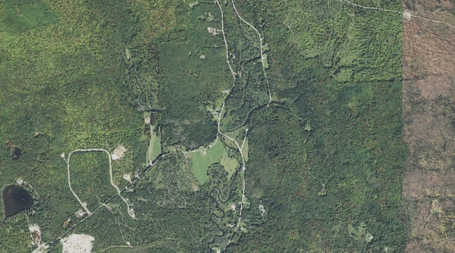
Clear Stream is a stream in Coos County, New Hampshire, located about 31.0 miles north-northwest of Chapman Inn in Bethel, Maine. It appears on the USGS Errol topographic…
Roberts Brooks is a stream in Coos County, New Hampshire, located about 31.0 miles west-northwest of Chapman Inn in Bethel, Maine. It appears on the USGS Dummer Ponds…