 Aerial imagery: USGS National Map (public domain)
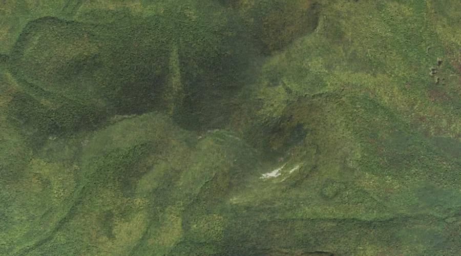
Pilot Range — Ranges 31.6 Miles WNW of Chapman Inn
Coos County, New Hampshire · USGS Stark Quadrangle · GNIS 869155
One of only 11 ranges catalogued within the 80 km reach of Chapman Inn, Pilot Range lies on the USGS Stark quadrangle in Coos County, New Hampshire — 31.6 miles west-northwest of the Inn.
Landmark Profile
Classification & USGS reference
Catalogued under GNIS Feature ID 869155, Pilot Range is recorded as a mountain range on the USGS Stark quadrangle in Coos County, New Hampshire (FIPS 33/007). Last revised by the Board on Geographic Names on 10/05/2024.
Coordinates & physical setting
Pilot Range sits at 44.50610° N, 71.41446° W (DMS 44°30′22″ N, 71°24′52″ W).
Other ranges in Coos County, New Hampshire
Coos County, NH contains 6 ranges catalogued in the USGS Geographic Names Information System, counting Pilot Range itself. The ones closest to Pilot Range:
| Feature | USGS Quadrangle | Distance |
|---|---|---|
| Pliny Range | Jefferson | 5.1 mi |
| Crescent Range | Mount Crescent | 8.5 mi |
| Dartmouth Range | Mount Dartmouth | 14.2 mi |
| White Mountains | Mount Washington | 17.2 mi |
| Presidential Range | Mount Washington | 17.2 mi |
Features on the USGS Stark Quadrangle
The Stark 7.5-minute topographic quadrangle holds 21 catalogued natural features alongside Pilot Range. A sampling nearest to this location:
| Feature | Type | County | Offset |
|---|---|---|---|
| Mount Cabot | Summits | Coos County, NH | 0 mi |
| The Bulge | Summits | Coos County, NH | 0.7 mi |
| The Horn | Summits | Coos County, NH | 1.1 mi |
| Unknown Pond | Lakes | Coos County, NH | 1.8 mi |
| West Branch Mill Brook | Streams | Coos County, NH | 3.3 mi |
| Fox Brook | Streams | Coos County, NH | 3.3 mi |
| Hutchins Mountain | Summits | Coos County, NH | 3.5 mi |
| Cummings Brook | Streams | Coos County, NH | 4 mi |
| East Branch Mill Brook | Streams | Coos County, NH | 4.2 mi |
| Hickey Brook | Streams | Coos County, NH | 5.1 mi |
Ranking & rarity
- Among the 11 ranges catalogued within 80 km of Chapman Inn, Pilot Range ranks #9 by proximity to the Inn (closer than 18%).
- This is one of only 11 ranges catalogued within Chapman Inn’s 80 km reach — a rare classification in the local landscape.
Visiting from Chapman Inn
Distance, bearing & drive time
A 54-minute drive along back roads separates the front door of Chapman Inn from Pilot Range — 31.6 miles west-northwest as the crow flies, on compass bearing WNW.
Best time to visit
Accessible May through November in most years. Being this far north (lat 44.506°), first snows typically arrive by mid-October and linger into early May — narrow the window accordingly. At 31.6 miles from the Inn, block the full day — sunrise start, late return, packed meals. Conditions at Pilot Range track the nearby Mount Cabot summit (essentially adjacent) closely — if that is runnable, so is this.
Nearest features to Pilot Range
| Feature | Type | County | Distance |
|---|---|---|---|
| Mount Cabot | Summits | Coos County, NH | 0 mi |
| The Bulge | Summits | Coos County, NH | 0.7 mi |
| Bunnell Notch | Gaps | Coos County, NH | 0.8 mi |
| The Horn | Summits | Coos County, NH | 1.1 mi |
| Unknown Pond | Lakes | Coos County, NH | 1.8 mi |
Frequently Asked Questions
Where is Pilot Range located?
Pilot Range is in Coos County, New Hampshire, approximately 31.6 miles west-northwest of Chapman Inn in Bethel, Maine. It appears on the USGS Stark topographic quadrangle.
How far is Pilot Range from Chapman Inn?
The drive runs about 54 minutes, 31.6 miles west-northwest (bearing WNW) of the Inn.
What type of natural feature is Pilot Range?
The U.S. Geological Survey classifies Pilot Range as a mountain range, catalogued under GNIS Feature ID 869155 on the Stark quadrangle.
When is the best time to visit Pilot Range?
Accessible May through November in most years.
How many other ranges are in Coos County, New Hampshire?
GNIS lists 5 other ranges in Coos County, New Hampshire.
How rare is ranges as a classification near Chapman Inn?
Only 11 ranges are catalogued within the 80 km radius of the Inn — a comparatively rare classification.