 Aerial imagery: USGS National Map (public domain)
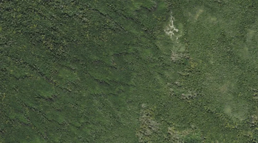
Tisdale Spring — Springs 32.3 Miles WSW of Chapman Inn
Coos County, New Hampshire · USGS Crawford Notch Quadrangle · GNIS 872822
One of only 11 springs catalogued within the 80 km reach of Chapman Inn, Tisdale Spring lies on the USGS Crawford Notch quadrangle in Coos County, New Hampshire — 32.3 miles west-southwest of the Inn.
Wikidata short description: “spring in Coös County, New Hampshire, United States of America”
Landmark Profile
Classification & USGS reference
Within Coos County, New Hampshire, the U.S. Geological Survey lists Tisdale Spring as a spring on the Crawford Notch topographic quadrangle (FIPS 33/007), under Feature ID 872822. Catalogued in GNIS since 08/27/1980.
Coordinates & physical setting
Tisdale Spring sits at 44.20173° N, 71.37785° W (DMS 44°12′06″ N, 71°22′40″ W).
Features on the USGS Crawford Notch Quadrangle
The Crawford Notch 7.5-minute topographic quadrangle holds 41 catalogued natural features alongside Tisdale Spring. A sampling nearest to this location:
| Feature | Type | County | Offset |
|---|---|---|---|
| Mount Jackson | Summits | Coos County, NH | 0.2 mi |
| Mount Webster | Summits | Coos County, NH | 0.7 mi |
| Silver Cascade | Streams | Coos County, NH | 1.3 mi |
| Flume Cascade | Streams | Carroll County, NH | 1.4 mi |
| Willey Brook | Streams | Grafton County, NH | 1.5 mi |
| Elephant Head | Pillars | Carroll County, NH | 1.5 mi |
| Mount Willard | Summits | Carroll County, NH | 1.7 mi |
| Elephant Head Brook | Streams | Coos County, NH | 1.8 mi |
| Saco Lake | Lakes | Coos County, NH | 1.9 mi |
| Kedron Brook | Streams | Carroll County, NH | 2 mi |
Ranking & rarity
- Among the 11 springs catalogued within 80 km of Chapman Inn, Tisdale Spring ranks #6 by proximity to the Inn (closer than 45%).
- This is one of only 11 springs catalogued within Chapman Inn’s 80 km reach — a rare classification in the local landscape.
Visiting from Chapman Inn
Distance, bearing & drive time
Follow the compass bearing WSW out of Bethel for 32.3 miles (west-southwest) and you reach Tisdale Spring; at typical rural speeds the trip runs roughly 55 minutes.
Best time to visit
Best observed in late spring and early summer when flow is strong and banks are visible. Being this far north (lat 44.202°), first snows typically arrive by mid-October and linger into early May — narrow the window accordingly. At 32.3 miles from the Inn, block the full day — sunrise start, late return, packed meals. Conditions at Tisdale Spring track the nearby Mount Jackson summit (0.2 mi away) closely — if that is runnable, so is this.
Nearest features to Tisdale Spring
| Feature | Type | County | Distance |
|---|---|---|---|
| Mount Jackson | Summits | Coos County, NH | 0.2 mi |
| Mount Webster | Summits | Coos County, NH | 0.7 mi |
| Silver Cascade | Streams | Coos County, NH | 1.3 mi |
| Flume Cascade | Streams | Carroll County, NH | 1.4 mi |
| Willey Brook | Streams | Grafton County, NH | 1.5 mi |
Frequently Asked Questions
Where is Tisdale Spring located?
Tisdale Spring is in Coos County, New Hampshire, approximately 32.3 miles west-southwest of Chapman Inn in Bethel, Maine. It appears on the USGS Crawford Notch topographic quadrangle.
How far is Tisdale Spring from Chapman Inn?
The drive runs about 55 minutes, 32.3 miles west-southwest (bearing WSW) of the Inn.
What type of natural feature is Tisdale Spring?
The U.S. Geological Survey classifies Tisdale Spring as a spring, catalogued under GNIS Feature ID 872822 on the Crawford Notch quadrangle.
When is the best time to visit Tisdale Spring?
Best observed in late spring and early summer when flow is strong and banks are visible.
How rare is springs as a classification near Chapman Inn?
Only 11 springs are catalogued within the 80 km radius of the Inn — a comparatively rare classification.
Wikidata: Q35525148.