Dead Diamond River is a stream in Coos County, New Hampshire, located about 35.0 miles north-northwest of Chapman Inn in Bethel, Maine. It appears on the USGS Wilsons…
The Bog is a swamp in Coos County, New Hampshire, located about 35.0 miles northwest of Chapman Inn in Bethel, Maine. It appears on the USGS Dixville Notch…
Victor Head is a summit in Coos County, New Hampshire, located about 34.8 miles west-northwest of Chapman Inn in Bethel, Maine. It appears on the USGS Percy Peaks…
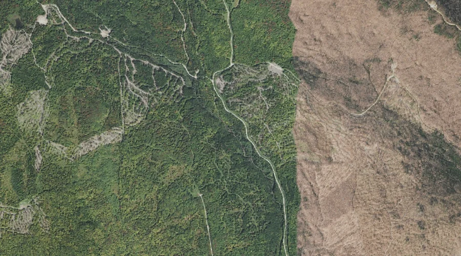
West Branch Phillips Brook is a stream in Coos County, New Hampshire, located about 34.8 miles northwest of Chapman Inn in Bethel, Maine. It appears on the USGS…
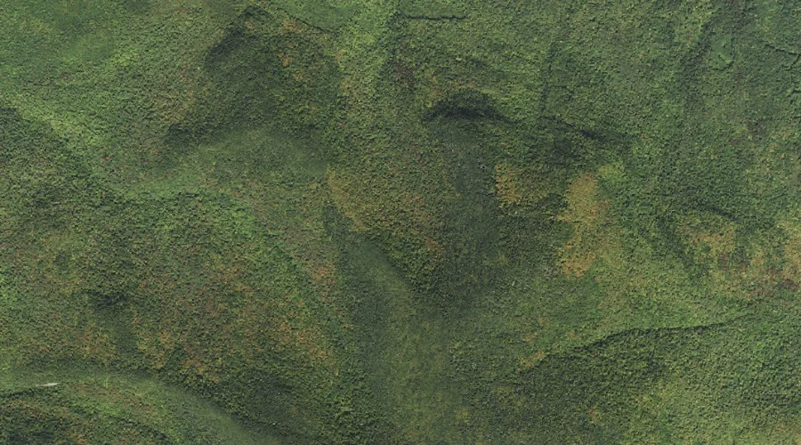
Long Mountain is a ridge in Coos County, New Hampshire, located about 34.8 miles west-northwest of Chapman Inn in Bethel, Maine. It appears on the USGS Percy Peaks…
McCordick Brook is a stream in Coos County, New Hampshire, located about 34.6 miles west-northwest of Chapman Inn in Bethel, Maine. It appears on the USGS Stark topographic…
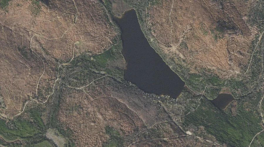
Millsfield Pond is a lake in Coos County, New Hampshire, located about 34.6 miles northwest of Chapman Inn in Bethel, Maine. It appears on the USGS Dixville Notch…
West Inlet is a stream in Coos County, New Hampshire, located about 34.6 miles northwest of Chapman Inn in Bethel, Maine. It appears on the USGS Dixville Notch…
The Humps is a summit in Coos County, New Hampshire, located about 34.6 miles west of Chapman Inn in Bethel, Maine. It appears on the USGS Mount Dartmouth…
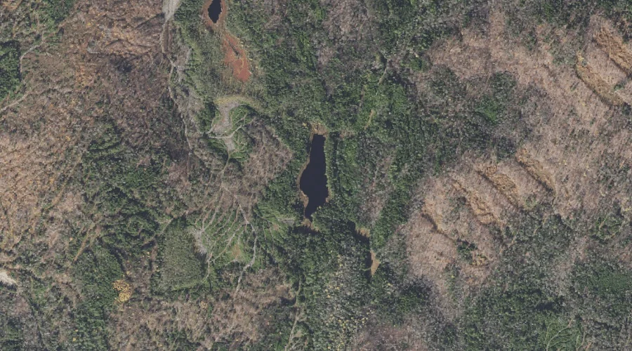
Dustan Pond is a lake in Coos County, New Hampshire, located about 34.6 miles north-northwest of Chapman Inn in Bethel, Maine. It appears on the USGS Umbagog Lake…