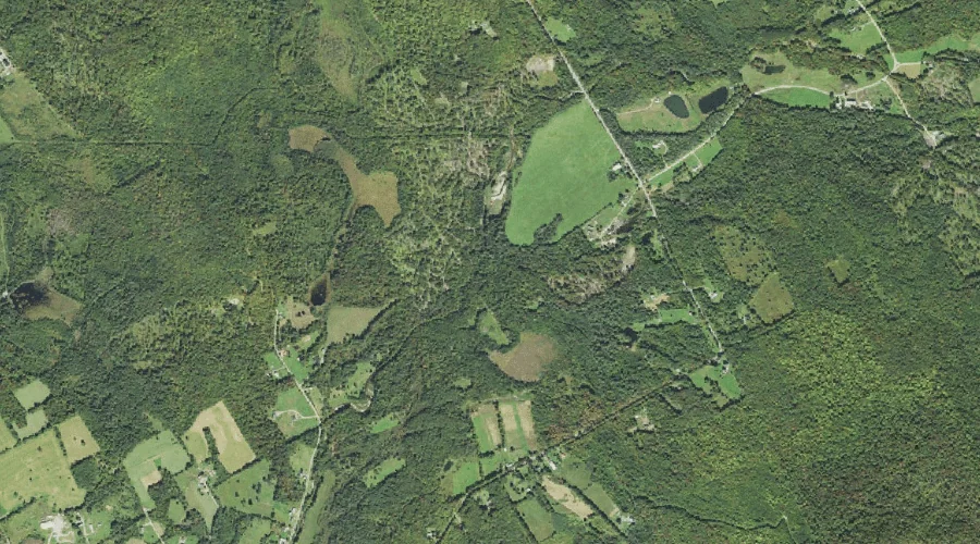
Bunnell Brook is a stream in Coos County, New Hampshire, located about 34.7 miles west of Chapman Inn in Bethel, Maine. It appears on the USGS Jefferson topographic…
Priscilla Brook is a stream in Coos County, New Hampshire, located about 34.4 miles west of Chapman Inn in Bethel, Maine. It appears on the USGS Jefferson topographic…
Mount Dustan is a summit in Coos County, New Hampshire, located about 34.5 miles north-northwest of Chapman Inn in Bethel, Maine. It appears on the USGS Umbagog Lake…
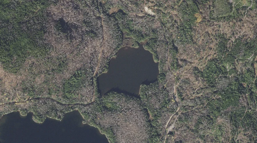
Little Greenough Pond is a lake in Coos County, New Hampshire, located about 34.5 miles north-northwest of Chapman Inn in Bethel, Maine. It appears on the USGS Errol…
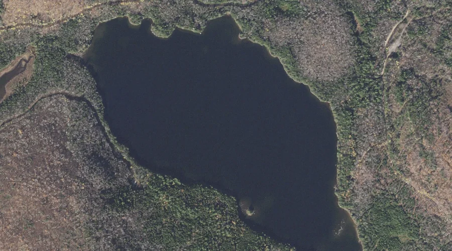
Christine Lake is a lake in Coos County, New Hampshire, located about 34.2 miles west-northwest of Chapman Inn in Bethel, Maine. It appears on the USGS Percy Peaks…
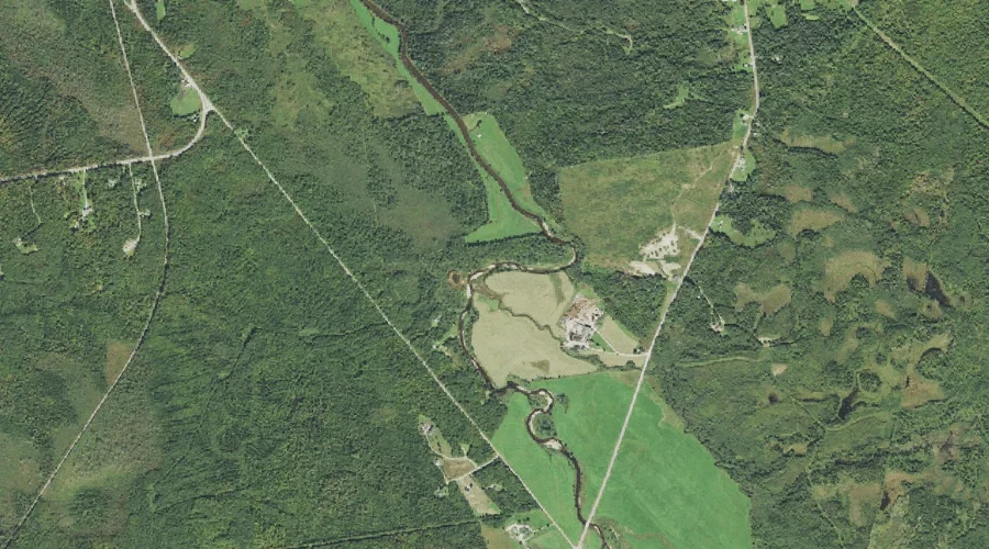
Millsfield Pond Brook is a stream in Coos County, New Hampshire, located about 34.2 miles northwest of Chapman Inn in Bethel, Maine. It appears on the USGS Errol…
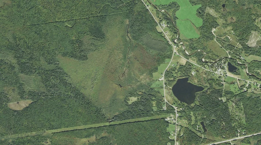
Greenough Pond is a lake in Coos County, New Hampshire, located about 34.2 miles north-northwest of Chapman Inn in Bethel, Maine. It appears on the USGS Errol topographic…
Stanley Slide Brook is a stream in Coos County, New Hampshire, located about 34.3 miles west of Chapman Inn in Bethel, Maine. It appears on the USGS Mount…
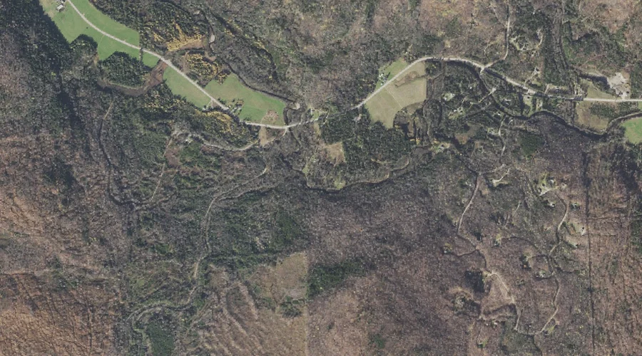
Hutchins Mountain is a summit in Coos County, New Hampshire, located about 34.3 miles west-northwest of Chapman Inn in Bethel, Maine. It appears on the USGS Stark topographic…
Little Mount Deception is a summit in Coos County, New Hampshire, located about 34.0 miles west-southwest of Chapman Inn in Bethel, Maine. It appears on the USGS Mount…