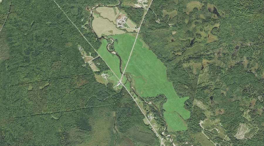
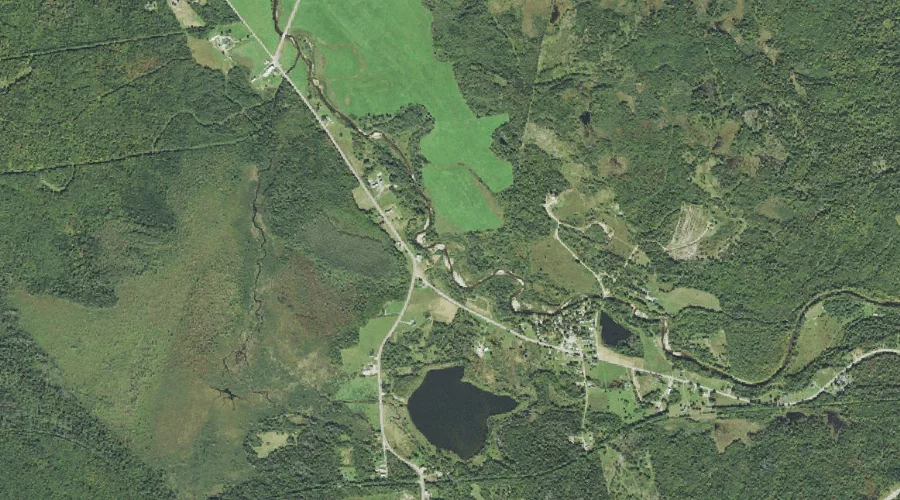
Mill Brook is a stream in Coos County, New Hampshire, located about 34.1 miles west of Chapman Inn in Bethel, Maine. It appears on the USGS Jefferson topographic…
Dickey Hill is a summit in Coos County, New Hampshire, located about 34.1 miles west-northwest of Chapman Inn in Bethel, Maine. It appears on the USGS Stark topographic…
Bald Mountain is a summit in Coos County, New Hampshire, located about 33.8 miles west-northwest of Chapman Inn in Bethel, Maine. It appears on the USGS Percy Peaks…
Dry River is a stream in Coos County, New Hampshire, located about 33.8 miles west-southwest of Chapman Inn in Bethel, Maine. It appears on the USGS Stairs Mountain…
Devils Slide is a cliff face in Coos County, New Hampshire, located about 33.8 miles west-northwest of Chapman Inn in Bethel, Maine. It appears on the USGS Stark…
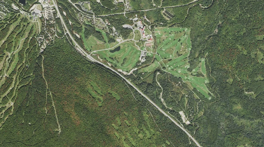
Mount Hope is a summit in Coos County, New Hampshire, located about 33.9 miles southwest of Chapman Inn in Bethel, Maine. It appears on the USGS Bartlett topographic…
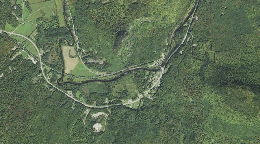
Sebosis Brook is a stream in Coos County, New Hampshire, located about 34.0 miles west-southwest of Chapman Inn in Bethel, Maine. It appears on the USGS Mount Dartmouth…
Mill Brook is a stream in Coos County, New Hampshire, located about 33.6 miles west-northwest of Chapman Inn in Bethel, Maine. It appears on the USGS Stark topographic…
Red Brook is a stream in Coos County, New Hampshire, located about 33.7 miles west of Chapman Inn in Bethel, Maine. It appears on the USGS Jefferson topographic…
Corser Brook is a stream in Coos County, New Hampshire, located about 33.7 miles northwest of Chapman Inn in Bethel, Maine. It appears on the USGS Errol topographic…