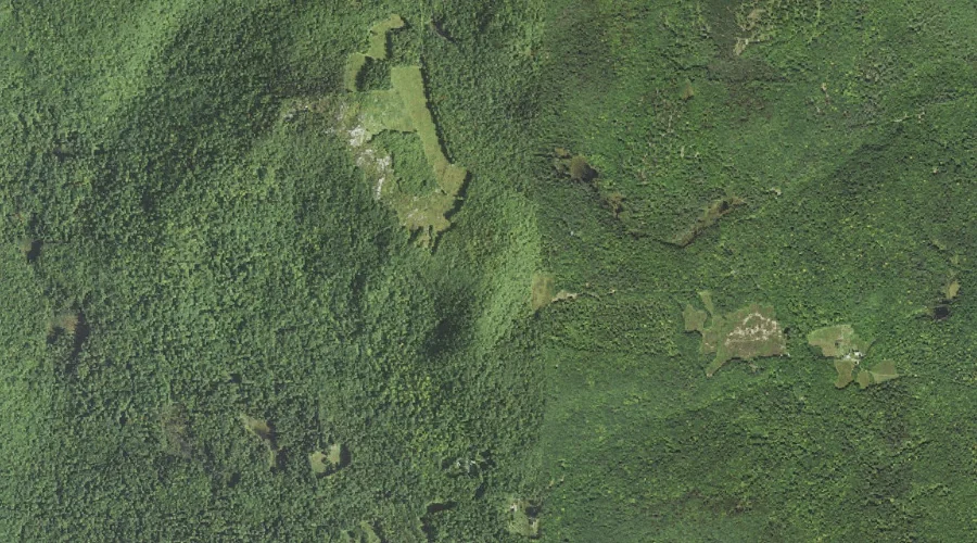
Foss Mountain is a ridge in Carroll County, New Hampshire, located about 38.4 miles south-southwest of Chapman Inn in Bethel, Maine. It appears on the USGS Conway topographic…
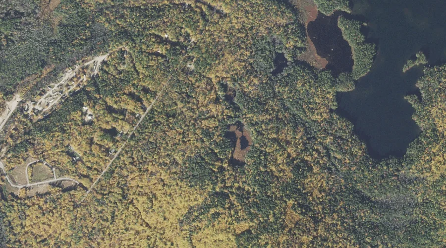
Haunted Pond is a lake in Carroll County, New Hampshire, located about 38.5 miles south-southwest of Chapman Inn in Bethel, Maine. It appears on the USGS Silver Lake…
Lyman Mountain is a ridge in Carroll County, New Hampshire, located about 38.5 miles south-southwest of Chapman Inn in Bethel, Maine. It appears on the USGS Conway topographic…
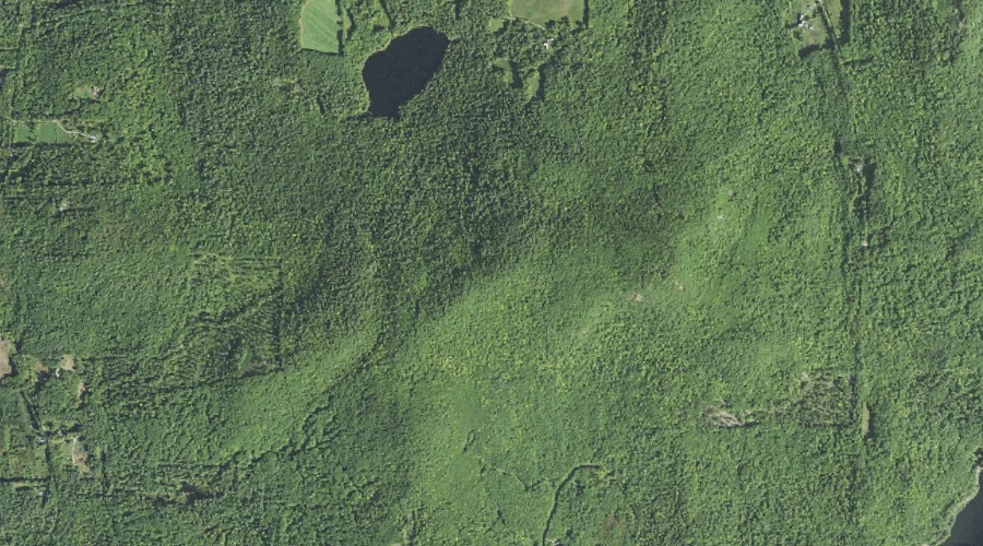
Pine Hill is a summit in Carroll County, New Hampshire, located about 38.6 miles south-southwest of Chapman Inn in Bethel, Maine. It appears on the USGS Silver Lake…
Chamberlain Ledge is a bench terrace in Carroll County, New Hampshire, located about 38.6 miles south-southwest of Chapman Inn in Bethel, Maine. It appears on the USGS Silver…
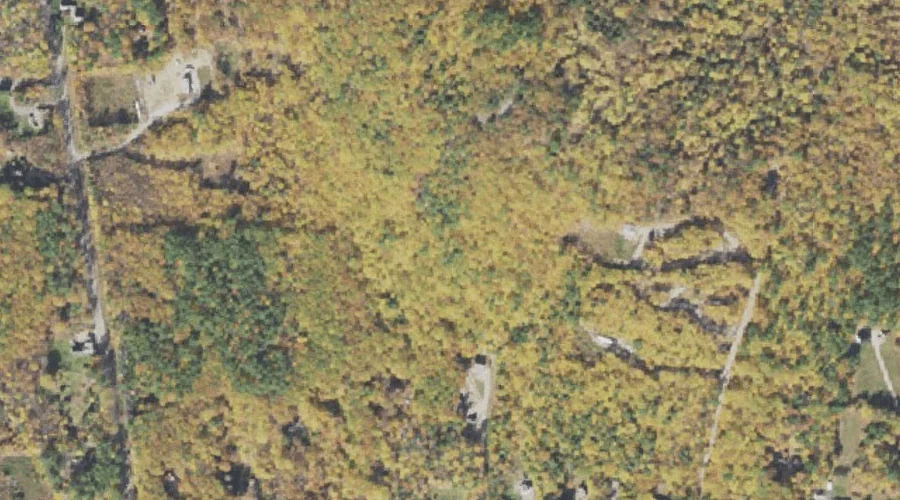
Salter Hill is a summit in Carroll County, New Hampshire, located about 38.2 miles south-southwest of Chapman Inn in Bethel, Maine. It appears on the USGS Silver Lake…
Carter Ledge is a bench terrace in Carroll County, New Hampshire, located about 38.3 miles southwest of Chapman Inn in Bethel, Maine. It appears on the USGS Mount…
Twin Brook is a stream in Carroll County, New Hampshire, located about 38.1 miles southwest of Chapman Inn in Bethel, Maine. It appears on the USGS Mount Chocorua…
Loud Pond is a lake in Carroll County, New Hampshire, located about 38.1 miles south-southwest of Chapman Inn in Bethel, Maine. It appears on the USGS Conway topographic…
Manson Hill is a summit in Carroll County, New Hampshire, located about 37.9 miles south-southwest of Chapman Inn in Bethel, Maine. It appears on the USGS Conway topographic…