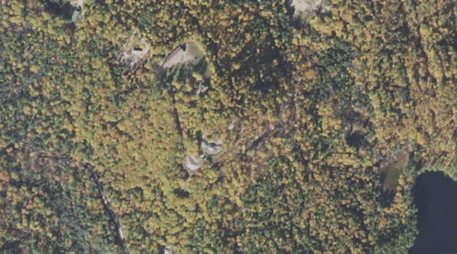
Hedgehog Hill is a summit in Carroll County, New Hampshire, located about 39.7 miles south-southwest of Chapman Inn in Bethel, Maine. It appears on the USGS Silver Lake…
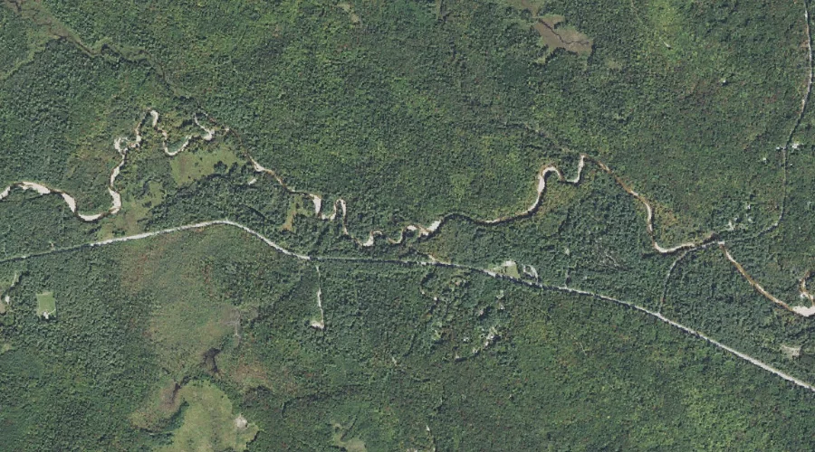
White Brook is a stream in Carroll County, New Hampshire, located about 39.6 miles southwest of Chapman Inn in Bethel, Maine. It appears on the USGS Mount Chocorua…
Pond Brook is a stream in Carroll County, New Hampshire, located about 39.6 miles southwest of Chapman Inn in Bethel, Maine. It appears on the USGS Bartlett topographic…
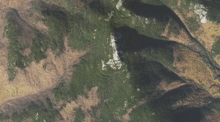
Weetamoo Rock is a rock pillar in Carroll County, New Hampshire, located about 39.6 miles southwest of Chapman Inn in Bethel, Maine. It appears on the USGS Mount…
Bald Mountain is a summit in Carroll County, New Hampshire, located about 39.7 miles southwest of Chapman Inn in Bethel, Maine. It appears on the USGS Mount Chocorua…
Oliveran Brook is a stream in Carroll County, New Hampshire, located about 39.4 miles southwest of Chapman Inn in Bethel, Maine. It appears on the USGS Mount Chocorua…
Farlow Ridge is a ridge in Carroll County, New Hampshire, located about 39.4 miles southwest of Chapman Inn in Bethel, Maine. It appears on the USGS Mount Chocorua…
Bragdon Ledge is a bench terrace in Carroll County, New Hampshire, located about 39.5 miles southwest of Chapman Inn in Bethel, Maine. It appears on the USGS Silver…
Cranberry Bog is a lake in Carroll County, New Hampshire, located about 39.5 miles south-southwest of Chapman Inn in Bethel, Maine. It appears on the USGS Silver Lake…
Tyler Bog is a lake in Carroll County, New Hampshire, located about 39.3 miles south-southwest of Chapman Inn in Bethel, Maine. It appears on the USGS Silver Lake…