Kent Hill is a summit in Carroll County, New Hampshire, located about 37.4 miles south-southwest of Chapman Inn in Bethel, Maine. It appears on the USGS Conway topographic…
Stewart Hill is a summit in Carroll County, New Hampshire, located about 37.2 miles south-southwest of Chapman Inn in Bethel, Maine. It appears on the USGS Conway topographic…
Banfield Brook is a stream in Carroll County, New Hampshire, located about 37.2 miles south-southwest of Chapman Inn in Bethel, Maine. It appears on the USGS Silver Lake…
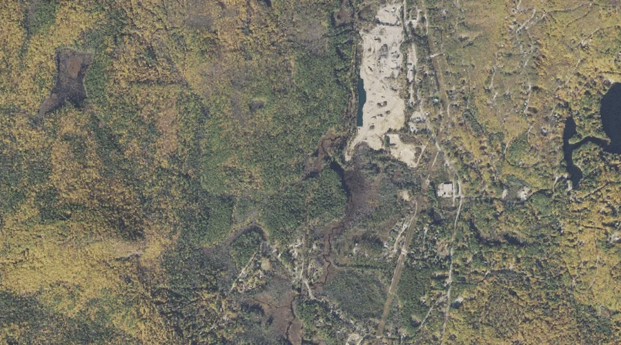
Whitton Ledge is a bench terrace in Carroll County, New Hampshire, located about 37.3 miles south-southwest of Chapman Inn in Bethel, Maine. It appears on the USGS Silver…
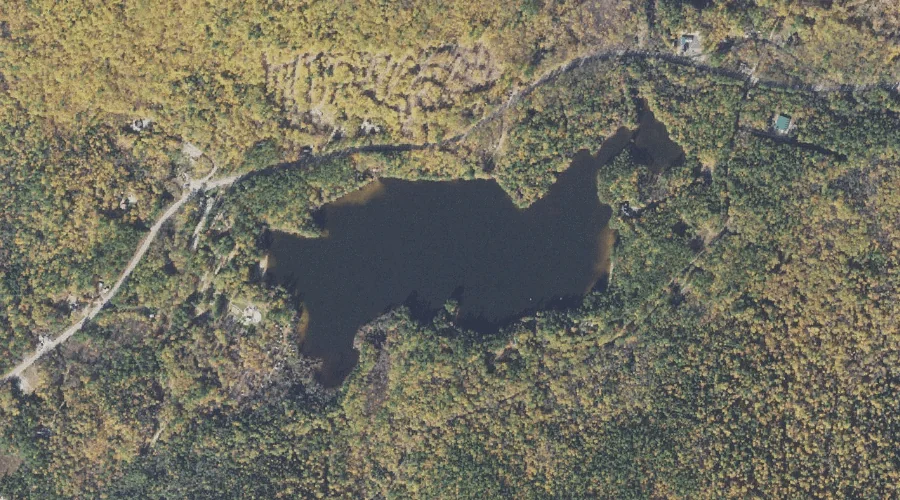
Pickerel Pond is a lake in Carroll County, New Hampshire, located about 37.3 miles south-southwest of Chapman Inn in Bethel, Maine. It appears on the USGS Conway topographic…
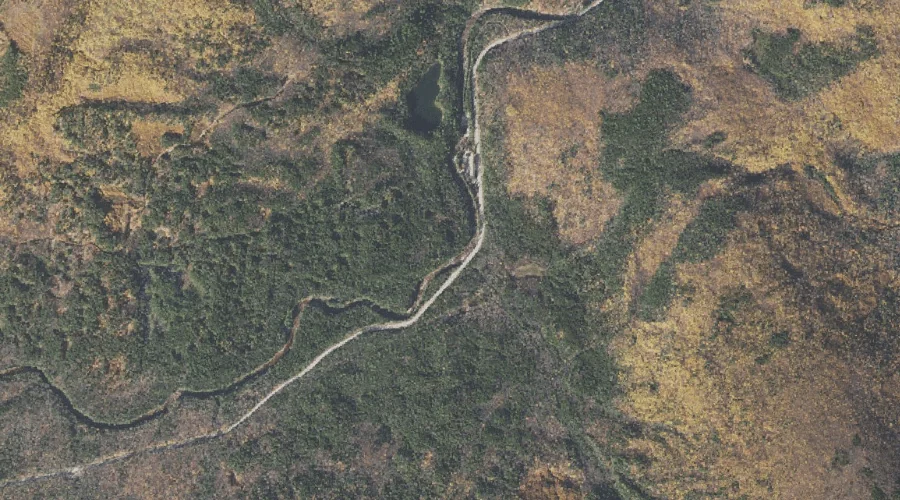
Steam Mill Brook is a stream in Carroll County, New Hampshire, located about 37.1 miles southwest of Chapman Inn in Bethel, Maine. It appears on the USGS Mount…
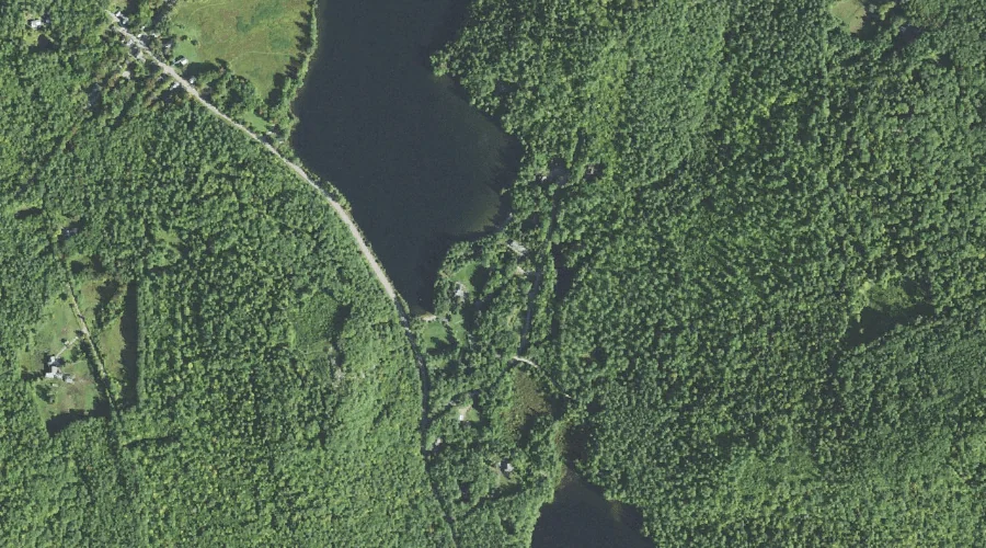
Iona Lake is a lake in Carroll County, New Hampshire, located about 37.1 miles south-southwest of Chapman Inn in Bethel, Maine. It appears on the USGS Silver Lake…
Mount Tremont is a summit in Carroll County, New Hampshire, located about 37.1 miles southwest of Chapman Inn in Bethel, Maine. It appears on the USGS Bartlett topographic…
Albany Intervale is a valley in Carroll County, New Hampshire, located about 37.0 miles southwest of Chapman Inn in Bethel, Maine. It appears on the USGS Bartlett topographic…
Moose Pond is a lake in Carroll County, New Hampshire, located about 37.0 miles southwest of Chapman Inn in Bethel, Maine. It appears on the USGS Mount Chocorua…