Mount Chocorua is a summit in Carroll County, New Hampshire, located about 39.3 miles southwest of Chapman Inn in Bethel, Maine. It rises to 3,481 feet above sea…
Crothers Hill is a summit in Carroll County, New Hampshire, located about 39.1 miles south-southwest of Chapman Inn in Bethel, Maine. It appears on the USGS Silver Lake…
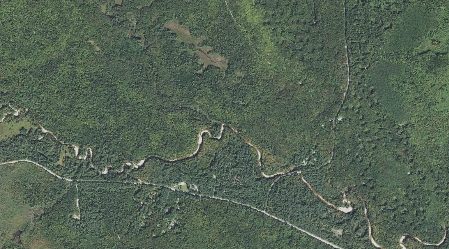
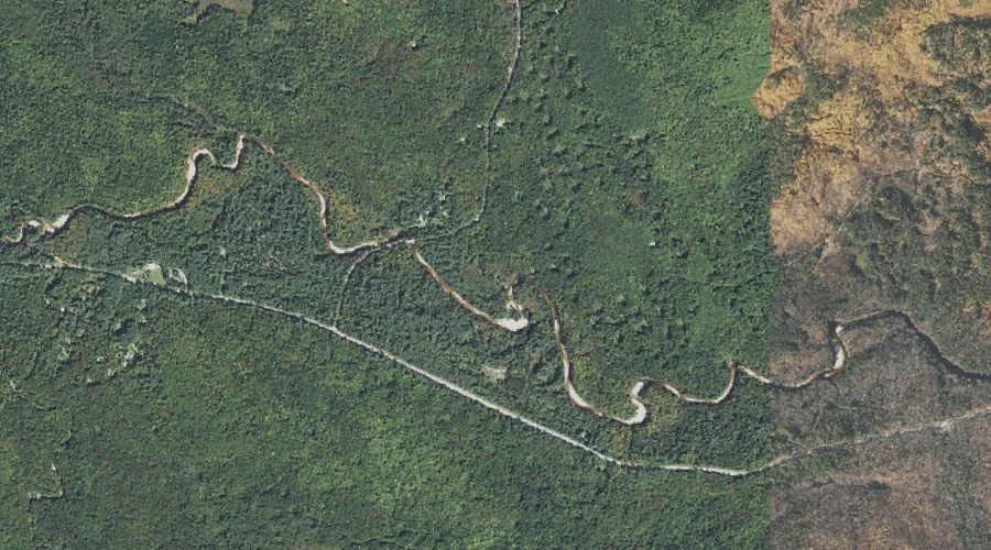
Rob Brook is a stream in Carroll County, New Hampshire, located about 38.9 miles southwest of Chapman Inn in Bethel, Maine. It appears on the USGS Bartlett topographic…
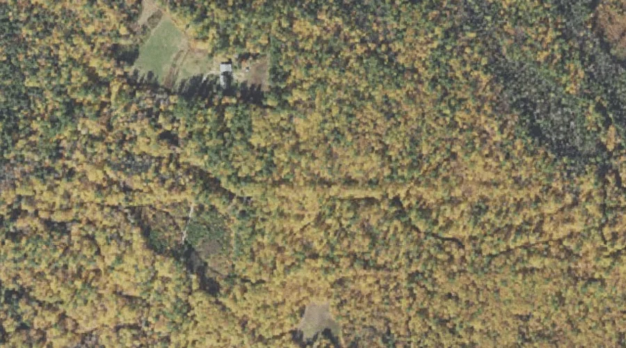
Birch Hill is a summit in Carroll County, New Hampshire, located about 39.0 miles southwest of Chapman Inn in Bethel, Maine. It appears on the USGS Bartlett topographic…
Nickerson Ledge is a bench terrace in Carroll County, New Hampshire, located about 38.7 miles southwest of Chapman Inn in Bethel, Maine. It appears on the USGS Silver…
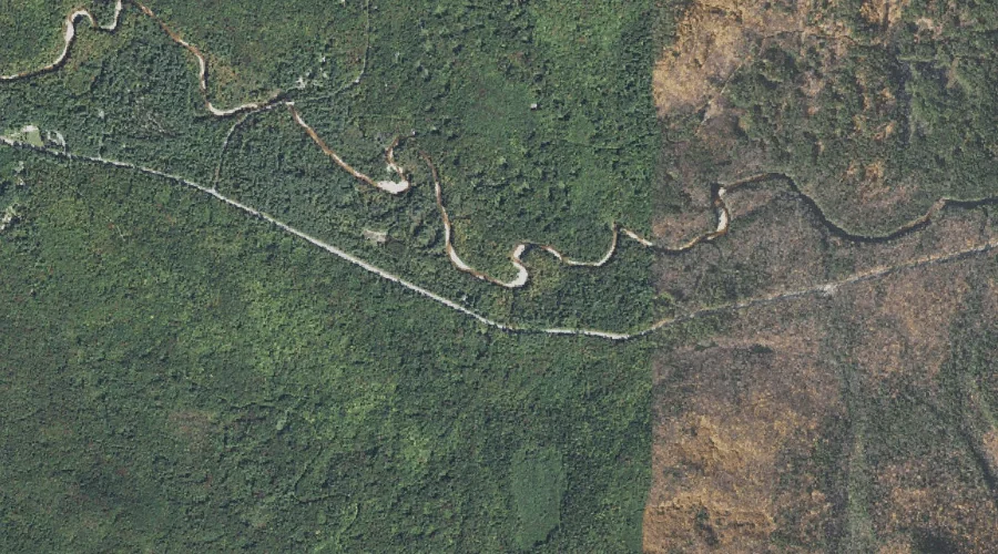
Currier Brook is a stream in Carroll County, New Hampshire, located about 38.7 miles southwest of Chapman Inn in Bethel, Maine. It appears on the USGS Mount Chocorua…
Cragged Mountain is a summit in Carroll County, New Hampshire, located about 38.8 miles south-southwest of Chapman Inn in Bethel, Maine. It appears on the USGS Freedom topographic…
Three Sisters is a ridge in Carroll County, New Hampshire, located about 38.8 miles southwest of Chapman Inn in Bethel, Maine. It appears on the USGS Mount Chocorua…
Long Pond is a lake in Carroll County, New Hampshire, located about 38.6 miles south-southwest of Chapman Inn in Bethel, Maine. It appears on the USGS Conway topographic…
Douglas Brook is a stream in Carroll County, New Hampshire, located about 38.7 miles southwest of Chapman Inn in Bethel, Maine. It appears on the USGS Mount Chocorua…