 Aerial imagery: USGS National Map (public domain)
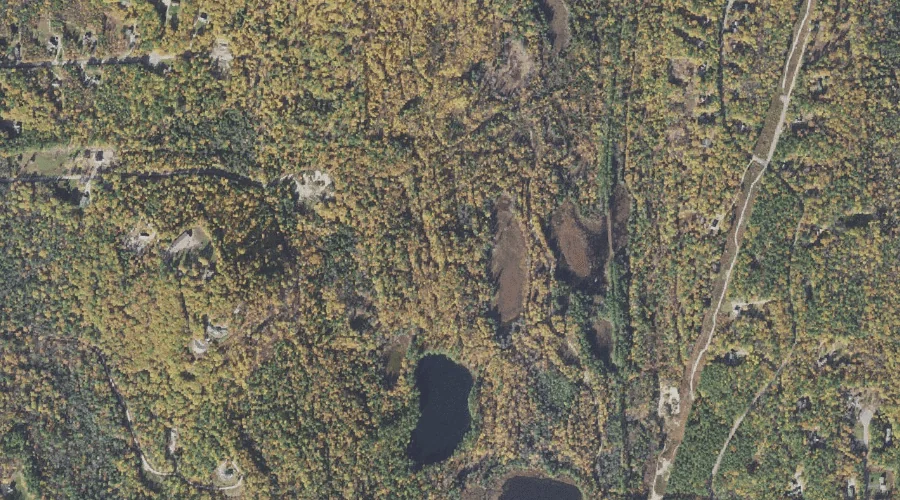
Cranberry Bog — Lakes 39.5 Miles SSW of Chapman Inn
Carroll County, New Hampshire · USGS Silver Lake Quadrangle · GNIS 871734
39.5 miles south-southwest of Chapman Inn, on the USGS Silver Lake topographic quadrangle, Cranberry Bog is a lake recorded in Carroll County, New Hampshire by the federal Geographic Names Information System.
Landmark Profile
Classification & USGS reference
The USGS Silver Lake 7.5-minute topographic quadrangle places Cranberry Bog in Carroll County, New Hampshire (FIPS 33/003), classified as a lake in the federal GNIS (Feature ID 871734). Catalogued in GNIS since 08/27/1980.
Coordinates & physical setting
Cranberry Bog sits at 43.90341° N, 71.17146° W (DMS 43°54′12″ N, 71°10′17″ W).
Other lakes in Carroll County, New Hampshire
Carroll County, NH contains 62 lakes catalogued in the USGS Geographic Names Information System, counting Cranberry Bog itself. The ones closest to Cranberry Bog:
| Feature | USGS Quadrangle | Distance |
|---|---|---|
| Blue Pond | Silver Lake | 0.2 mi |
| Tyler Bog | Silver Lake | 0.3 mi |
| Mack Pond | Silver Lake | 0.5 mi |
| Drew Pond | Silver Lake | 0.7 mi |
| Davis Pond | Silver Lake | 1.5 mi |
| Mailly Pond | Silver Lake | 1.6 mi |
| Durgin Pond | Silver Lake | 2.3 mi |
| Whitton Pond | Silver Lake | 2.9 mi |
| Haunted Pond | Silver Lake | 2.9 mi |
| Back Pond | Silver Lake | 3 mi |
Features on the USGS Silver Lake Quadrangle
The Silver Lake 7.5-minute topographic quadrangle holds 63 catalogued natural features alongside Cranberry Bog. A sampling nearest to this location:
| Feature | Type | County | Offset |
|---|---|---|---|
| Blue Pond | Lakes | Carroll County, NH | 0.2 mi |
| Tyler Bog | Lakes | Carroll County, NH | 0.3 mi |
| Hedgehog Hill | Summits | Carroll County, NH | 0.3 mi |
| Mack Pond | Lakes | Carroll County, NH | 0.5 mi |
| Drew Pond | Lakes | Carroll County, NH | 0.7 mi |
| Crothers Hill | Summits | Carroll County, NH | 1 mi |
| Salter Brook | Streams | Carroll County, NH | 1 mi |
| Frost Brook | Streams | Carroll County, NH | 1.1 mi |
| Forrest Brook | Streams | Carroll County, NH | 1.1 mi |
| Ham Brook | Streams | Carroll County, NH | 1.3 mi |
Visiting from Chapman Inn
Distance, bearing & drive time
Chapman Inn sits 39.5 miles south-southwest (bearing SSW) of Cranberry Bog. At moderate back-road speeds the drive runs about 68 minutes — comfortably inside a half-day outing window after breakfast.
Best time to visit
June through September for paddling and swimming; January through March for ice fishing. At this latitude (43.903°), the shoulder seasons are workable — April and November can be comfortable on mild years. At 39.5 miles from the Inn, block the full day — sunrise start, late return, packed meals. Conditions at Cranberry Bog track the nearby Blue Pond lake (0.2 mi away) closely — if that is runnable, so is this.
Nearest features to Cranberry Bog
| Feature | Type | County | Distance |
|---|---|---|---|
| Blue Pond | Lakes | Carroll County, NH | 0.2 mi |
| Tyler Bog | Lakes | Carroll County, NH | 0.3 mi |
| Hedgehog Hill | Summits | Carroll County, NH | 0.3 mi |
| Mack Pond | Lakes | Carroll County, NH | 0.5 mi |
| Drew Pond | Lakes | Carroll County, NH | 0.7 mi |
Frequently Asked Questions
Where is Cranberry Bog located?
Cranberry Bog is in Carroll County, New Hampshire, approximately 39.5 miles south-southwest of Chapman Inn in Bethel, Maine. It appears on the USGS Silver Lake topographic quadrangle.
How far is Cranberry Bog from Chapman Inn?
The drive runs about 68 minutes, 39.5 miles south-southwest (bearing SSW) of the Inn.
What type of natural feature is Cranberry Bog?
The U.S. Geological Survey classifies Cranberry Bog as a lake, catalogued under GNIS Feature ID 871734 on the Silver Lake quadrangle.
When is the best time to visit Cranberry Bog?
June through September for paddling and swimming; January through March for ice fishing.
How many other lakes are in Carroll County, New Hampshire?
GNIS lists 61 other lakes in Carroll County, New Hampshire.