 Aerial imagery: USGS National Map (public domain)
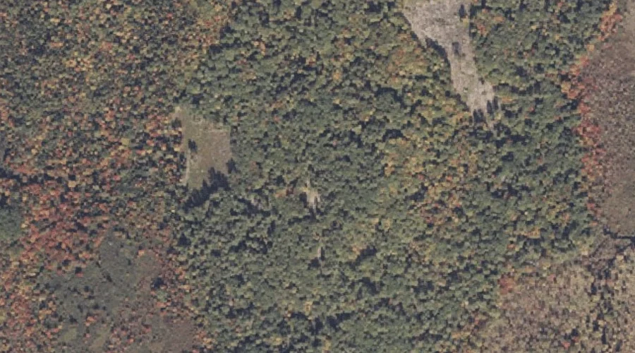
Hawkes Hill — Summits 26.4 Miles SE of Chapman Inn
Androscoggin County, Maine · USGS Oxford Quadrangle · GNIS 561018
At 384 feet of elevation, Hawkes Hill rises above Androscoggin County, Maine as a named summit on the USGS Oxford topographic quadrangle — about 26.4 miles southeast of Chapman Inn in Bethel, Maine.
Wikidata short description: “hill in Maine, USA”
Landmark Profile
Classification & USGS reference
The USGS Oxford 7.5-minute topographic quadrangle places Hawkes Hill in Androscoggin County, Maine (FIPS 23/001), classified as a summit in the federal GNIS (Feature ID 561018). Last revised by the Board on Geographic Names on 07/23/2022.
Coordinates & physical setting
Hawkes Hill sits at 44.14620° N, 70.39724° W (DMS 44°08′46″ N, 70°23′50″ W).
Dimensions & elevation
- Summit elevation 384 ft / 117 m — an easily accessible elevation.
Other summits in Androscoggin County, Maine
Androscoggin County, ME contains 71 summits catalogued in the USGS Geographic Names Information System, counting Hawkes Hill itself. The ones closest to Hawkes Hill:
| Feature | USGS Quadrangle | Elevation | Distance |
|---|---|---|---|
| Mount Hunger | Oxford | — | 1.5 mi |
| Pottle Hill | Lake Auburn West | — | 1.5 mi |
| Mount Prospect | Lake Auburn West | — | 2 mi |
| Bradbury Hill | Lake Auburn West | — | 3.1 mi |
| Woodman Hill | Lake Auburn West | — | 3.4 mi |
| Goff Ledge | Lake Auburn West | — | 3.5 mi |
| Hodge Hill | Minot | — | 3.8 mi |
| Pigeon Hill | Mechanic Falls | — | 4.2 mi |
| Shaw Hill | Lake Auburn West | — | 4.4 mi |
| Woodward Mountain | Lake Auburn West | — | 4.6 mi |
Features on the USGS Oxford Quadrangle
The Oxford 7.5-minute topographic quadrangle holds 34 catalogued natural features alongside Hawkes Hill. A sampling nearest to this location:
| Feature | Type | County | Offset |
|---|---|---|---|
| Hawkes Pond | Lakes | Androscoggin County, ME | 0.4 mi |
| West Branch Bog Brook | Streams | Oxford County, ME | 0.4 mi |
| Gardner Brook | Streams | Androscoggin County, ME | 0.5 mi |
| Middle Branch Bog Brook | Streams | Oxford County, ME | 1.3 mi |
| Mount Hunger | Summits | Androscoggin County, ME | 1.5 mi |
| Robinson Hill | Summits | Oxford County, ME | 1.8 mi |
| Jam Hill | Summits | Oxford County, ME | 1.9 mi |
| Marshall Pond | Reservoirs | Oxford County, ME | 2.3 mi |
| Minister Brook | Streams | Oxford County, ME | 2.8 mi |
| Dunham Brook | Streams | Oxford County, ME | 2.8 mi |
Visiting from Chapman Inn
Distance, bearing & drive time
Chapman Inn sits 26.4 miles southeast (bearing SE) of Hawkes Hill. At moderate back-road speeds the drive runs about 45 minutes — comfortably inside a half-day outing window after breakfast.
Best time to visit
Accessible May through November in most years. At this latitude (44.146°), the shoulder seasons are workable — April and November can be comfortable on mild years. At 26.4 miles from the Inn, block the full day — sunrise start, late return, packed meals. Conditions at Hawkes Hill track the nearby Hawkes Pond lake (0.4 mi away) closely — if that is runnable, so is this.
Nearest features to Hawkes Hill
| Feature | Type | County | Distance |
|---|---|---|---|
| Hawkes Pond | Lakes | Androscoggin County, ME | 0.4 mi |
| West Branch Bog Brook | Streams | Oxford County, ME | 0.4 mi |
| Gardner Brook | Streams | Androscoggin County, ME | 0.5 mi |
| Middle Branch Bog Brook | Streams | Oxford County, ME | 1.3 mi |
| Mount Hunger | Summits | Androscoggin County, ME | 1.5 mi |
Frequently Asked Questions
Where is Hawkes Hill located?
Hawkes Hill is in Androscoggin County, Maine, approximately 26.4 miles southeast of Chapman Inn in Bethel, Maine. It appears on the USGS Oxford topographic quadrangle.
How far is Hawkes Hill from Chapman Inn?
The drive runs about 45 minutes, 26.4 miles southeast (bearing SE) of the Inn.
What type of natural feature is Hawkes Hill?
The U.S. Geological Survey classifies Hawkes Hill as a summit, catalogued under GNIS Feature ID 561018 on the Oxford quadrangle.
When is the best time to visit Hawkes Hill?
Accessible May through November in most years.
How tall is Hawkes Hill?
Hawkes Hill rises to 384 feet (117 metres) above sea level.
How many other summits are in Androscoggin County, Maine?
GNIS lists 70 other summits in Androscoggin County, Maine.
Wikidata: Q21551450.