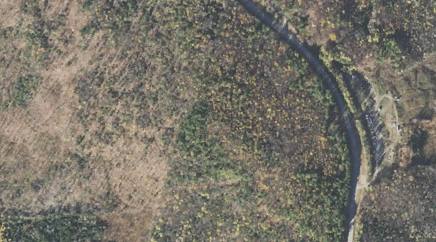
Ricker Hill is a summit in Androscoggin County, Maine, located about 26.2 miles east-southeast of Chapman Inn in Bethel, Maine. It appears on the USGS Buckfield topographic quadrangle.
Saddleback Mountain is a summit in Franklin County, Maine, located about 26.3 miles northeast of Chapman Inn in Bethel, Maine. It appears on the USGS Mount Blue topographic…
Hodgdon Hill is a summit in Coos County, New Hampshire, located about 26.3 miles west-northwest of Chapman Inn in Bethel, Maine. It appears on the USGS West Milan…
Cherry Hill is a summit in Franklin County, Maine, located about 26.3 miles northeast of Chapman Inn in Bethel, Maine. It appears on the USGS Weld topographic quadrangle.
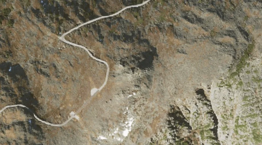
Agiocochook Crag is a summit in Coos County, New Hampshire, located about 26.3 miles west-southwest of Chapman Inn in Bethel, Maine. It appears on the USGS Mount Washington…
Hawkes Hill is a summit in Androscoggin County, Maine, located about 26.4 miles southeast of Chapman Inn in Bethel, Maine. It rises to 384 feet above sea level,…
Thorn Mountain is a summit in Carroll County, New Hampshire, located about 26.1 miles southwest of Chapman Inn in Bethel, Maine. It appears on the USGS Jackson topographic…
Mount Randolph is a summit in Coos County, New Hampshire, located about 26.2 miles west of Chapman Inn in Bethel, Maine. It appears on the USGS Mount Crescent…
Pleasant Mountain is a summit in Oxford County, Maine, located about 26.2 miles south of Chapman Inn in Bethel, Maine. It appears on the USGS Pleasant Mountain topographic…
Brighton Hill is a summit in Oxford County, Maine, located about 25.9 miles east-southeast of Chapman Inn in Bethel, Maine. It appears on the USGS Lake Auburn West…