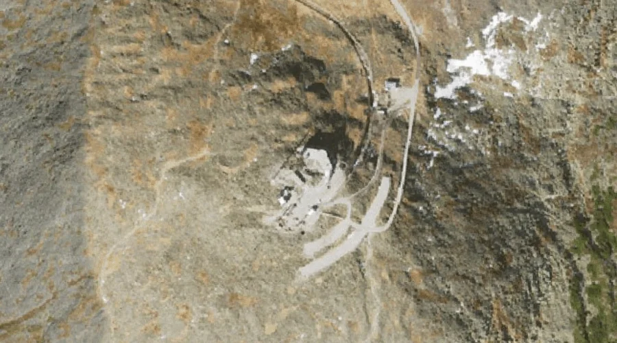
Mount Washington is a summit in Coos County, New Hampshire, located about 27.1 miles west-southwest of Chapman Inn in Bethel, Maine. It appears on the USGS Mount Washington…
Tiger Hill is a summit in Oxford County, Maine, located about 26.8 miles southeast of Chapman Inn in Bethel, Maine. It appears on the USGS Mechanic Falls topographic…
Scribner Hill is a summit in Oxford County, Maine, located about 26.9 miles south-southeast of Chapman Inn in Bethel, Maine. It appears on the USGS Casco topographic quadrangle.
Hackett Hill is a summit in Androscoggin County, Maine, located about 26.9 miles east of Chapman Inn in Bethel, Maine. It appears on the USGS Livermore Falls topographic…
Mount Hunger is a summit in Androscoggin County, Maine, located about 26.9 miles southeast of Chapman Inn in Bethel, Maine. It appears on the USGS Oxford topographic quadrangle.
Dean Hill is a summit in Oxford County, Maine, located about 26.9 miles southeast of Chapman Inn in Bethel, Maine. It appears on the USGS Mechanic Falls topographic…
Hurricane Mountain is a summit in Carroll County, New Hampshire, located about 26.9 miles south-southwest of Chapman Inn in Bethel, Maine. It appears on the USGS North Conway…
Chandler Ledge is a summit in Coos County, New Hampshire, located about 26.6 miles west-northwest of Chapman Inn in Bethel, Maine. It appears on the USGS West Milan…
Tumbledown Mountain is a summit in Franklin County, Maine, located about 26.6 miles north-northeast of Chapman Inn in Bethel, Maine. It rises to 3,054 feet above sea level,…
Academy Hill is a summit in Oxford County, Maine, located about 26.7 miles east of Chapman Inn in Bethel, Maine. It appears on the USGS Canton topographic quadrangle.