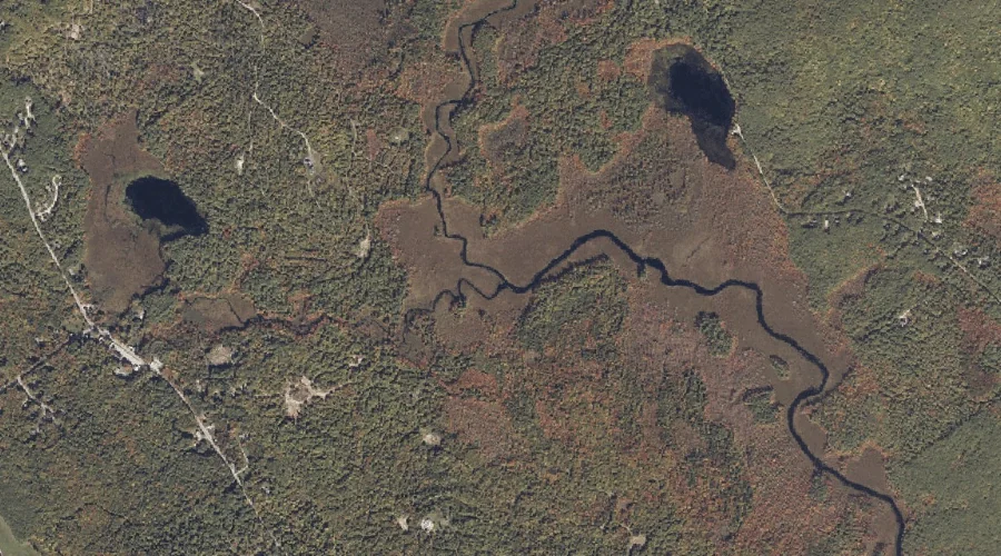
Garland Brook is a stream in Coos County, New Hampshire, located about 35.7 miles west of Chapman Inn in Bethel, Maine. It appears on the USGS Lancaster topographic…
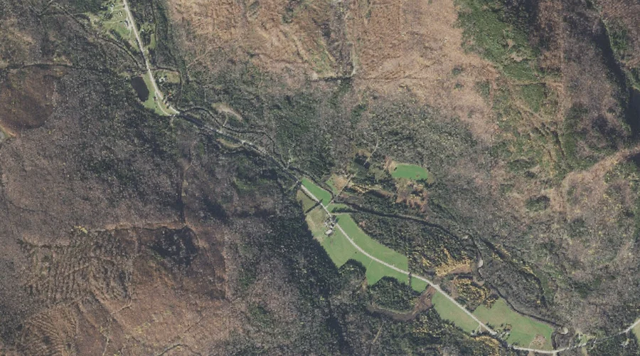
Mill Brook is a stream in Cumberland County, Maine, located about 35.7 miles south of Chapman Inn in Bethel, Maine. It appears on the USGS North Sebago topographic…
Taylor Brook is a stream in Androscoggin County, Maine, located about 35.5 miles southeast of Chapman Inn in Bethel, Maine. It appears on the USGS Lewiston topographic quadrangle.
Welch Brook is a stream in Coos County, New Hampshire, located about 35.5 miles northwest of Chapman Inn in Bethel, Maine. It appears on the USGS Errol topographic…
Little Androscoggin River is a stream in Androscoggin County, Maine, located about 35.5 miles southeast of Chapman Inn in Bethel, Maine. It appears on the USGS Lewiston topographic…
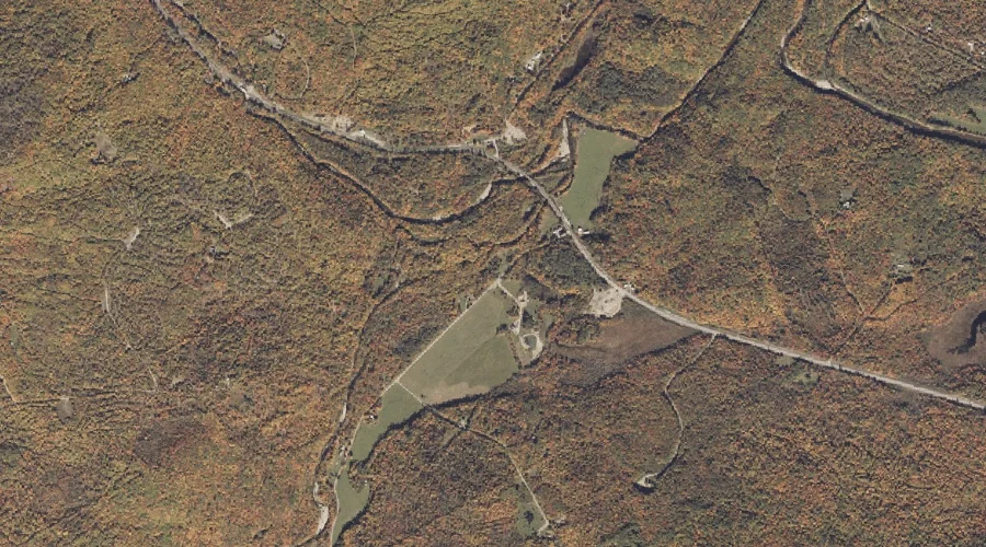
Big Brook is a stream in Carroll County, New Hampshire, located about 35.5 miles southwest of Chapman Inn in Bethel, Maine. It appears on the USGS Silver Lake…
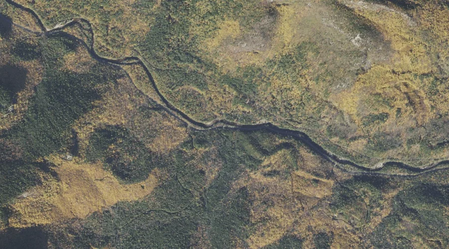
Sawyer River is a stream in Carroll County, New Hampshire, located about 35.3 miles southwest of Chapman Inn in Bethel, Maine. It appears on the USGS Bartlett topographic…
South Branch Sandy River is a stream in Franklin County, Maine, located about 35.3 miles north-northeast of Chapman Inn in Bethel, Maine. It appears on the USGS Madrid…
Stony Brook is a stream in Carroll County, New Hampshire, located about 35.3 miles southwest of Chapman Inn in Bethel, Maine. It appears on the USGS Bartlett topographic…
Hobbs Brook is a stream in Carroll County, New Hampshire, located about 35.4 miles southwest of Chapman Inn in Bethel, Maine. It appears on the USGS Silver Lake…