Tenny River is a stream in Cumberland County, Maine, located about 35.8 miles south-southeast of Chapman Inn in Bethel, Maine. It appears on the USGS Raymond topographic quadrangle.
Haskell Brook is a stream in Carroll County, New Hampshire, located about 35.8 miles southwest of Chapman Inn in Bethel, Maine. It appears on the USGS Bartlett topographic…
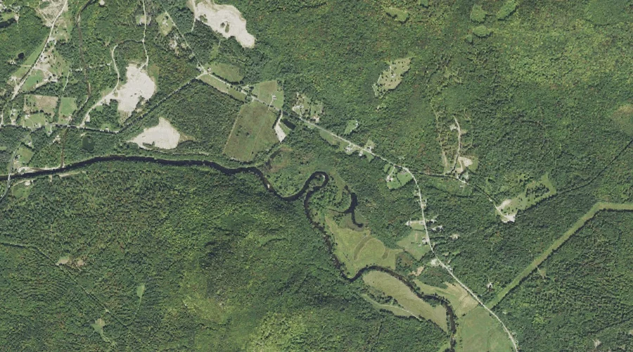
Dingley Brook is a stream in Cumberland County, Maine, located about 35.9 miles south-southeast of Chapman Inn in Bethel, Maine. It appears on the USGS Naples topographic quadrangle.
Hales Brook is a stream in Kennebec County, Maine, located about 35.9 miles east of Chapman Inn in Bethel, Maine. It appears on the USGS Wayne topographic quadrangle.
Jimmy Cole Brook is a stream in Coos County, New Hampshire, located about 35.8 miles west-northwest of Chapman Inn in Bethel, Maine. It appears on the USGS Percy…
Roaring Brook is a stream in Coos County, New Hampshire, located about 35.8 miles west-northwest of Chapman Inn in Bethel, Maine. It appears on the USGS Percy Peaks…
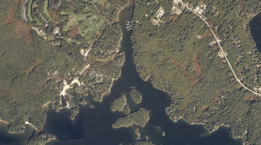
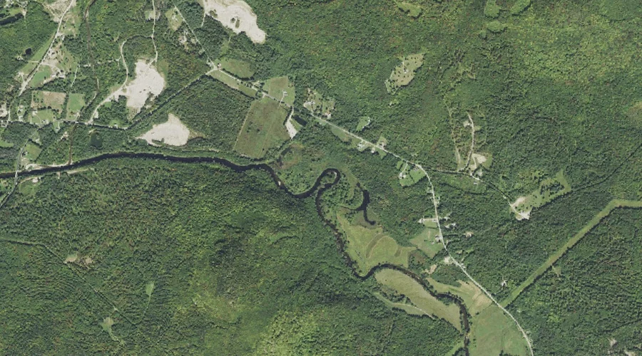
Songo River is a stream in Cumberland County, Maine, located about 35.5 miles south-southeast of Chapman Inn in Bethel, Maine. It appears on the USGS Naples topographic quadrangle.
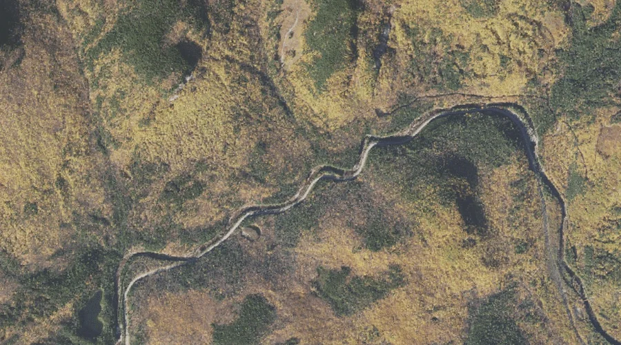
Saddleback Stream is a stream in Franklin County, Maine, located about 35.6 miles north-northeast of Chapman Inn in Bethel, Maine. It appears on the USGS Madrid topographic quadrangle.
Cummings Brook is a stream in Coos County, New Hampshire, located about 35.6 miles west-northwest of Chapman Inn in Bethel, Maine. It appears on the USGS Stark topographic…
Nubble Brook is a stream in Cumberland County, Maine, located about 35.7 miles south-southeast of Chapman Inn in Bethel, Maine. It appears on the USGS Raymond topographic quadrangle.