Bennett Brook is a stream in Coos County, New Hampshire, located about 36.4 miles north-northwest of Chapman Inn in Bethel, Maine. It appears on the USGS Wilsons Mills…
Havie Brook is a stream in Grafton County, New Hampshire, located about 36.2 miles west-southwest of Chapman Inn in Bethel, Maine. It appears on the USGS Crawford Notch…
Temple Stream is a stream in Franklin County, Maine, located about 36.1 miles east-northeast of Chapman Inn in Bethel, Maine. It appears on the USGS Farmington topographic quadrangle.
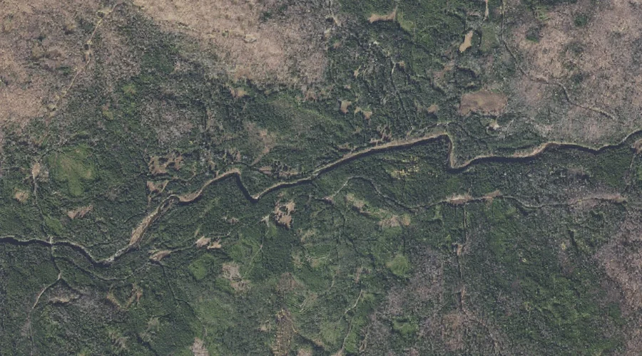
Meadow Brook is a stream in Oxford County, Maine, located about 36.1 miles north-northwest of Chapman Inn in Bethel, Maine. It appears on the USGS Wilsons Mills topographic…
Mount Tom Brook is a stream in Grafton County, New Hampshire, located about 36.1 miles west-southwest of Chapman Inn in Bethel, Maine. It appears on the USGS Crawford…
Beaver Brook is a stream in Franklin County, Maine, located about 36.1 miles east-northeast of Chapman Inn in Bethel, Maine. It appears on the USGS Farmington topographic quadrangle.
Orbeton Stream is a stream in Franklin County, Maine, located about 36.2 miles north-northeast of Chapman Inn in Bethel, Maine. It appears on the USGS Madrid topographic quadrangle.
Cream Brook is a stream in Carroll County, New Hampshire, located about 36.0 miles south-southwest of Chapman Inn in Bethel, Maine. It appears on the USGS Silver Lake…
Swift Brook is a stream in Carroll County, New Hampshire, located about 36.0 miles south-southwest of Chapman Inn in Bethel, Maine. It appears on the USGS Silver Lake…
Jimmy Cole Brook is a stream in Coos County, New Hampshire, located about 35.8 miles west-northwest of Chapman Inn in Bethel, Maine. It appears on the USGS Percy…