Israel River is a stream in Coos County, New Hampshire, located about 40.2 miles west of Chapman Inn in Bethel, Maine. It appears on the USGS Lancaster topographic…
Geneva Bog Brook is a stream in Franklin County, Maine, located about 40.2 miles north-northeast of Chapman Inn in Bethel, Maine. It appears on the USGS Saddleback Mountain…
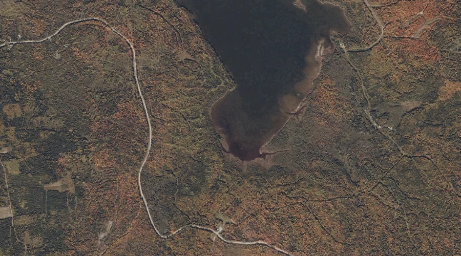
Columbia Brook is a stream in Coos County, New Hampshire, located about 40.2 miles northwest of Chapman Inn in Bethel, Maine. It appears on the USGS Bunnell Mountain…
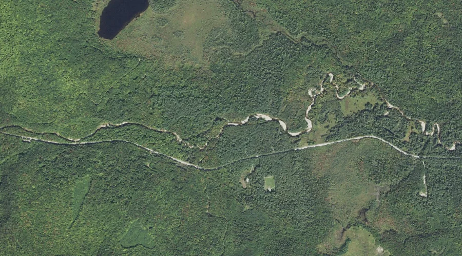
Downes Brook is a stream in Carroll County, New Hampshire, located about 40.3 miles southwest of Chapman Inn in Bethel, Maine. It appears on the USGS Mount Chocorua…
Talking Brook is a stream in Cumberland County, Maine, located about 40.3 miles southeast of Chapman Inn in Bethel, Maine. It appears on the USGS North Pownal topographic…
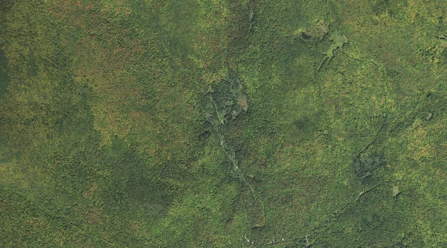
Washburn Brook is a stream in Coos County, New Hampshire, located about 40.3 miles north-northwest of Chapman Inn in Bethel, Maine. It appears on the USGS Wilsons Mills…
Intervale Brook is a stream in Kennebec County, Maine, located about 40.2 miles east of Chapman Inn in Bethel, Maine. It appears on the USGS Readfield topographic quadrangle.
Dug Hill Brook is a stream in Cumberland County, Maine, located about 40.2 miles south of Chapman Inn in Bethel, Maine. It appears on the USGS Cornish topographic…
Haystack Brook is a stream in Grafton County, New Hampshire, located about 40.2 miles west-southwest of Chapman Inn in Bethel, Maine. It appears on the USGS Twin Mountain…
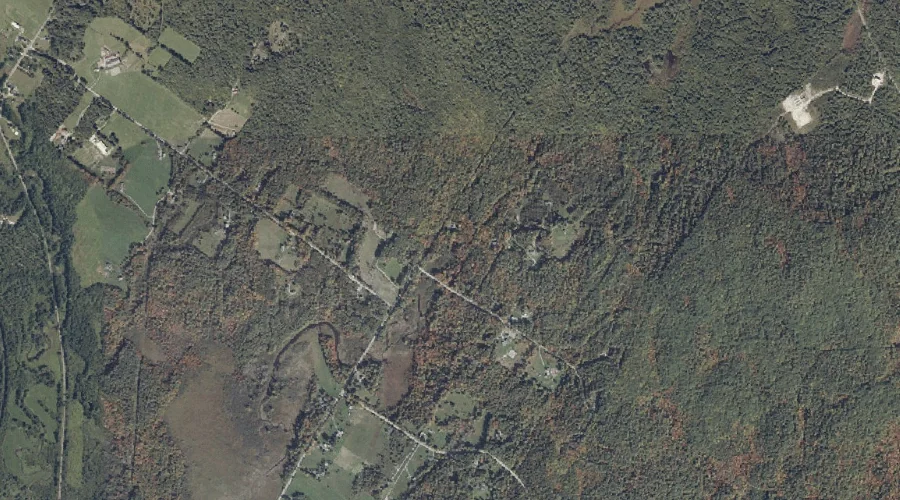
Heath Brook is a stream in Cumberland County, Maine, located about 40.1 miles south of Chapman Inn in Bethel, Maine. It appears on the USGS Steep Falls topographic…