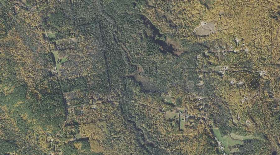
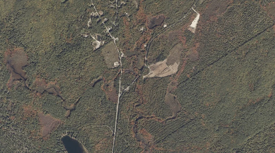
Ham Brook is a stream in Carroll County, New Hampshire, located about 40.1 miles south-southwest of Chapman Inn in Bethel, Maine. It appears on the USGS Silver Lake…
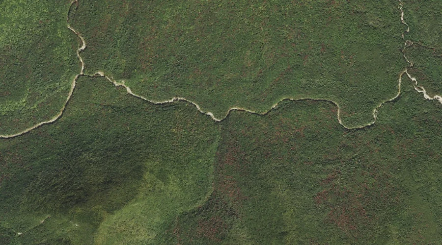
Crystal Brook is a stream in Grafton County, New Hampshire, located about 40.1 miles west-southwest of Chapman Inn in Bethel, Maine. It appears on the USGS Mount Carrigain…
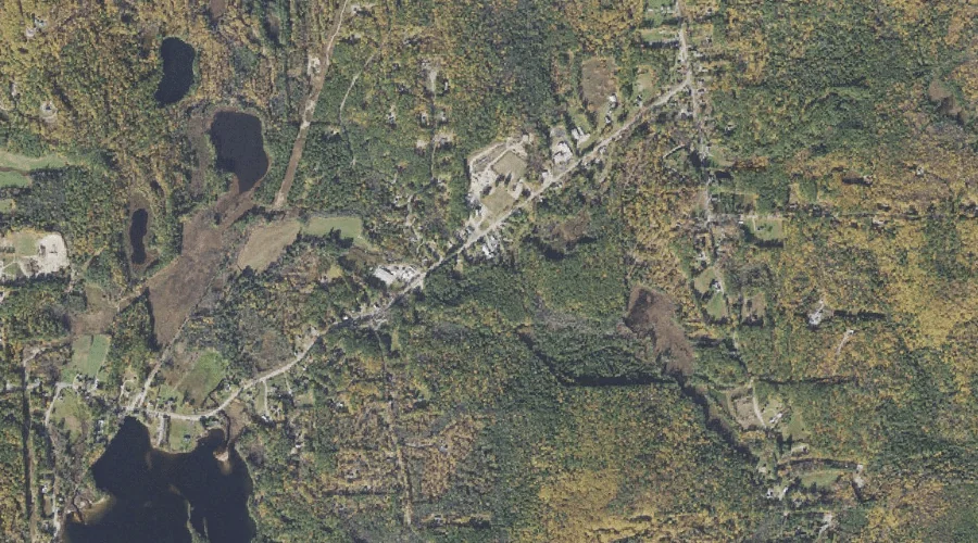
Ferrin Brook is a stream in Carroll County, New Hampshire, located about 40.1 miles south-southwest of Chapman Inn in Bethel, Maine. It appears on the USGS Freedom topographic…
Mud Mills Stream is a stream in Kennebec County, Maine, located about 40.1 miles east-southeast of Chapman Inn in Bethel, Maine. It appears on the USGS Wayne topographic…
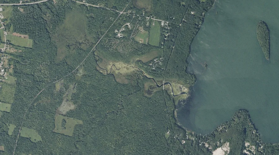
Heath Brook is a stream in Cumberland County, Maine, located about 40.1 miles south of Chapman Inn in Bethel, Maine. It appears on the USGS Steep Falls topographic…
Frost Brook is a stream in Carroll County, New Hampshire, located about 39.8 miles south-southwest of Chapman Inn in Bethel, Maine. It appears on the USGS Silver Lake…
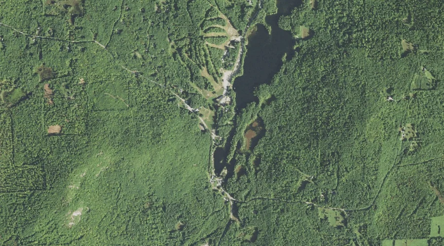
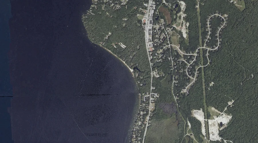
Hyde Brook is a stream in Cumberland County, Maine, located about 39.9 miles south-southeast of Chapman Inn in Bethel, Maine. It appears on the USGS Raymond topographic quadrangle.
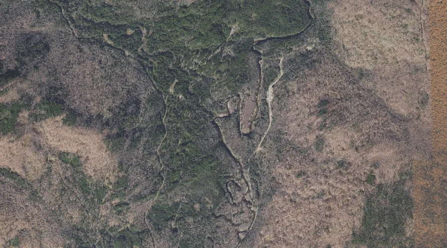
Bean Brook is a stream in Franklin County, Maine, located about 39.7 miles northeast of Chapman Inn in Bethel, Maine. It appears on the USGS Strong topographic quadrangle.
Lamb Valley Brook is a stream in Coos County, New Hampshire, located about 39.7 miles north-northwest of Chapman Inn in Bethel, Maine. It appears on the USGS Wilsons…
Salter Brook is a stream in Carroll County, New Hampshire, located about 39.7 miles south-southwest of Chapman Inn in Bethel, Maine. It appears on the USGS Silver Lake…