Wilson Stream is a stream in Kennebec County, Maine, located about 40.6 miles east-southeast of Chapman Inn in Bethel, Maine. It appears on the USGS Winthrop topographic quadrangle.
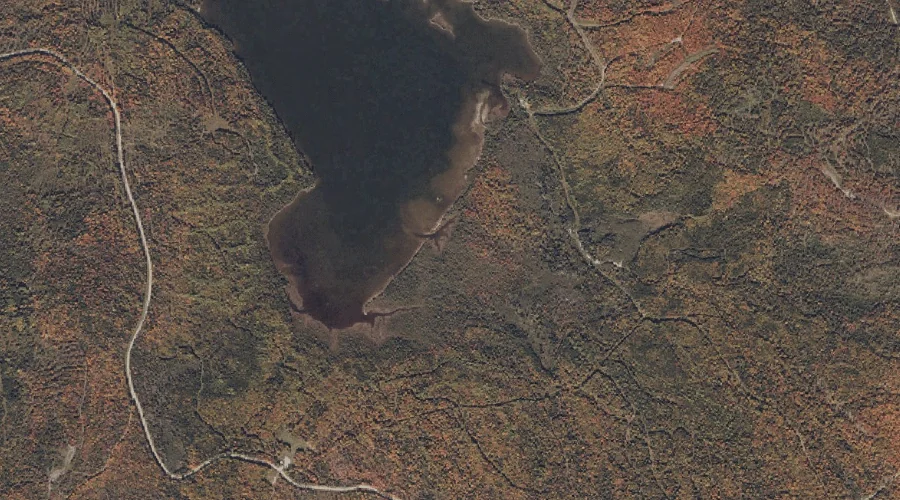
Rock Pond Stream is a stream in Franklin County, Maine, located about 40.4 miles north-northeast of Chapman Inn in Bethel, Maine. It appears on the USGS Saddleback Mountain…
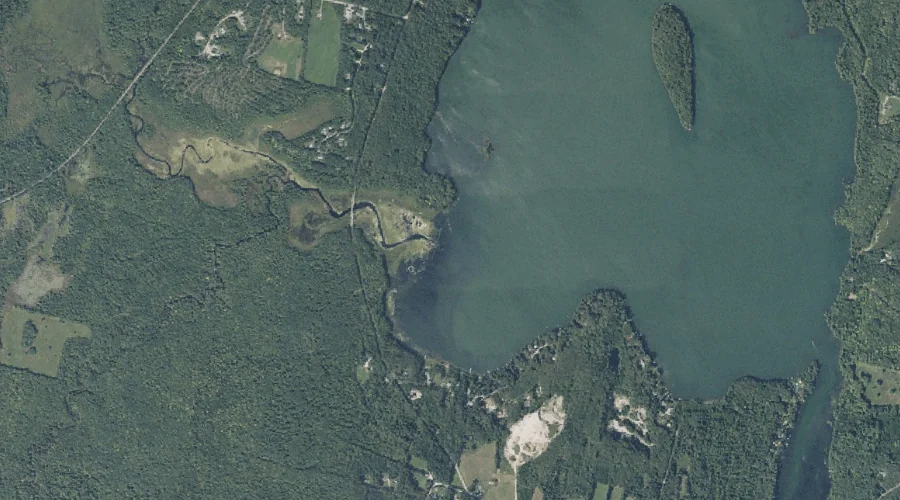
Meadow Brook is a stream in Cumberland County, Maine, located about 40.4 miles southeast of Chapman Inn in Bethel, Maine. It appears on the USGS Gray topographic quadrangle.
Kennebago River is a stream in Franklin County, Maine, located about 40.4 miles north of Chapman Inn in Bethel, Maine. It appears on the USGS Oquossoc topographic quadrangle.
Whetstone Brook is a stream in Franklin County, Maine, located about 40.4 miles north of Chapman Inn in Bethel, Maine. It appears on the USGS Oquossoc topographic quadrangle.
Hardy Stream is a stream in Franklin County, Maine, located about 40.3 miles north-northeast of Chapman Inn in Bethel, Maine. It appears on the USGS Redington topographic quadrangle.
Nathan Pond Brook is a stream in Coos County, New Hampshire, located about 40.3 miles north-northwest of Chapman Inn in Bethel, Maine. It appears on the USGS Mount…
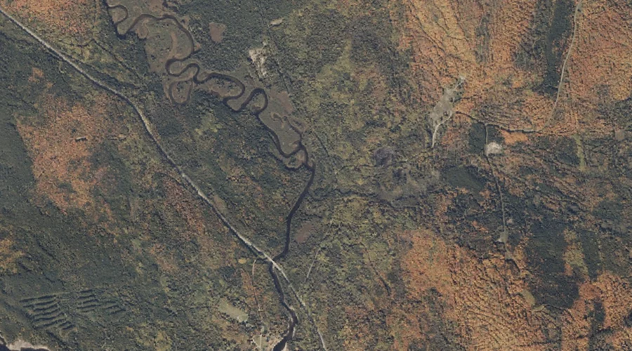
Barney Brook is a stream in Oxford County, Maine, located about 40.4 miles north-northwest of Chapman Inn in Bethel, Maine. It appears on the USGS Richardson Pond topographic…
Stevens Brook is a stream in Cumberland County, Maine, located about 40.2 miles southeast of Chapman Inn in Bethel, Maine. It appears on the USGS Gray topographic quadrangle.
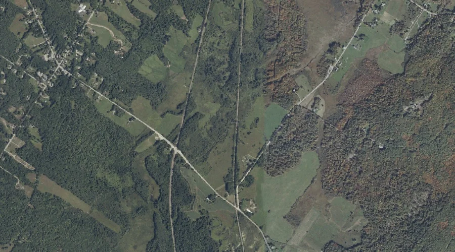
Bragdon Brook is a stream in Franklin County, Maine, located about 40.2 miles east-northeast of Chapman Inn in Bethel, Maine. It appears on the USGS New Sharon topographic…