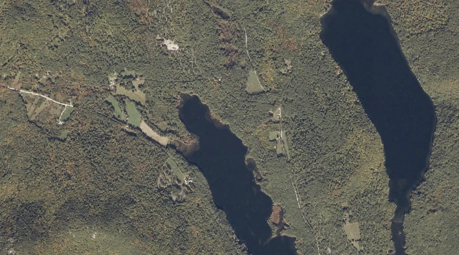
Thurston Brook is a stream in Oxford County, Maine, located about 39.8 miles south-southwest of Chapman Inn in Bethel, Maine. It appears on the USGS Kezar Falls topographic…
Little River is a stream in Coos County, New Hampshire, located about 39.8 miles west-southwest of Chapman Inn in Bethel, Maine. It appears on the USGS Twin Mountain…
Sanderson Brook is a stream in Oxford County, Maine, located about 39.8 miles north-northwest of Chapman Inn in Bethel, Maine. It appears on the USGS Wilsons Mills topographic…
Quimby Brook is a stream in Franklin County, Maine, located about 39.6 miles north of Chapman Inn in Bethel, Maine. It appears on the USGS Rangeley topographic quadrangle.
Number Three Brook (historical) is a stream in Coos County, New Hampshire, located about 39.7 miles northwest of Chapman Inn in Bethel, Maine. It appears on the USGS…
Johnson Brook is a stream in Coos County, New Hampshire, located about 39.7 miles northwest of Chapman Inn in Bethel, Maine. It appears on the USGS Bunnell Mountain…
Doctor Brook is a stream in Franklin County, Maine, located about 39.7 miles northeast of Chapman Inn in Bethel, Maine. It appears on the USGS Strong topographic quadrangle.
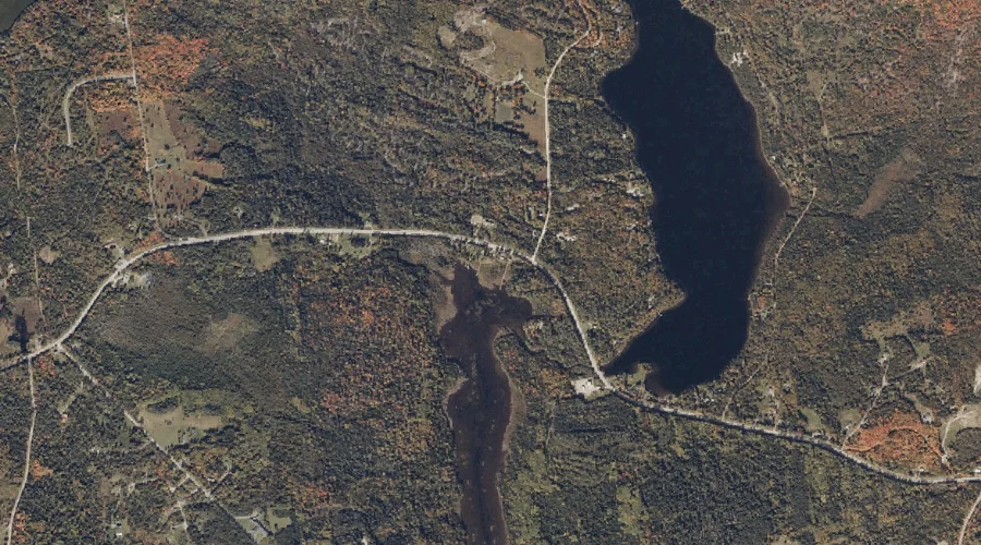
White Brook is a stream in Carroll County, New Hampshire, located about 39.6 miles southwest of Chapman Inn in Bethel, Maine. It appears on the USGS Mount Chocorua…
Perham Stream is a stream in Franklin County, Maine, located about 39.6 miles north-northeast of Chapman Inn in Bethel, Maine. It appears on the USGS Redington topographic quadrangle.
Pond Brook is a stream in Carroll County, New Hampshire, located about 39.6 miles southwest of Chapman Inn in Bethel, Maine. It appears on the USGS Bartlett topographic…