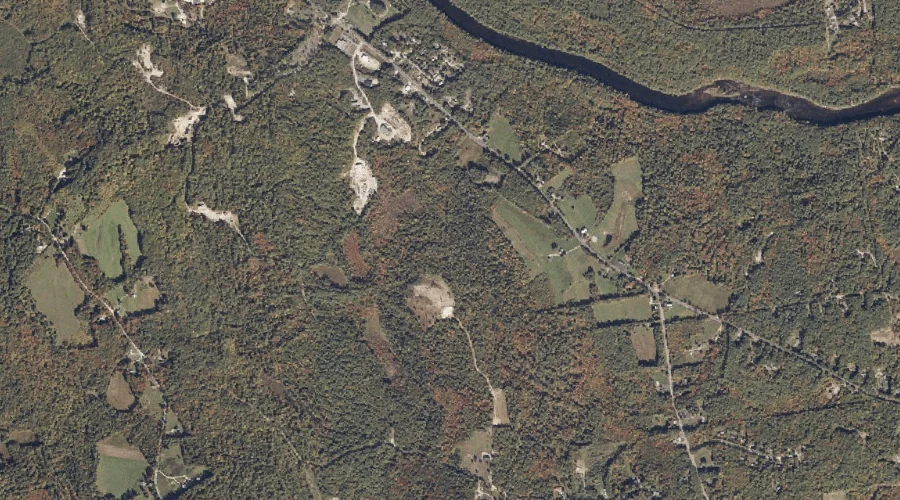
Great Brook is a stream in York County, Maine, located about 43.0 miles south of Chapman Inn in Bethel, Maine. It appears on the USGS Kezar Falls topographic…
Twin Brook is a stream in Grafton County, New Hampshire, located about 43.0 miles west-southwest of Chapman Inn in Bethel, Maine. It appears on the USGS South Twin…
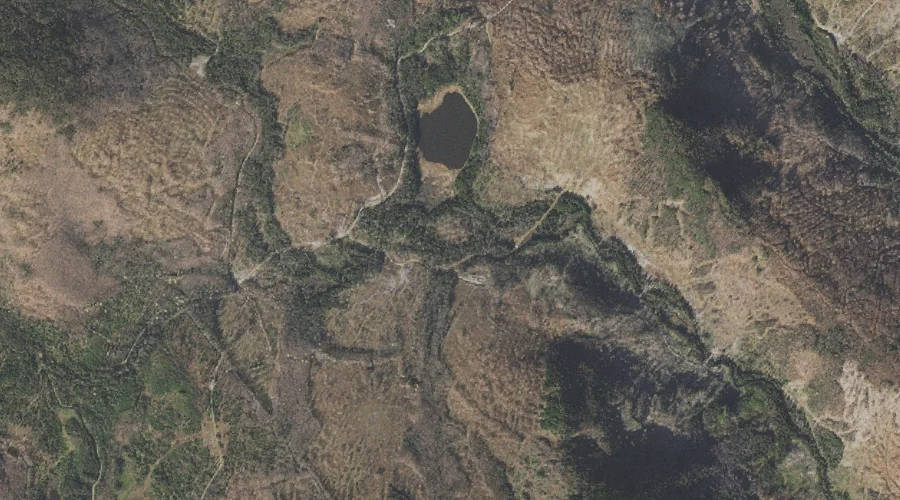
Uran Brook is a stream in Coos County, New Hampshire, located about 43.0 miles northwest of Chapman Inn in Bethel, Maine. It appears on the USGS Bunnell Mountain…
Black Brook is a stream in Grafton County, New Hampshire, located about 43.0 miles west of Chapman Inn in Bethel, Maine. It appears on the USGS Bethlehem topographic…
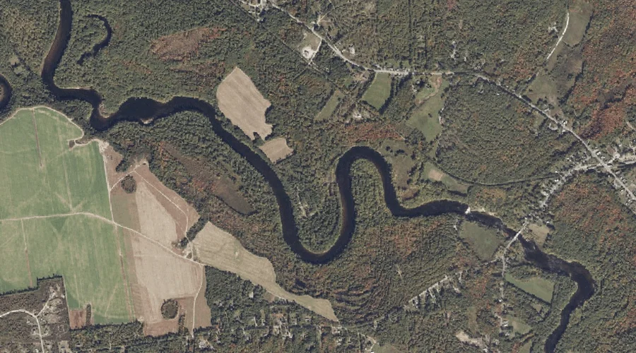
Merrifield Brook is a stream in York County, Maine, located about 43.0 miles south of Chapman Inn in Bethel, Maine. It appears on the USGS Cornish topographic quadrangle.
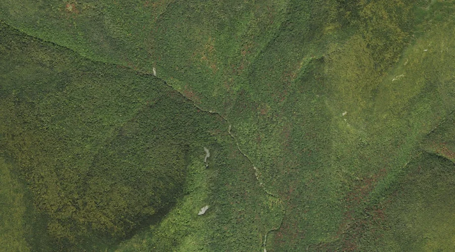
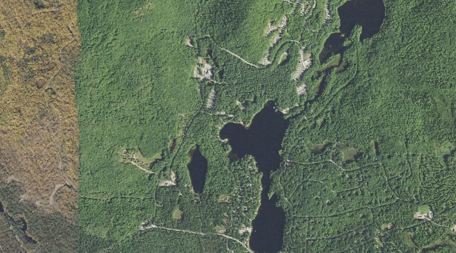
Sugar Hill Brook is a stream in Coos County, New Hampshire, located about 42.8 miles northwest of Chapman Inn in Bethel, Maine. It appears on the USGS Diamond…
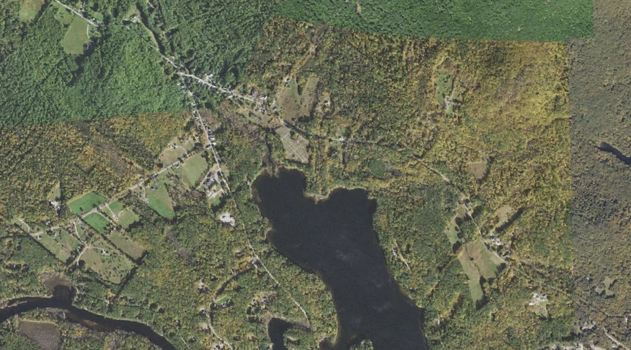
Bennett Brook is a stream in Carroll County, New Hampshire, located about 42.9 miles south-southwest of Chapman Inn in Bethel, Maine. It appears on the USGS Freedom topographic…
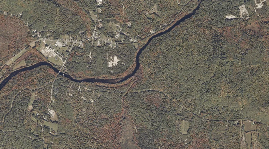
Shawtown Brook is a stream in Carroll County, New Hampshire, located about 42.9 miles south-southwest of Chapman Inn in Bethel, Maine. It appears on the USGS Freedom topographic…
Quaker Brook is a stream in Cumberland County, Maine, located about 42.7 miles south of Chapman Inn in Bethel, Maine. It appears on the USGS Steep Falls topographic…
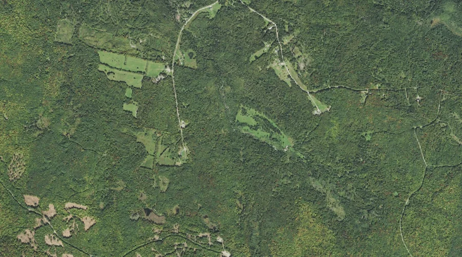
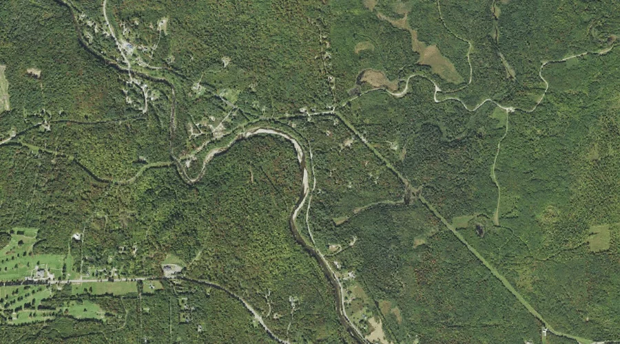
Little Dead Diamond River is a stream in Coos County, New Hampshire, located about 42.7 miles north-northwest of Chapman Inn in Bethel, Maine. It appears on the USGS…