Androscoggin River Reservoir is a reservoir in Androscoggin County, Maine, located about 34.5 miles east-southeast of Chapman Inn in Bethel, Maine. It appears on the USGS Lake Auburn…
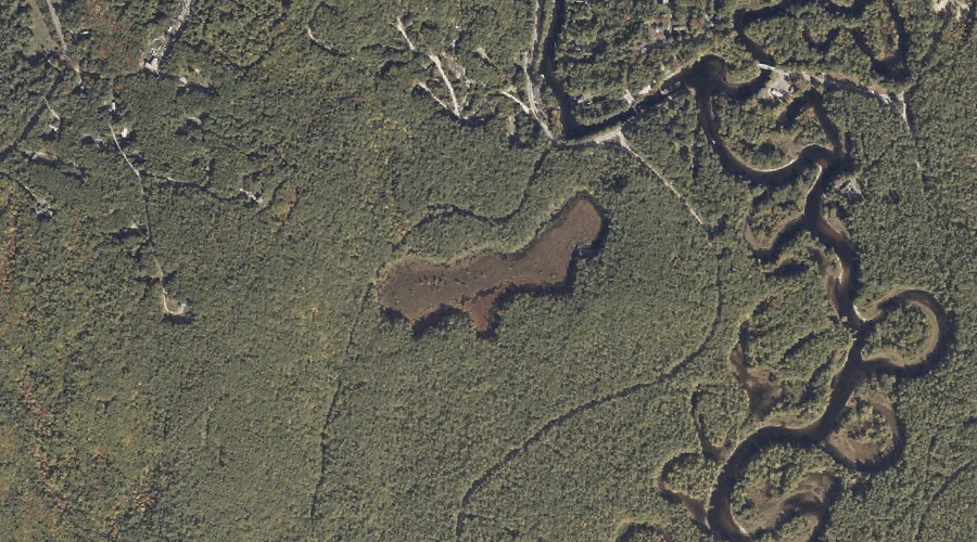
Taylor Brook is a reservoir in Androscoggin County, Maine, located about 34.7 miles southeast of Chapman Inn in Bethel, Maine. It appears on the USGS Minot topographic quadrangle.
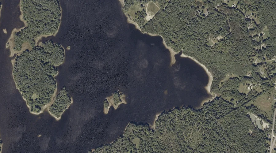
Mooselookmeguntic Lake is a reservoir in Oxford County, Maine, located about 34.4 miles north of Chapman Inn in Bethel, Maine. It appears on the USGS Oquossoc topographic quadrangle.
Bay of Naples is a reservoir in Cumberland County, Maine, located about 34.5 miles south-southeast of Chapman Inn in Bethel, Maine. It appears on the USGS Naples topographic…
Pequawket Pond is a reservoir in Carroll County, New Hampshire, located about 34.5 miles south-southwest of Chapman Inn in Bethel, Maine. It appears on the USGS Silver Lake…
Burnt Meadow Pond is a reservoir in Oxford County, Maine, located about 33.5 miles south of Chapman Inn in Bethel, Maine. It appears on the USGS Brownfield topographic…
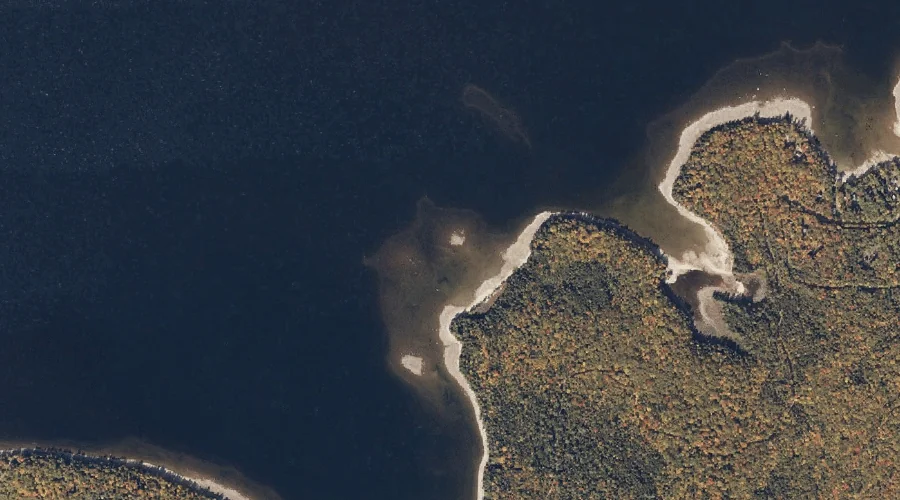
Gulf Island Pond is a reservoir in Androscoggin County, Maine, located about 33.6 miles east-southeast of Chapman Inn in Bethel, Maine. It appears on the USGS Lake Auburn…
Conway Lake is a reservoir in Carroll County, New Hampshire, located about 33.4 miles south-southwest of Chapman Inn in Bethel, Maine. It appears on the USGS Conway topographic…
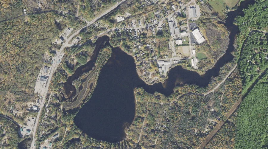
Lake Auburn is a reservoir in Androscoggin County, Maine, located about 33.1 miles east-southeast of Chapman Inn in Bethel, Maine. It appears on the USGS Lake Auburn East…
Akers Pond is a reservoir in Coos County, New Hampshire, located about 32.9 miles north-northwest of Chapman Inn in Bethel, Maine. It appears on the USGS Errol topographic…