Wilson Pond is a reservoir in Kennebec County, Maine, located about 38.0 miles east-southeast of Chapman Inn in Bethel, Maine. It appears on the USGS Wayne topographic quadrangle.
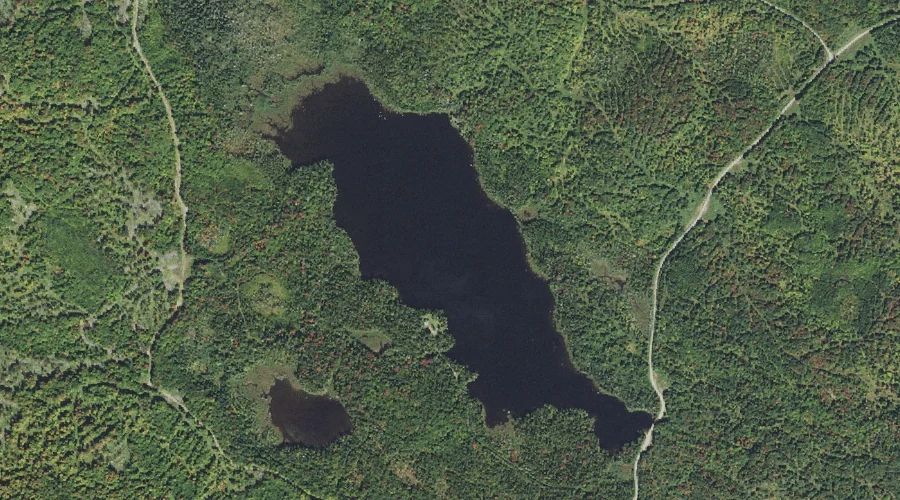
Rangeley Lake is a reservoir in Franklin County, Maine, located about 37.6 miles north of Chapman Inn in Bethel, Maine. It appears on the USGS Rangeley topographic quadrangle.
Lovejoy Pond is a reservoir in Kennebec County, Maine, located about 37.7 miles east of Chapman Inn in Bethel, Maine. It appears on the USGS Fayette topographic quadrangle.
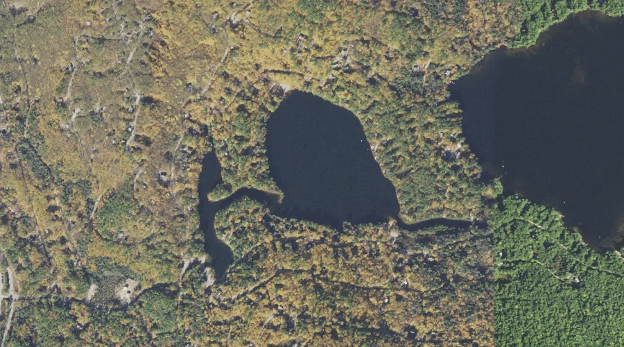
City Pond is a reservoir in Franklin County, Maine, located about 37.4 miles north-northeast of Chapman Inn in Bethel, Maine. It appears on the USGS Saddleback Mountain topographic…
Royal River Reservoir is a reservoir in Cumberland County, Maine, located about 37.3 miles southeast of Chapman Inn in Bethel, Maine. It appears on the USGS Gray topographic…
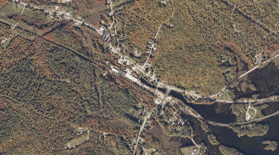
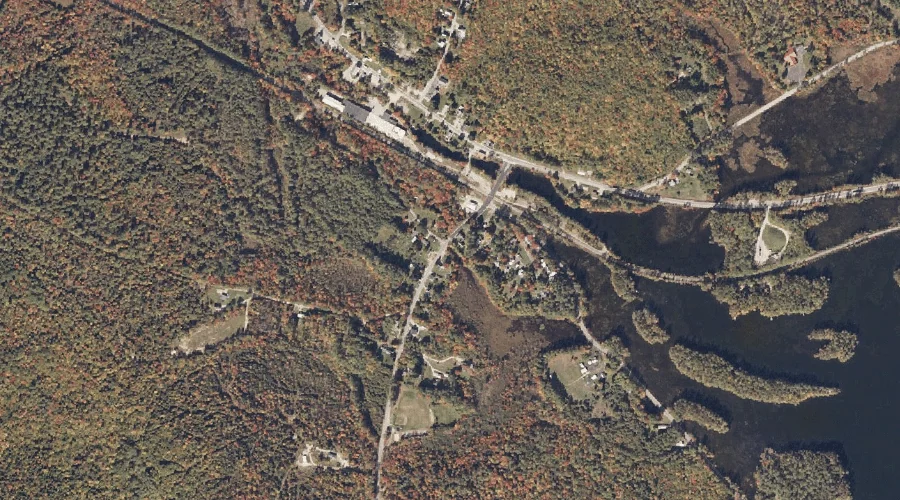
Phillips Pond is a reservoir in Coos County, New Hampshire, located about 37.1 miles northwest of Chapman Inn in Bethel, Maine. It appears on the USGS Dixville Notch…
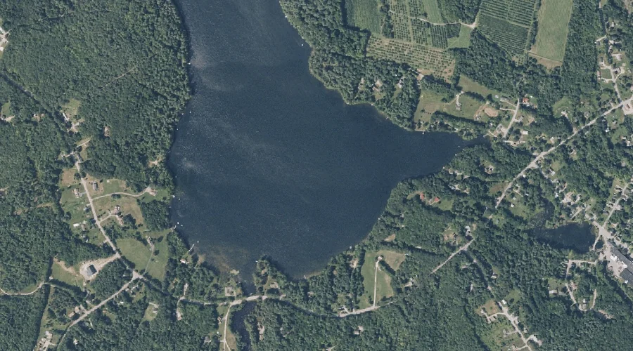
Panther Pond is a reservoir in Cumberland County, Maine, located about 36.7 miles south-southeast of Chapman Inn in Bethel, Maine. It appears on the USGS Raymond topographic quadrangle.
Little Pea Porridge Pond is a reservoir in Carroll County, New Hampshire, located about 36.4 miles south-southwest of Chapman Inn in Bethel, Maine. It appears on the USGS…
Thomas Pond is a reservoir in Cumberland County, Maine, located about 36.2 miles south-southeast of Chapman Inn in Bethel, Maine. It appears on the USGS Naples topographic quadrangle.
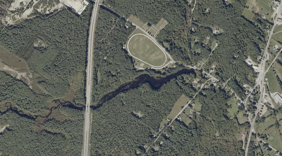
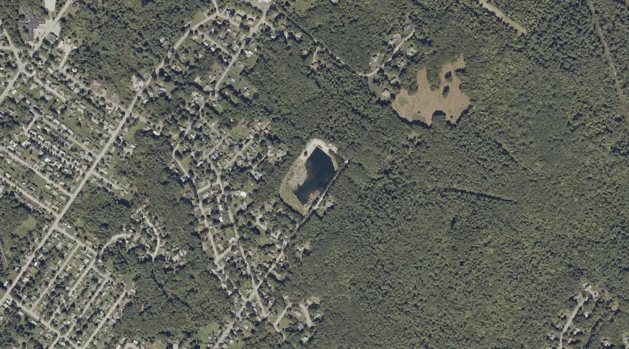
Montello Heights Reservoir is a reservoir in Androscoggin County, Maine, located about 36.1 miles east-southeast of Chapman Inn in Bethel, Maine. It appears on the USGS Lewiston topographic…