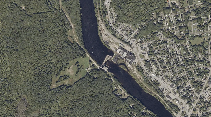
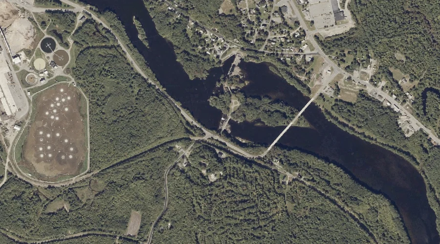
Androscoggin River Reservoir is a reservoir in Franklin County, Maine, located about 29.5 miles east of Chapman Inn in Bethel, Maine. It appears on the USGS Livermore Falls…
Androscoggin River Reservoir is a reservoir in Franklin County, Maine, located about 28.7 miles east-northeast of Chapman Inn in Bethel, Maine. It appears on the USGS Wilton topographic…
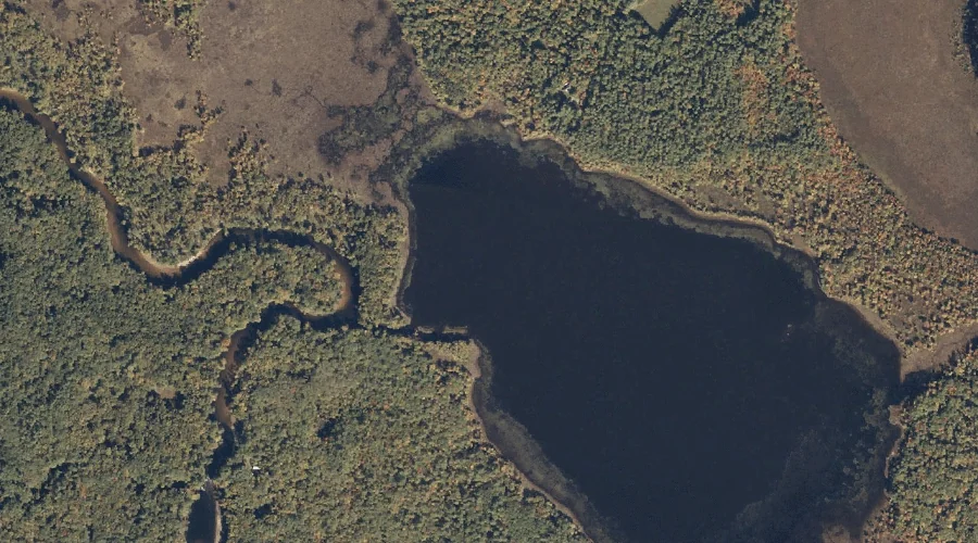
Wards Pond is a reservoir in Oxford County, Maine, located about 28.7 miles south-southwest of Chapman Inn in Bethel, Maine. It appears on the USGS Fryeburg topographic quadrangle.
Pleasant Pond is a reservoir in Androscoggin County, Maine, located about 28.4 miles east-southeast of Chapman Inn in Bethel, Maine. It appears on the USGS Turner Center topographic…
Adams Pond is a reservoir in Cumberland County, Maine, located about 28.6 miles south of Chapman Inn in Bethel, Maine. It appears on the USGS North Sebago topographic…
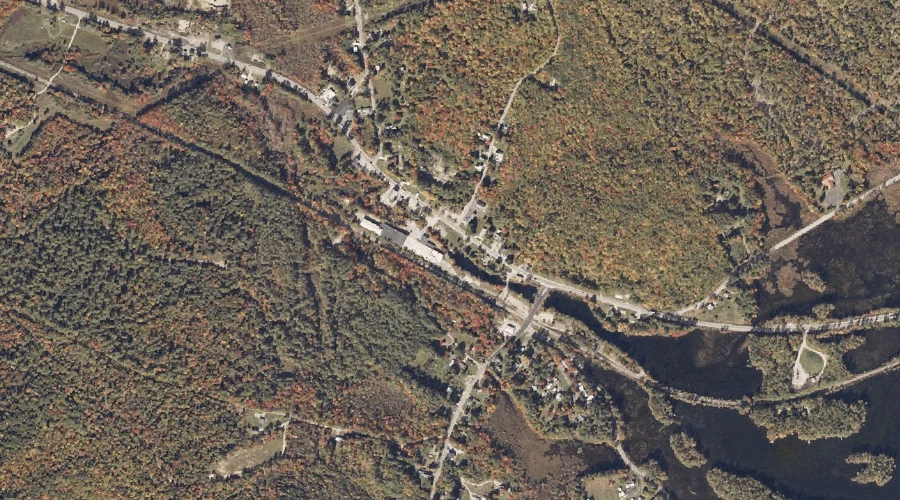
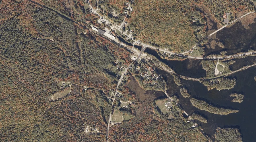
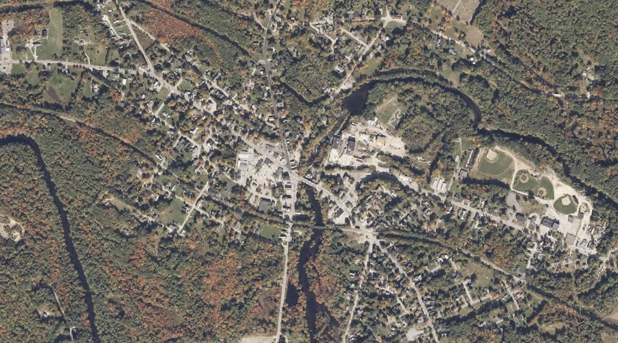
Little Androscoggin River Reservoir is a reservoir in Androscoggin County, Maine, located about 28.3 miles southeast of Chapman Inn in Bethel, Maine. It appears on the USGS Mechanic…
Nezinscot River Reservoir (historical) is a reservoir in Androscoggin County, Maine, located about 28.3 miles east-southeast of Chapman Inn in Bethel, Maine. It appears on the USGS Buckfield…
York Pond is a reservoir in Coos County, New Hampshire, located about 27.9 miles west-northwest of Chapman Inn in Bethel, Maine. It appears on the USGS West Milan…
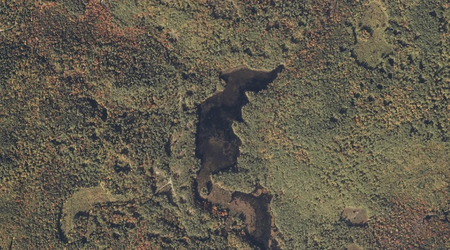
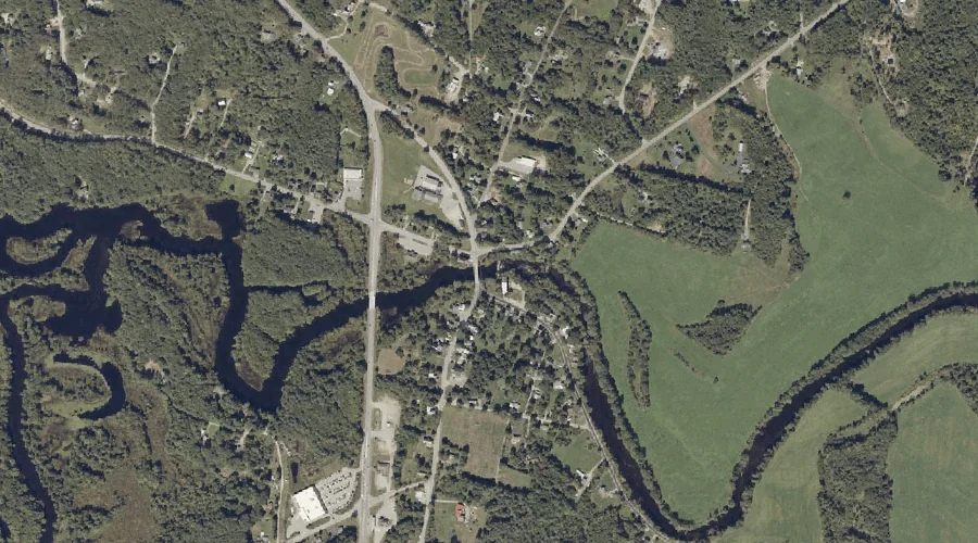
Mill Pond is a reservoir in Oxford County, Maine, located about 28.0 miles south of Chapman Inn in Bethel, Maine. It appears on the USGS Fryeburg topographic quadrangle.
Ellis River Reservoir is a reservoir in Carroll County, New Hampshire, located about 27.4 miles southwest of Chapman Inn in Bethel, Maine. It appears on the USGS Jackson…