Papoose Island is a island in Cumberland County, Maine, located about 41.0 miles south-southeast of Chapman Inn in Bethel, Maine. It appears on the USGS North Windham topographic…
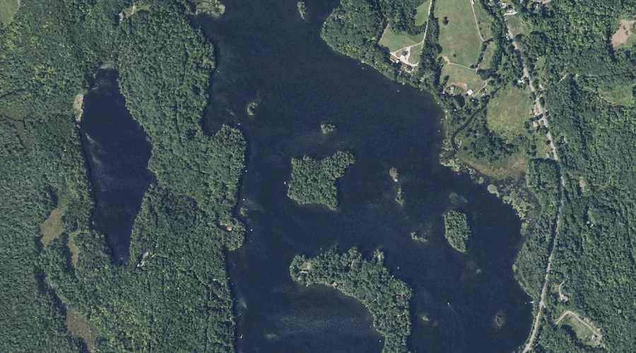
Big Island is a island in Carroll County, New Hampshire, located about 40.8 miles south-southwest of Chapman Inn in Bethel, Maine. It appears on the USGS Silver Lake…
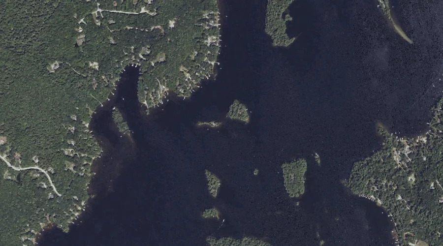
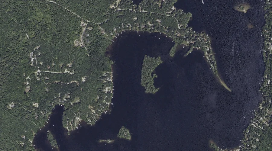
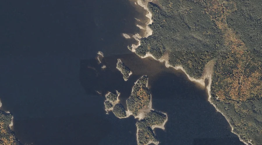
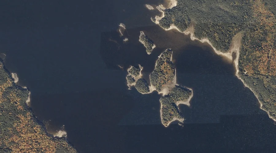
Martin Island is a island in Cumberland County, Maine, located about 40.7 miles south-southeast of Chapman Inn in Bethel, Maine. It appears on the USGS Raymond topographic quadrangle.
Bean Island is a island in Cumberland County, Maine, located about 40.5 miles south-southeast of Chapman Inn in Bethel, Maine. It appears on the USGS Raymond topographic quadrangle.
Spider Island is a island in Cumberland County, Maine, located about 40.4 miles south-southeast of Chapman Inn in Bethel, Maine. It appears on the USGS Raymond topographic quadrangle.
John J Island is a island in Oxford County, Maine, located about 40.5 miles south-southwest of Chapman Inn in Bethel, Maine. It appears on the USGS Kezar Falls…
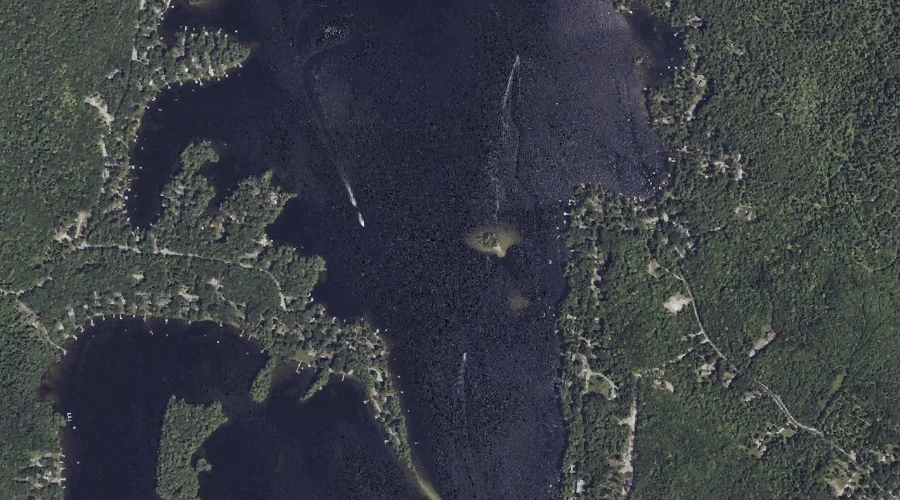
Blueberry Island is a island in Oxford County, Maine, located about 40.2 miles north of Chapman Inn in Bethel, Maine. It appears on the USGS Oquossoc topographic quadrangle.
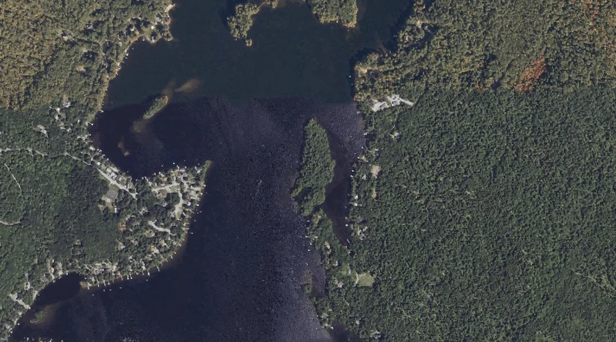
Big Island is a island in Kennebec County, Maine, located about 40.2 miles east-northeast of Chapman Inn in Bethel, Maine. It appears on the USGS Belgrade Lakes topographic…
Browns Island is a island in Oxford County, Maine, located about 40.1 miles north of Chapman Inn in Bethel, Maine. It appears on the USGS Oquossoc topographic quadrangle.
Grape Island is a island in Cumberland County, Maine, located about 39.9 miles south-southeast of Chapman Inn in Bethel, Maine. It appears on the USGS Raymond topographic quadrangle.