Indian Rock is a island in Franklin County, Maine, located about 39.6 miles north of Chapman Inn in Bethel, Maine. It appears on the USGS Oquossoc topographic quadrangle.
Rookies Island is a island in Cumberland County, Maine, located about 38.4 miles south-southeast of Chapman Inn in Bethel, Maine. It appears on the USGS Naples topographic quadrangle.
Blueberry Island is a island in Cumberland County, Maine, located about 38.5 miles south-southeast of Chapman Inn in Bethel, Maine. It appears on the USGS Naples topographic quadrangle.
Battleship Island is a island in Cumberland County, Maine, located about 37.9 miles south-southeast of Chapman Inn in Bethel, Maine. It appears on the USGS Naples topographic quadrangle.
Birch Island is a island in Kennebec County, Maine, located about 37.9 miles east of Chapman Inn in Bethel, Maine. It appears on the USGS Fayette topographic quadrangle.
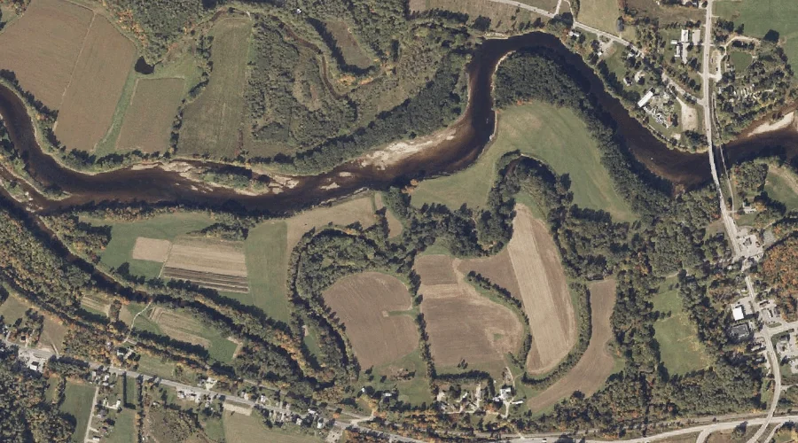
Gooseneck Island is a island in Kennebec County, Maine, located about 37.7 miles east of Chapman Inn in Bethel, Maine. It appears on the USGS Fayette topographic quadrangle.
Maneskootuk Island is a island in Franklin County, Maine, located about 37.7 miles north of Chapman Inn in Bethel, Maine. It appears on the USGS Rangeley topographic quadrangle.
Griffin Island is a island in Oxford County, Maine, located about 37.6 miles north of Chapman Inn in Bethel, Maine. It appears on the USGS Oquossoc topographic quadrangle.
Millstone Island is a island in Cumberland County, Maine, located about 37.5 miles south-southeast of Chapman Inn in Bethel, Maine. It appears on the USGS Naples topographic quadrangle.
Spruce Island is a island in Kennebec County, Maine, located about 37.5 miles east of Chapman Inn in Bethel, Maine. It appears on the USGS Fayette topographic quadrangle.