 Aerial imagery: USGS National Map (public domain)
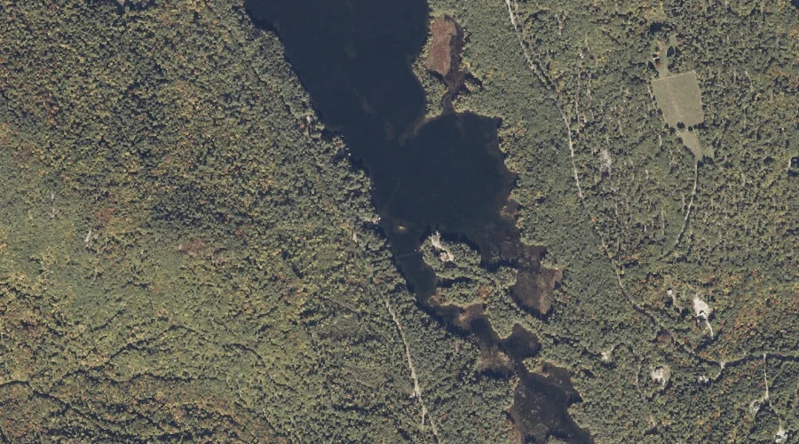
John J Island — Islands 40.5 Miles SSW of Chapman Inn
Oxford County, Maine · USGS Kezar Falls Quadrangle · GNIS 578860
Catalogued on the USGS Kezar Falls quadrangle in Oxford County, Maine, John J Island — a island — lies 40.5 miles south-southwest of Chapman Inn.
Wikidata short description: “island in Oxford County, Maine, United States of America”
Landmark Profile
Classification & USGS reference
Catalogued under GNIS Feature ID 578860, John J Island is recorded as a island on the USGS Kezar Falls quadrangle in Oxford County, Maine (FIPS 23/017). Catalogued in GNIS since 04/01/1989.
Coordinates & physical setting
John J Island sits at 43.83396° N, 70.97034° W (DMS 43°50′02″ N, 70°58′13″ W).
Other islands in Oxford County, Maine
Oxford County, ME contains 44 islands catalogued in the USGS Geographic Names Information System, counting John J Island itself. The ones closest to John J Island:
| Feature | USGS Quadrangle | Distance |
|---|---|---|
| Pine Island | Brownfield | 11.7 mi |
| Walker Island | Fryeburg | 12.3 mi |
| Loon Island | Fryeburg | 12.5 mi |
| Wood Island | Pleasant Mountain | 14.3 mi |
| Loon Island | Fryeburg | 17.9 mi |
| Timber Island | Center Lovell | 24.5 mi |
| Crescent Island | Mechanic Falls | 27.8 mi |
| Wacipi Island | Mechanic Falls | 27.8 mi |
| Rattlesnake Island | Center Lovell | 27.8 mi |
| Squirrel Island | Mechanic Falls | 27.9 mi |
Features on the USGS Kezar Falls Quadrangle
The Kezar Falls 7.5-minute topographic quadrangle holds 32 catalogued natural features alongside John J Island. A sampling nearest to this location:
| Feature | Type | County | Offset |
|---|---|---|---|
| Bickford Pond | Reservoirs | Oxford County, ME | 0.3 mi |
| Thurston Brook | Streams | Oxford County, ME | 0.8 mi |
| Colcord Pond | Reservoirs | Oxford County, ME | 1.1 mi |
| Hubbard Pond | Lakes | Oxford County, ME | 1.2 mi |
| Moulton Ridge | Ridges | Oxford County, ME | 1.6 mi |
| Chalk Pond | Lakes | Oxford County, ME | 1.7 mi |
| Mine Pond | Lakes | Oxford County, ME | 1.8 mi |
| Stacy Hill | Summits | Oxford County, ME | 2.3 mi |
| Plain Pond | Lakes | Oxford County, ME | 2.3 mi |
| Devils Den | Summits | Oxford County, ME | 2.4 mi |
Historical record
The U.S. Board on Geographic Names recorded a Official (Board Decision) on January 1, 1986 for this name.
Visiting from Chapman Inn
Distance, bearing & drive time
A 69-minute drive along back roads separates the front door of Chapman Inn from John J Island — 40.5 miles south-southwest as the crow flies, on compass bearing SSW.
Best time to visit
Late May through early October, when the water is safe for small-boat access. At this latitude (43.834°), the shoulder seasons are workable — April and November can be comfortable on mild years. At 40.5 miles from the Inn, block the full day — sunrise start, late return, packed meals. Conditions at John J Island track the nearby Bickford Pond reservoir (0.3 mi away) closely — if that is runnable, so is this.
Nearest features to John J Island
| Feature | Type | County | Distance |
|---|---|---|---|
| Bickford Pond | Reservoirs | Oxford County, ME | 0.3 mi |
| Thurston Brook | Streams | Oxford County, ME | 0.8 mi |
| Colcord Pond | Reservoirs | Oxford County, ME | 1.1 mi |
| Hubbard Pond | Lakes | Oxford County, ME | 1.2 mi |
| Moulton Ridge | Ridges | Oxford County, ME | 1.6 mi |
Frequently Asked Questions
Where is John J Island located?
John J Island is in Oxford County, Maine, approximately 40.5 miles south-southwest of Chapman Inn in Bethel, Maine. It appears on the USGS Kezar Falls topographic quadrangle.
How far is John J Island from Chapman Inn?
The drive runs about 69 minutes, 40.5 miles south-southwest (bearing SSW) of the Inn.
What type of natural feature is John J Island?
The U.S. Geological Survey classifies John J Island as a island, catalogued under GNIS Feature ID 578860 on the Kezar Falls quadrangle.
When is the best time to visit John J Island?
Late May through early October, when the water is safe for small-boat access.
How many other islands are in Oxford County, Maine?
GNIS lists 43 other islands in Oxford County, Maine.
Wikidata: Q49644632.