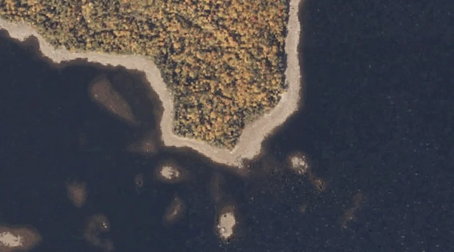
Bonney Point is a cape in Franklin County, Maine, located about 38.0 miles north of Chapman Inn in Bethel, Maine. It appears on the USGS Rangeley topographic quadrangle.
Haines Point is a cape in Franklin County, Maine, located about 37.5 miles north of Chapman Inn in Bethel, Maine. It appears on the USGS Rangeley topographic quadrangle.
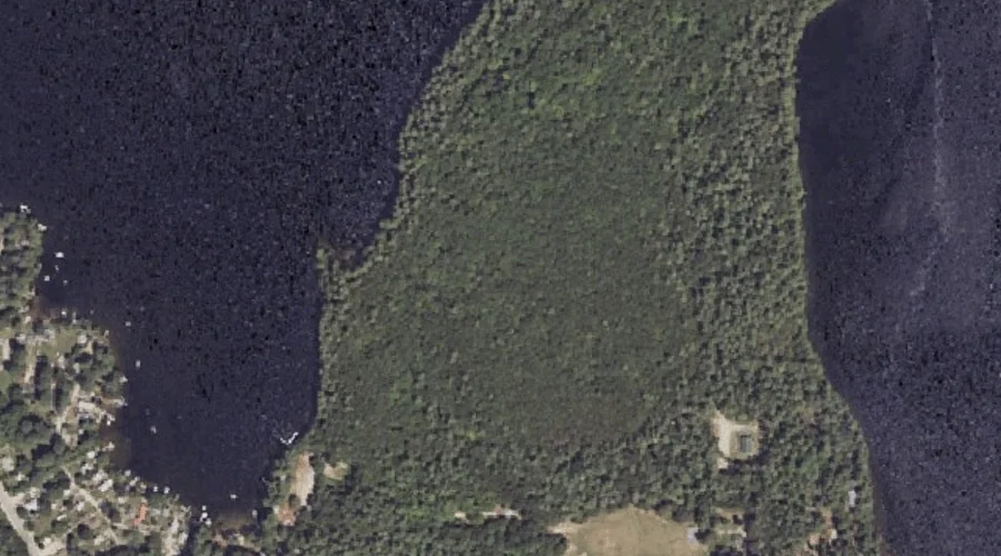
Stony Batter Point is a cape in Oxford County, Maine, located about 37.6 miles north of Chapman Inn in Bethel, Maine. It appears on the USGS Oquossoc topographic…
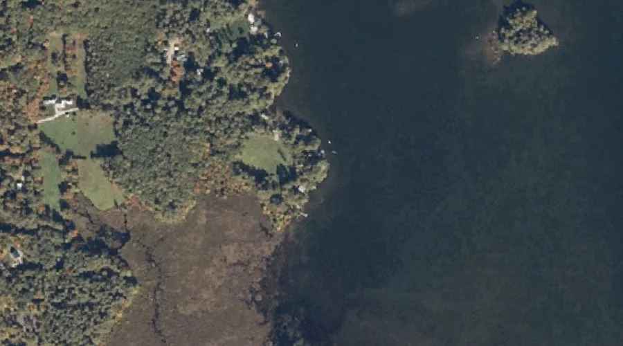
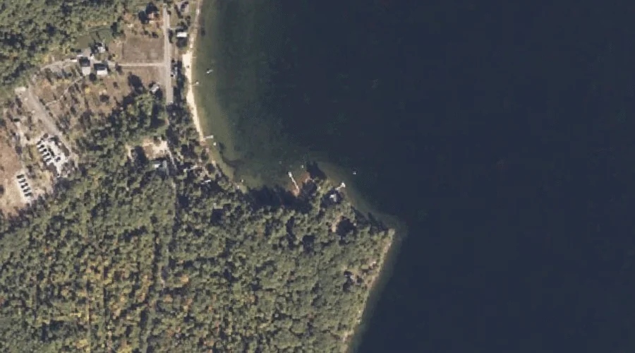
Bettys Neck is a cape in Cumberland County, Maine, located about 37.1 miles south-southeast of Chapman Inn in Bethel, Maine. It appears on the USGS Raymond topographic quadrangle.
Sanborns Point is a cape in Cumberland County, Maine, located about 37.1 miles south-southeast of Chapman Inn in Bethel, Maine. It appears on the USGS North Sebago topographic…
Cox Point is a cape in Cumberland County, Maine, located about 36.5 miles south-southeast of Chapman Inn in Bethel, Maine. It appears on the USGS North Sebago topographic…
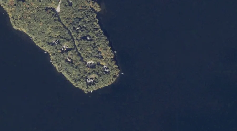
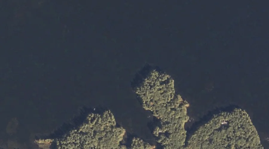
Kelseys Point is a cape in Cumberland County, Maine, located about 36.4 miles south-southeast of Chapman Inn in Bethel, Maine. It appears on the USGS Naples topographic quadrangle.
Wards Point is a cape in Cumberland County, Maine, located about 36.2 miles south-southeast of Chapman Inn in Bethel, Maine. It appears on the USGS Naples topographic quadrangle.
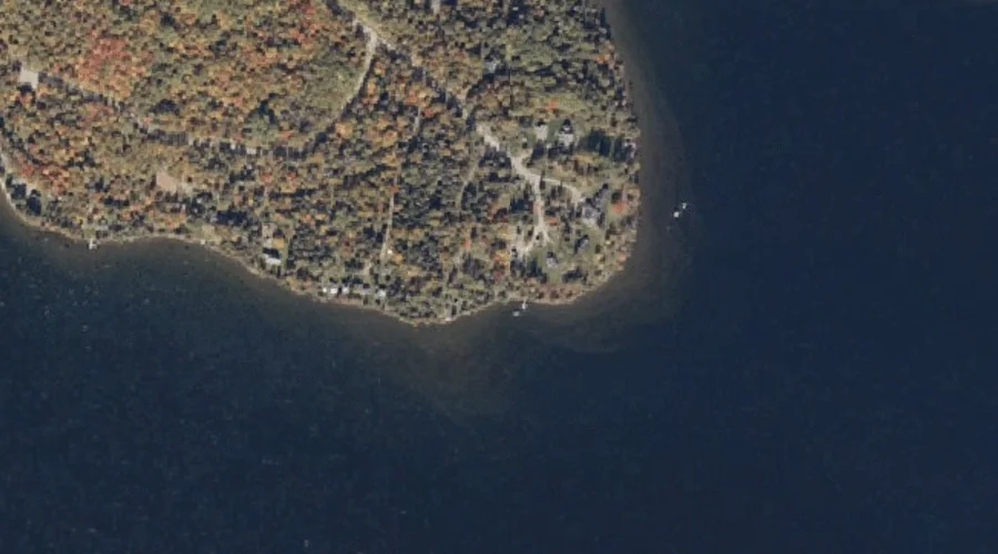
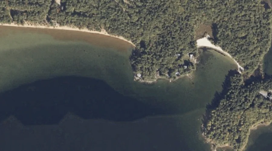
Bear Point is a cape in Cumberland County, Maine, located about 36.2 miles south-southeast of Chapman Inn in Bethel, Maine. It appears on the USGS Naples topographic quadrangle.
Cub Point is a cape in Cumberland County, Maine, located about 36.0 miles south-southeast of Chapman Inn in Bethel, Maine. It appears on the USGS Naples topographic quadrangle.