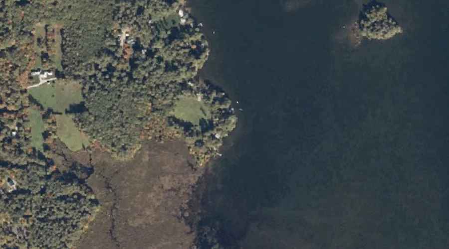
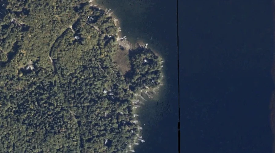
Whites Point is a cape in Cumberland County, Maine, located about 41.6 miles south-southeast of Chapman Inn in Bethel, Maine. It appears on the USGS North Windham topographic…
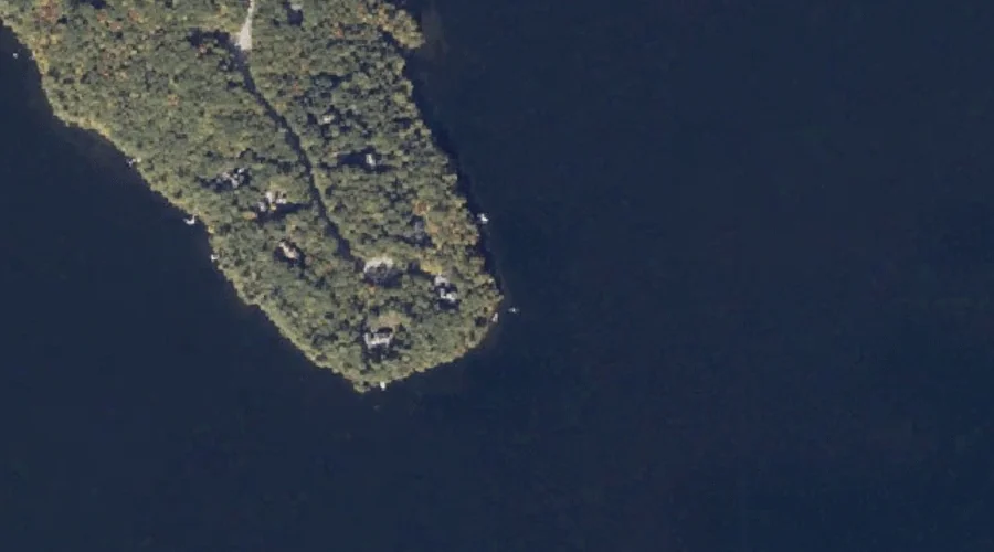
Lyon Point is a cape in Cumberland County, Maine, located about 40.6 miles south-southeast of Chapman Inn in Bethel, Maine. It appears on the USGS Raymond topographic quadrangle.
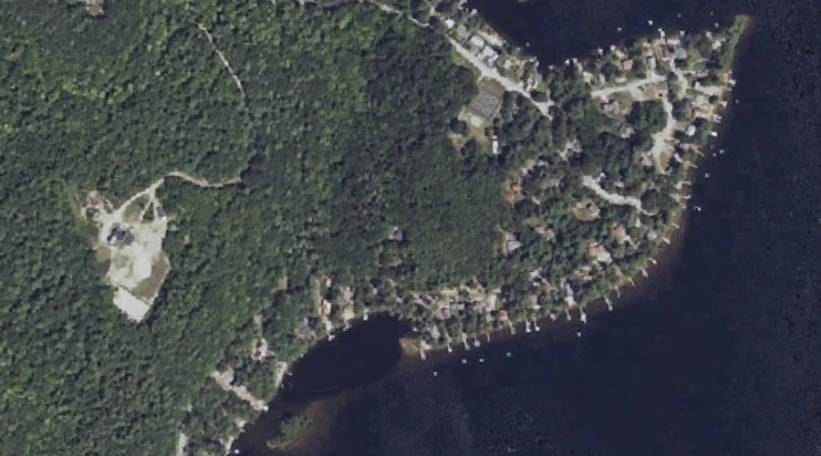
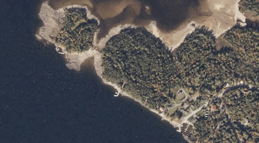
Raymond Cape is a cape in Cumberland County, Maine, located about 40.6 miles south-southeast of Chapman Inn in Bethel, Maine. It appears on the USGS North Windham topographic…
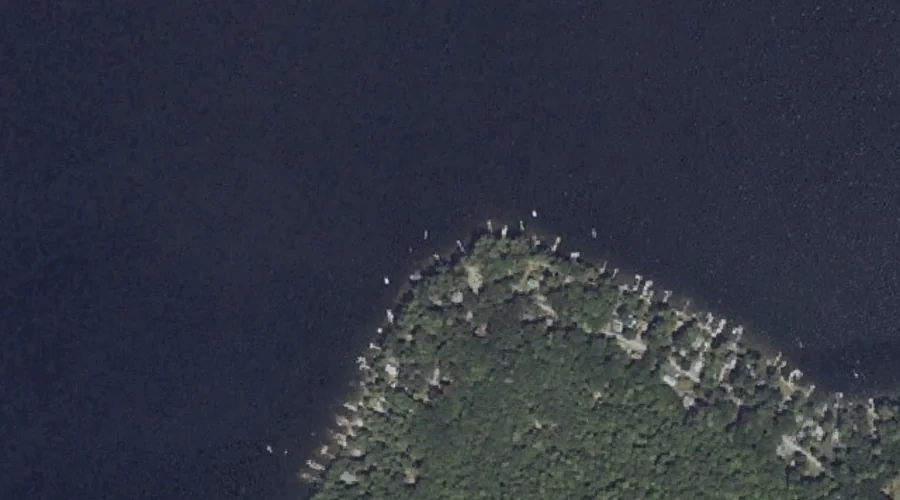
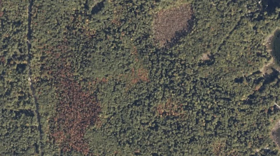
Krams Point is a cape in Cumberland County, Maine, located about 39.8 miles south-southeast of Chapman Inn in Bethel, Maine. It appears on the USGS Raymond topographic quadrangle.
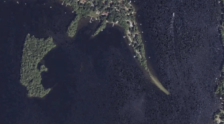
Browns Point is a cape in Cumberland County, Maine, located about 39.3 miles south-southeast of Chapman Inn in Bethel, Maine. It appears on the USGS Raymond topographic quadrangle.
Eagle Point is a cape in Franklin County, Maine, located about 39.4 miles north of Chapman Inn in Bethel, Maine. It appears on the USGS Oquossoc topographic quadrangle.
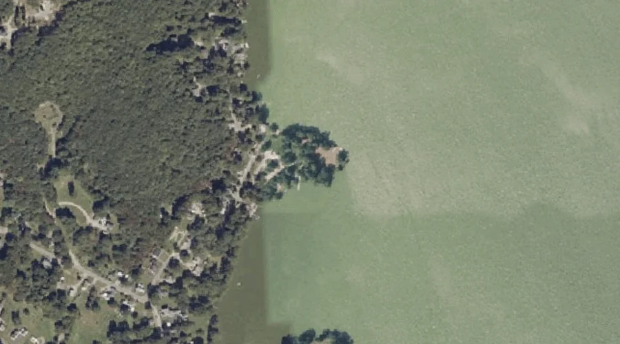
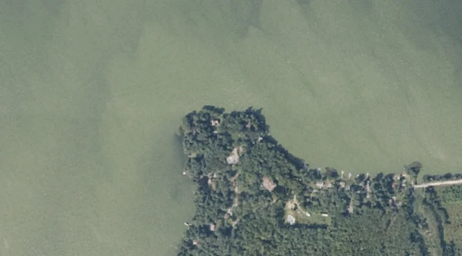
Raymond Neck is a cape in Cumberland County, Maine, located about 39.2 miles south-southeast of Chapman Inn in Bethel, Maine. It appears on the USGS Sebago Lake topographic…
Martin Point is a cape in Androscoggin County, Maine, located about 38.9 miles east-southeast of Chapman Inn in Bethel, Maine. It appears on the USGS Monmouth topographic quadrangle.
Spots Point is a cape in Franklin County, Maine, located about 38.7 miles north of Chapman Inn in Bethel, Maine. It appears on the USGS Oquossoc topographic quadrangle.
Marr Point is a cape in Androscoggin County, Maine, located about 38.4 miles east-southeast of Chapman Inn in Bethel, Maine. It appears on the USGS Monmouth topographic quadrangle.