 Aerial imagery: USGS National Map (public domain)
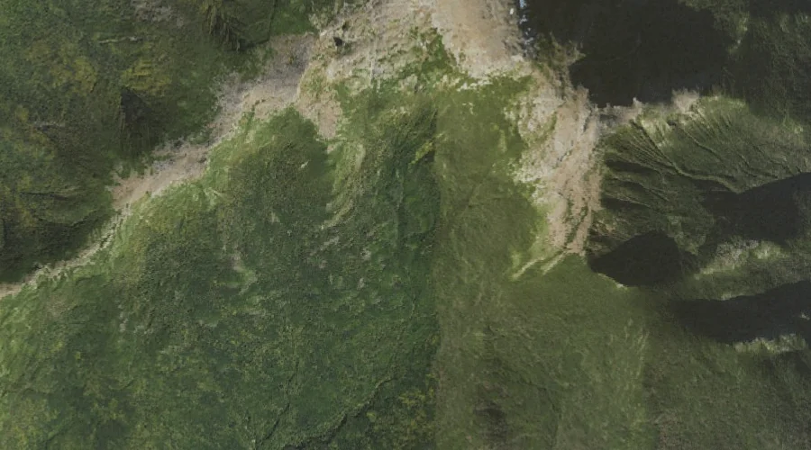
Oakes Gulf — Valleys 28.1 Miles WSW of Chapman Inn
Coos County, New Hampshire · USGS Stairs Mountain Quadrangle · GNIS 872423
Within Coos County, New Hampshire, on the USGS Stairs Mountain quadrangle, the valley known as Oakes Gulf sits 28.1 miles west-southwest of Chapman Inn.
Landmark Profile
Classification & USGS reference
Within Coos County, New Hampshire, the U.S. Geological Survey lists Oakes Gulf as a valley on the Stairs Mountain topographic quadrangle (FIPS 33/007), under Feature ID 872423. Last revised by the Board on Geographic Names on 08/01/2018.
Coordinates & physical setting
Oakes Gulf sits at 44.24563° N, 71.31103° W (DMS 44°14′44″ N, 71°18′40″ W).
Other valleys in Coos County, New Hampshire
Coos County, NH contains 15 valleys catalogued in the USGS Geographic Names Information System, counting Oakes Gulf itself. The ones closest to Oakes Gulf:
| Feature | USGS Quadrangle | Distance |
|---|---|---|
| Gulf of Slides | Stairs Mountain | 1.3 mi |
| Tuckerman Ravine | Mount Washington | 2.3 mi |
| Huntington Ravine | Mount Washington | 2.3 mi |
| Burt Ravine | Mount Washington | 2.6 mi |
| Jefferson Ravine | Mount Washington | 4.2 mi |
| Madison Gulf | Mount Washington | 4.7 mi |
| Great Gulf | Mount Washington | 4.9 mi |
| Ravine of the Castles | Mount Washington | 6.2 mi |
| Ravine of the Cascades | Mount Washington | 6.2 mi |
| King Ravine | Mount Washington | 7.4 mi |
Features on the USGS Stairs Mountain Quadrangle
The Stairs Mountain 7.5-minute topographic quadrangle holds 28 catalogued natural features alongside Oakes Gulf. A sampling nearest to this location:
| Feature | Type | County | Offset |
|---|---|---|---|
| Montalban Ridge | Ridges | Coos County, NH | 1 mi |
| Gulf Peak | Summits | Coos County, NH | 1.1 mi |
| Desolation Pond | Lakes | Coos County, NH | 1.2 mi |
| Rocky Branch Ridge | Ridges | Coos County, NH | 1.3 mi |
| Gulf of Slides | Valleys | Coos County, NH | 1.3 mi |
| Glen Boulder | Pillars | Coos County, NH | 1.9 mi |
| Mount Eisenhower | Summits | Coos County, NH | 2 mi |
| Mount Isolation | Summits | Coos County, NH | 2.1 mi |
| Mount Davis | Summits | Coos County, NH | 2.9 mi |
| Glen Ellis Falls | Waterfalls | Coos County, NH | 3 mi |
Visiting from Chapman Inn
Distance, bearing & drive time
Follow the compass bearing WSW out of Bethel for 28.1 miles (west-southwest) and you reach Oakes Gulf; at typical rural speeds the trip runs roughly 48 minutes.
Best time to visit
Late May through October; avoid black-fly peak in late May. Being this far north (lat 44.246°), first snows typically arrive by mid-October and linger into early May — narrow the window accordingly. At 28.1 miles from the Inn, block the full day — sunrise start, late return, packed meals. Conditions at Oakes Gulf track the nearby Mount Monroe summit (0.8 mi away) closely — if that is runnable, so is this.
Nearest features to Oakes Gulf
| Feature | Type | County | Distance |
|---|---|---|---|
| Mount Monroe | Summits | Coos County, NH | 0.8 mi |
| Lakes of the Clouds | Lakes | Coos County, NH | 0.9 mi |
| Mount Franklin | Summits | Coos County, NH | 1 mi |
| Boott Spur | Summits | Coos County, NH | 1 mi |
| Montalban Ridge | Ridges | Coos County, NH | 1 mi |
Frequently Asked Questions
Where is Oakes Gulf located?
Oakes Gulf is in Coos County, New Hampshire, approximately 28.1 miles west-southwest of Chapman Inn in Bethel, Maine. It appears on the USGS Stairs Mountain topographic quadrangle.
How far is Oakes Gulf from Chapman Inn?
The drive runs about 48 minutes, 28.1 miles west-southwest (bearing WSW) of the Inn.
What type of natural feature is Oakes Gulf?
The U.S. Geological Survey classifies Oakes Gulf as a valley, catalogued under GNIS Feature ID 872423 on the Stairs Mountain quadrangle.
When is the best time to visit Oakes Gulf?
Late May through October; avoid black-fly peak in late May.
How many other valleys are in Coos County, New Hampshire?
GNIS lists 14 other valleys in Coos County, New Hampshire.