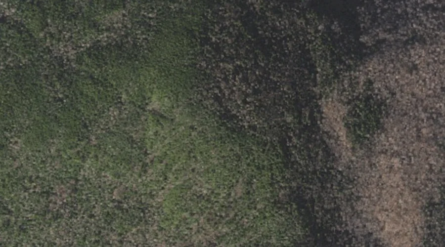
 Aerial imagery: USGS National Map (public domain)
Little Wildcat Mountain — Summits 22.6 Miles WSW of Chapman Inn
Coos County, New Hampshire · USGS Carter Dome Quadrangle · GNIS 872199
22.6 miles west-southwest of Chapman Inn, on the USGS Carter Dome topographic quadrangle, Little Wildcat Mountain is a summit recorded in Coos County, New Hampshire by the federal Geographic Names Information System.
Wikidata short description: “mountain in United States of America”
Landmark Profile
Classification & USGS reference
The USGS Carter Dome 7.5-minute topographic quadrangle places Little Wildcat Mountain in Coos County, New Hampshire (FIPS 33/007), classified as a summit in the federal GNIS (Feature ID 872199). Last revised by the Board on Geographic Names on 11/07/2020.
Coordinates & physical setting
Little Wildcat Mountain sits at 44.27743° N, 71.20941° W (DMS 44°16′39″ N, 71°12′34″ W).
Other summits in Coos County, New Hampshire
Coos County, NH contains 226 summits catalogued in the USGS Geographic Names Information System, counting Little Wildcat Mountain itself. The ones closest to Little Wildcat Mountain:
| Feature | USGS Quadrangle | Elevation | Distance |
|---|---|---|---|
| Wildcat Mountain | Carter Dome | 4,422 ft | 1.3 mi |
| Carter Dome | Carter Dome | — | 1.6 mi |
| South Carter Mountain | Carter Dome | 4,420 ft | 1.8 mi |
| Mount Hight | Carter Dome | — | 1.9 mi |
| Lows Bald Spot | Mount Washington | — | 2.2 mi |
| Middle Carter Mountain | Carter Dome | — | 2.7 mi |
| Imp Face | Carter Dome | — | 3.2 mi |
| North Carter Mountain | Carter Dome | — | 3.3 mi |
| Washburn Point | Mount Washington | — | 3.7 mi |
| Agiocochook Crag | Mount Washington | — | 4.1 mi |
Features on the USGS Carter Dome Quadrangle
The Carter Dome 7.5-minute topographic quadrangle holds 30 catalogued natural features alongside Little Wildcat Mountain. A sampling nearest to this location:
| Feature | Type | County | Offset |
|---|---|---|---|
| Emerald Pool | Lakes | Coos County, NH | 1.1 mi |
| Vals Ledge | Benches | Coos County, NH | 1.3 mi |
| Carter Notch | Gaps | Coos County, NH | 1.3 mi |
| Wildcat Mountain | Summits | Coos County, NH | 1.3 mi |
| Thompson Brook | Streams | Coos County, NH | 1.4 mi |
| Carter Dome | Summits | Coos County, NH | 1.6 mi |
| Zeta Pass | Gaps | Coos County, NH | 1.8 mi |
| South Carter Mountain | Summits | Coos County, NH | 1.8 mi |
| Nineteen Brook | Streams | Coos County, NH | 1.9 mi |
| Garnet Pool | Lakes | Coos County, NH | 1.9 mi |
Visiting from Chapman Inn
Distance, bearing & drive time
Chapman Inn sits 22.6 miles west-southwest (bearing WSW) of Little Wildcat Mountain. At moderate back-road speeds the drive runs about 39 minutes — comfortably inside a half-day outing window after breakfast.
Best time to visit
Accessible May through November in most years. Being this far north (lat 44.277°), first snows typically arrive by mid-October and linger into early May — narrow the window accordingly. At 22.6 miles from the Inn, plan on a comfortable day trip with time for lunch on the road. Conditions at Little Wildcat Mountain track the nearby Emerald Pool lake (1.1 mi away) closely — if that is runnable, so is this.
Nearest features to Little Wildcat Mountain
| Feature | Type | County | Distance |
|---|---|---|---|
| Emerald Pool | Lakes | Coos County, NH | 1.1 mi |
| Vals Ledge | Benches | Coos County, NH | 1.3 mi |
| Carter Notch | Gaps | Coos County, NH | 1.3 mi |
| Wildcat Mountain | Summits | Coos County, NH | 1.3 mi |
| Thompson Brook | Streams | Coos County, NH | 1.4 mi |
Frequently Asked Questions
Where is Little Wildcat Mountain located?
Little Wildcat Mountain is in Coos County, New Hampshire, approximately 22.6 miles west-southwest of Chapman Inn in Bethel, Maine. It appears on the USGS Carter Dome topographic quadrangle.
How far is Little Wildcat Mountain from Chapman Inn?
The drive runs about 39 minutes, 22.6 miles west-southwest (bearing WSW) of the Inn.
What type of natural feature is Little Wildcat Mountain?
The U.S. Geological Survey classifies Little Wildcat Mountain as a summit, catalogued under GNIS Feature ID 872199 on the Carter Dome quadrangle.
When is the best time to visit Little Wildcat Mountain?
Accessible May through November in most years.
How many other summits are in Coos County, New Hampshire?
GNIS lists 225 other summits in Coos County, New Hampshire.
Wikidata: Q34924826.