 Aerial imagery: USGS National Map (public domain)
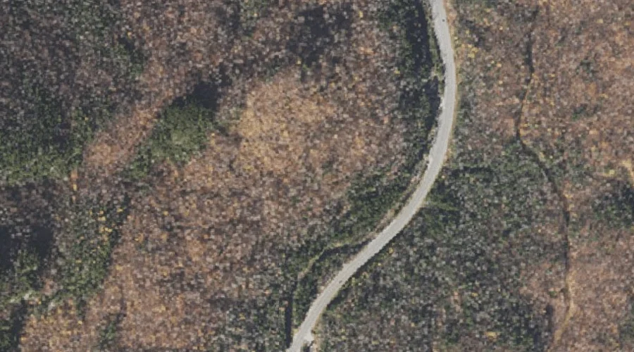
Vals Ledge — Benches 23.8 Miles WSW of Chapman Inn
Coos County, New Hampshire · USGS Carter Dome Quadrangle · GNIS 873023
Within Coos County, New Hampshire, on the USGS Carter Dome quadrangle, the bench terrace known as Vals Ledge sits 23.8 miles west-southwest of Chapman Inn.
Landmark Profile
Classification & USGS reference
Within Coos County, New Hampshire, the U.S. Geological Survey lists Vals Ledge as a bench terrace on the Carter Dome topographic quadrangle (FIPS 33/007), under Feature ID 873023. Catalogued in GNIS since 02/01/1991.
Coordinates & physical setting
Vals Ledge sits at 44.27395° N, 71.23452° W (DMS 44°16′26″ N, 71°14′04″ W).
Features on the USGS Carter Dome Quadrangle
The Carter Dome 7.5-minute topographic quadrangle holds 30 catalogued natural features alongside Vals Ledge. A sampling nearest to this location:
| Feature | Type | County | Offset |
|---|---|---|---|
| Thompson Brook | Streams | Coos County, NH | 0.3 mi |
| Emerald Pool | Lakes | Coos County, NH | 0.4 mi |
| Little Wildcat Mountain | Summits | Coos County, NH | 1.3 mi |
| Wildcat Mountain | Summits | Coos County, NH | 1.9 mi |
| Carter Notch | Gaps | Coos County, NH | 2.1 mi |
| Nineteen Brook | Streams | Coos County, NH | 2.1 mi |
| Garnet Pool | Lakes | Coos County, NH | 2.1 mi |
| Cowboy Brook | Streams | Coos County, NH | 2.5 mi |
| West Branch Peabody River | Streams | Coos County, NH | 2.7 mi |
| Carter Dome | Summits | Coos County, NH | 2.8 mi |
Visiting from Chapman Inn
Distance, bearing & drive time
Follow the compass bearing WSW out of Bethel for 23.8 miles (west-southwest) and you reach Vals Ledge; at typical rural speeds the trip runs roughly 41 minutes.
Best time to visit
Generally accessible May through October; winter access depends on snow cover. Being this far north (lat 44.274°), first snows typically arrive by mid-October and linger into early May — narrow the window accordingly. At 23.8 miles from the Inn, plan on a comfortable day trip with time for lunch on the road. Conditions at Vals Ledge track the nearby Thompson Brook stream (0.3 mi away) closely — if that is runnable, so is this.
Nearest features to Vals Ledge
| Feature | Type | County | Distance |
|---|---|---|---|
| Thompson Brook | Streams | Coos County, NH | 0.3 mi |
| Emerald Pool | Lakes | Coos County, NH | 0.4 mi |
| Lows Bald Spot | Summits | Coos County, NH | 1.2 mi |
| Little Wildcat Mountain | Summits | Coos County, NH | 1.3 mi |
| Pinkham Notch | Gaps | Coos County, NH | 1.5 mi |
Frequently Asked Questions
Where is Vals Ledge located?
Vals Ledge is in Coos County, New Hampshire, approximately 23.8 miles west-southwest of Chapman Inn in Bethel, Maine. It appears on the USGS Carter Dome topographic quadrangle.
How far is Vals Ledge from Chapman Inn?
The drive runs about 41 minutes, 23.8 miles west-southwest (bearing WSW) of the Inn.
What type of natural feature is Vals Ledge?
The U.S. Geological Survey classifies Vals Ledge as a bench terrace, catalogued under GNIS Feature ID 873023 on the Carter Dome quadrangle.
When is the best time to visit Vals Ledge?
Generally accessible May through October; winter access depends on snow cover.
Wikidata: Q49173423.