 Aerial imagery: USGS National Map (public domain)
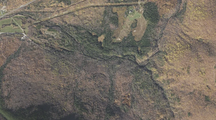
Townline Brook — Streams 22.7 Miles W of Chapman Inn
Coos County, New Hampshire · USGS Carter Dome Quadrangle · GNIS 872827
Catalogued on the USGS Carter Dome quadrangle in Coos County, New Hampshire, Townline Brook — a stream — lies 22.7 miles west of Chapman Inn.
Landmark Profile
Classification & USGS reference
Catalogued under GNIS Feature ID 872827, Townline Brook is recorded as a stream on the USGS Carter Dome quadrangle in Coos County, New Hampshire (FIPS 33/007). Last revised by the Board on Geographic Names on 04/02/2019.
Coordinates & physical setting
Townline Brook sits at 44.36700° N, 71.24524° W (DMS 44°22′01″ N, 71°14′43″ W).
As a linear feature its source lies near 44.34510° N, 71.25835° W (DMS 44°20′42″ N, 71°15′30″ W) — useful for anglers and paddlers tracing the upstream end.
Other streams in Coos County, New Hampshire
Coos County, NH contains 300 streams catalogued in the USGS Geographic Names Information System, counting Townline Brook itself. The ones closest to Townline Brook:
| Feature | USGS Quadrangle | Distance |
|---|---|---|
| Bumpus Brook | Mount Washington | 1 mi |
| Carlton Brook | Mount Washington | 1.5 mi |
| Snyder Brook | Mount Washington | 2.1 mi |
| Perkins Brook | Berlin | 2.5 mi |
| Bear Spring Brook | Carter Dome | 2.6 mi |
| Barnes Brook | Carter Dome | 2.6 mi |
| Culhane Brook | Carter Dome | 2.7 mi |
| Townline Brook | Carter Dome | 2.7 mi |
| Cold Brook | Mount Washington | 2.7 mi |
| Clay Brook | Carter Dome | 2.9 mi |
Features on the USGS Carter Dome Quadrangle
The Carter Dome 7.5-minute topographic quadrangle holds 30 catalogued natural features alongside Townline Brook. A sampling nearest to this location:
| Feature | Type | County | Offset |
|---|---|---|---|
| Triple Falls | Waterfalls | Coos County, NH | 0.6 mi |
| Pine Mountain | Summits | Coos County, NH | 1.5 mi |
| Bear Spring Brook | Streams | Coos County, NH | 2.6 mi |
| Barnes Brook | Streams | Coos County, NH | 2.6 mi |
| Culhane Brook | Streams | Coos County, NH | 2.7 mi |
| Townline Brook | Streams | Coos County, NH | 2.7 mi |
| Clay Brook | Streams | Coos County, NH | 2.9 mi |
| Imp Brook | Streams | Coos County, NH | 3 mi |
| Stony Brook | Streams | Coos County, NH | 3.5 mi |
| West Branch Peabody River | Streams | Coos County, NH | 4 mi |
Visiting from Chapman Inn
Distance, bearing & drive time
A 39-minute drive along back roads separates the front door of Chapman Inn from Townline Brook — 22.7 miles west as the crow flies, on compass bearing W.
Best time to visit
Best observed in late spring and early summer when flow is strong and banks are visible. Being this far north (lat 44.367°), first snows typically arrive by mid-October and linger into early May — narrow the window accordingly. At 22.7 miles from the Inn, plan on a comfortable day trip with time for lunch on the road. Conditions at Townline Brook track the nearby Triple Falls waterfall (0.6 mi away) closely — if that is runnable, so is this.
Nearest features to Townline Brook
| Feature | Type | County | Distance |
|---|---|---|---|
| Triple Falls | Waterfalls | Coos County, NH | 0.6 mi |
| Bumpus Brook | Streams | Coos County, NH | 1 mi |
| Blue Berry Ledge Bench | Benches | Coos County, NH | 1.2 mi |
| Coosauk Fall | Waterfalls | Coos County, NH | 1.3 mi |
| Hitchcock Falls | Waterfalls | Coos County, NH | 1.4 mi |
Frequently Asked Questions
Where is Townline Brook located?
Townline Brook is in Coos County, New Hampshire, approximately 22.7 miles west of Chapman Inn in Bethel, Maine. It appears on the USGS Carter Dome topographic quadrangle.
How far is Townline Brook from Chapman Inn?
The drive runs about 39 minutes, 22.7 miles west (bearing W) of the Inn.
What type of natural feature is Townline Brook?
The U.S. Geological Survey classifies Townline Brook as a stream, catalogued under GNIS Feature ID 872827 on the Carter Dome quadrangle.
When is the best time to visit Townline Brook?
Best observed in late spring and early summer when flow is strong and banks are visible.
How many other streams are in Coos County, New Hampshire?
GNIS lists 299 other streams in Coos County, New Hampshire.