 Aerial imagery: USGS National Map (public domain)
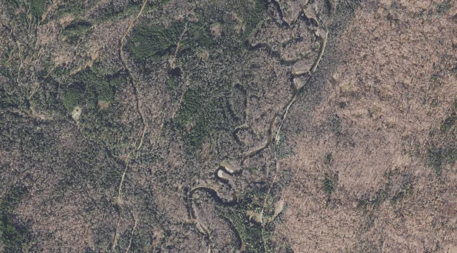
Monahans Bathtub — Other Natural Features 39.0 Miles NNW of Chapman Inn
Coos County, New Hampshire · USGS Wilsons Mills Quadrangle · GNIS 871089
39.0 miles north-northwest of Chapman Inn, on the USGS Wilsons Mills topographic quadrangle, Monahans Bathtub is a natural feature recorded in Coos County, New Hampshire by the federal Geographic Names Information System.
Landmark Profile
Classification & USGS reference
The USGS Wilsons Mills 7.5-minute topographic quadrangle places Monahans Bathtub in Coos County, New Hampshire (FIPS 33/007), classified as a natural feature in the federal GNIS (Feature ID 871089). Catalogued in GNIS since 02/01/1990.
Coordinates & physical setting
Monahans Bathtub sits at 44.92727° N, 71.09146° W (DMS 44°55′38″ N, 71°05′29″ W).
Other other natural features in Coos County, New Hampshire
Coos County, NH contains 6 other natural features catalogued in the USGS Geographic Names Information System, counting Monahans Bathtub itself. The ones closest to Monahans Bathtub:
| Feature | USGS Quadrangle | Distance |
|---|---|---|
| The Flume | Dixville Notch | 10.5 mi |
| Thirteen Mile Woods | Teakettle Ridge | 16 mi |
| Alpine Gardens | Mount Washington | 46.4 mi |
| Bigelow Lawn | Mount Washington | 47.1 mi |
| Giant Stairs | Stairs Mountain | 54.6 mi |
Features on the USGS Wilsons Mills Quadrangle
The Wilsons Mills 7.5-minute topographic quadrangle holds 35 catalogued natural features alongside Monahans Bathtub. A sampling nearest to this location:
| Feature | Type | County | Offset |
|---|---|---|---|
| Loomis Valley Brook | Streams | Coos County, NH | 0.4 mi |
| Lamb Valley Brook | Streams | Coos County, NH | 0.8 mi |
| Merrill Brook | Streams | Coos County, NH | 0.8 mi |
| Black Mountain | Summits | Coos County, NH | 1.4 mi |
| Halfmoon Mountain | Summits | Coos County, NH | 1.5 mi |
| Washburn Brook | Streams | Coos County, NH | 1.6 mi |
| Windey Ridge | Ridges | Coos County, NH | 2.2 mi |
| Lamb Valley Pond | Lakes | Coos County, NH | 2.3 mi |
| Rands Rock | Summits | Coos County, NH | 2.4 mi |
| Bennett Brook | Streams | Oxford County, NH | 2.7 mi |
Visiting from Chapman Inn
Distance, bearing & drive time
Chapman Inn sits 39.0 miles north-northwest (bearing NNW) of Monahans Bathtub. At moderate back-road speeds the drive runs about 67 minutes — comfortably inside a half-day outing window after breakfast.
Best time to visit
Generally accessible May through October; winter access depends on snow cover. Being this far north (lat 44.927°), first snows typically arrive by mid-October and linger into early May — narrow the window accordingly. At 39.0 miles from the Inn, block the full day — sunrise start, late return, packed meals. Conditions at Monahans Bathtub track the nearby Loomis Valley Brook stream (0.4 mi away) closely — if that is runnable, so is this.
Nearest features to Monahans Bathtub
| Feature | Type | County | Distance |
|---|---|---|---|
| Loomis Valley Brook | Streams | Coos County, NH | 0.4 mi |
| Lamb Valley Brook | Streams | Coos County, NH | 0.8 mi |
| Merrill Brook | Streams | Coos County, NH | 0.8 mi |
| Black Mountain | Summits | Coos County, NH | 1.4 mi |
| Halfmoon Mountain | Summits | Coos County, NH | 1.5 mi |
Frequently Asked Questions
Where is Monahans Bathtub located?
Monahans Bathtub is in Coos County, New Hampshire, approximately 39.0 miles north-northwest of Chapman Inn in Bethel, Maine. It appears on the USGS Wilsons Mills topographic quadrangle.
How far is Monahans Bathtub from Chapman Inn?
The drive runs about 67 minutes, 39.0 miles north-northwest (bearing NNW) of the Inn.
What type of natural feature is Monahans Bathtub?
The U.S. Geological Survey classifies Monahans Bathtub as a natural feature, catalogued under GNIS Feature ID 871089 on the Wilsons Mills quadrangle.
When is the best time to visit Monahans Bathtub?
Generally accessible May through October; winter access depends on snow cover.
How many other other natural features are in Coos County, New Hampshire?
GNIS lists 5 other other natural features in Coos County, New Hampshire.