 Aerial imagery: USGS National Map (public domain)
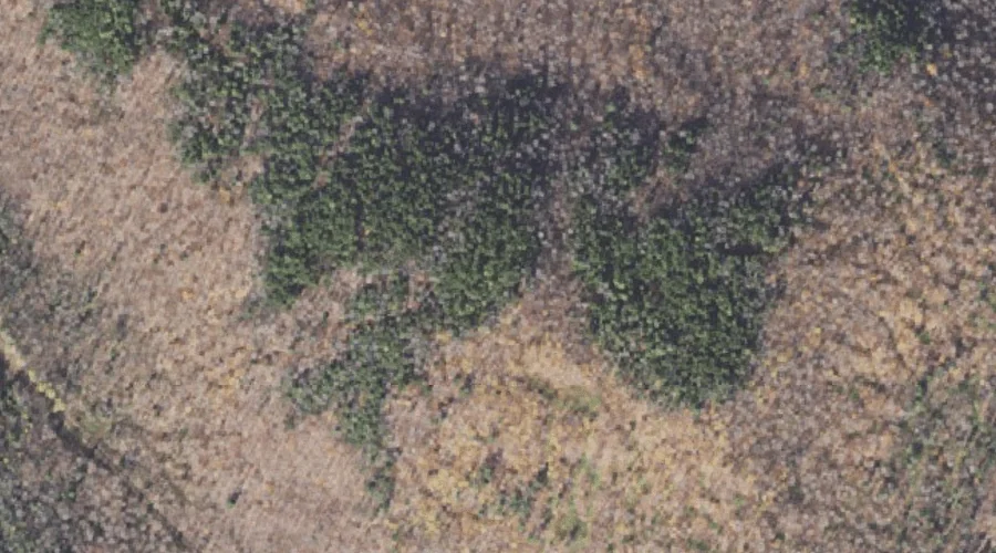
Jackknife Hill — Summits 29.5 Miles NW of Chapman Inn
Coos County, New Hampshire · USGS Teakettle Ridge Quadrangle · GNIS 867741
29.5 miles northwest of Chapman Inn, on the USGS Teakettle Ridge topographic quadrangle, Jackknife Hill is a summit recorded in Coos County, New Hampshire by the federal Geographic Names Information System.
Wikidata short description: “mountain in United States of America”
Landmark Profile
Classification & USGS reference
The USGS Teakettle Ridge 7.5-minute topographic quadrangle places Jackknife Hill in Coos County, New Hampshire (FIPS 33/007), classified as a summit in the federal GNIS (Feature ID 867741). Last revised by the Board on Geographic Names on 04/02/2022.
Coordinates & physical setting
Jackknife Hill sits at 44.73611° N, 71.16790° W (DMS 44°44′10″ N, 71°10′04″ W).
Other summits in Coos County, New Hampshire
Coos County, NH contains 226 summits catalogued in the USGS Geographic Names Information System, counting Jackknife Hill itself. The ones closest to Jackknife Hill:
| Feature | USGS Quadrangle | Elevation | Distance |
|---|---|---|---|
| Pond Hill | Teakettle Ridge | — | 3 mi |
| Deer Mountain | Teakettle Ridge | — | 3 mi |
| Mill Mountain | Umbagog Lake North | — | 3.3 mi |
| Double Top Mountain | Teakettle Ridge | — | 3.3 mi |
| Errol Hill | Umbagog Lake North | — | 3.4 mi |
| Signal Mountain | Errol | — | 3.4 mi |
| Sugar Hill | Teakettle Ridge | — | 3.9 mi |
| Mount Patience | Dummer Ponds | — | 4.2 mi |
| Cow Mountain | Dummer Ponds | — | 4.9 mi |
| Little Roundtop Mountain | Umbagog Lake South | — | 5.4 mi |
Features on the USGS Teakettle Ridge Quadrangle
The Teakettle Ridge 7.5-minute topographic quadrangle holds 26 catalogued natural features alongside Jackknife Hill. A sampling nearest to this location:
| Feature | Type | County | Offset |
|---|---|---|---|
| Teakettle Ridge | Ridges | Coos County, NH | 0 mi |
| Smoky Camp Brook | Streams | Coos County, NH | 0.8 mi |
| Munn Pond | Lakes | Coos County, NH | 1.1 mi |
| Mollidgewock Brook | Streams | Coos County, NH | 1.2 mi |
| Seven Islands | Islands | Coos County, NH | 1.9 mi |
| Thirteen Mile Woods | Other Natural Features | Coos County, NH | 2.3 mi |
| Sessions Pond | Lakes | Coos County, NH | 2.6 mi |
| Bear Brook | Streams | Coos County, NH | 2.8 mi |
| Pond Hill | Summits | Coos County, NH | 3 mi |
| Deer Mountain | Summits | Coos County, NH | 3 mi |
Visiting from Chapman Inn
Distance, bearing & drive time
Chapman Inn sits 29.5 miles northwest (bearing NW) of Jackknife Hill. At moderate back-road speeds the drive runs about 51 minutes — comfortably inside a half-day outing window after breakfast.
Best time to visit
Accessible May through November in most years. Being this far north (lat 44.736°), first snows typically arrive by mid-October and linger into early May — narrow the window accordingly. At 29.5 miles from the Inn, block the full day — sunrise start, late return, packed meals. Conditions at Jackknife Hill track the nearby Teakettle Ridge (essentially adjacent) closely — if that is runnable, so is this.
Nearest features to Jackknife Hill
| Feature | Type | County | Distance |
|---|---|---|---|
| Teakettle Ridge | Ridges | Coos County, NH | 0 mi |
| Smoky Camp Brook | Streams | Coos County, NH | 0.8 mi |
| Munn Pond | Lakes | Coos County, NH | 1.1 mi |
| Mollidgewock Brook | Streams | Coos County, NH | 1.2 mi |
| Seven Islands | Islands | Coos County, NH | 1.9 mi |
Frequently Asked Questions
Where is Jackknife Hill located?
Jackknife Hill is in Coos County, New Hampshire, approximately 29.5 miles northwest of Chapman Inn in Bethel, Maine. It appears on the USGS Teakettle Ridge topographic quadrangle.
How far is Jackknife Hill from Chapman Inn?
The drive runs about 51 minutes, 29.5 miles northwest (bearing NW) of the Inn.
What type of natural feature is Jackknife Hill?
The U.S. Geological Survey classifies Jackknife Hill as a summit, catalogued under GNIS Feature ID 867741 on the Teakettle Ridge quadrangle.
When is the best time to visit Jackknife Hill?
Accessible May through November in most years.
How many other summits are in Coos County, New Hampshire?
GNIS lists 225 other summits in Coos County, New Hampshire.
Wikidata: Q34875702.