 Aerial imagery: USGS National Map (public domain)
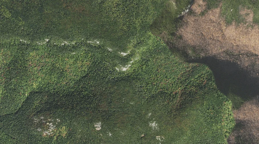
Giant Stairs — Other Natural Features 31.4 Miles WSW of Chapman Inn
Coos County, New Hampshire · USGS Stairs Mountain Quadrangle · GNIS 871934
Within Coos County, New Hampshire, on the USGS Stairs Mountain quadrangle, the natural feature known as Giant Stairs sits 31.4 miles west-southwest of Chapman Inn.
Landmark Profile
Classification & USGS reference
Within Coos County, New Hampshire, the U.S. Geological Survey lists Giant Stairs as a natural feature on the Stairs Mountain topographic quadrangle (FIPS 33/007), under Feature ID 871934. Catalogued in GNIS since 08/27/1980.
Coordinates & physical setting
Giant Stairs sits at 44.15285° N, 71.31702° W (DMS 44°09′10″ N, 71°19′01″ W).
Other other natural features in Coos County, New Hampshire
Coos County, NH contains 6 other natural features catalogued in the USGS Geographic Names Information System, counting Giant Stairs itself. The ones closest to Giant Stairs:
| Feature | USGS Quadrangle | Distance |
|---|---|---|
| Bigelow Lawn | Mount Washington | 7.6 mi |
| Alpine Gardens | Mount Washington | 8.2 mi |
| Thirteen Mile Woods | Teakettle Ridge | 38.7 mi |
| The Flume | Dixville Notch | 48.9 mi |
| Monahans Bathtub | Wilsons Mills | 54.6 mi |
Features on the USGS Stairs Mountain Quadrangle
The Stairs Mountain 7.5-minute topographic quadrangle holds 28 catalogued natural features alongside Giant Stairs. A sampling nearest to this location:
| Feature | Type | County | Offset |
|---|---|---|---|
| Stairs Mountain | Summits | Coos County, NH | 0.2 mi |
| Mount Resolution | Summits | Coos County, NH | 0.4 mi |
| Bemis Ridge | Ridges | Coos County, NH | 1.3 mi |
| Mount Crawford | Summits | Coos County, NH | 1.4 mi |
| Upper Stairs Brook | Streams | Coos County, NH | 1.5 mi |
| Lower Stairs Brook | Streams | Carroll County, NH | 2 mi |
| Maple Mountain | Summits | Carroll County, NH | 2.2 mi |
| Sleeper Brook | Streams | Carroll County, NH | 2.3 mi |
| Dry River | Streams | Coos County, NH | 2.5 mi |
| Davis Brook | Streams | Carroll County, NH | 2.5 mi |
Visiting from Chapman Inn
Distance, bearing & drive time
Follow the compass bearing WSW out of Bethel for 31.4 miles (west-southwest) and you reach Giant Stairs; at typical rural speeds the trip runs roughly 54 minutes.
Best time to visit
Generally accessible May through October; winter access depends on snow cover. Being this far north (lat 44.153°), first snows typically arrive by mid-October and linger into early May — narrow the window accordingly. At 31.4 miles from the Inn, block the full day — sunrise start, late return, packed meals. Conditions at Giant Stairs track the nearby Stairs Mountain summit (0.2 mi away) closely — if that is runnable, so is this.
Nearest features to Giant Stairs
| Feature | Type | County | Distance |
|---|---|---|---|
| Stairs Mountain | Summits | Coos County, NH | 0.2 mi |
| Mount Resolution | Summits | Coos County, NH | 0.4 mi |
| Bemis Ridge | Ridges | Coos County, NH | 1.3 mi |
| Mount Crawford | Summits | Coos County, NH | 1.4 mi |
| Upper Stairs Brook | Streams | Coos County, NH | 1.5 mi |
Frequently Asked Questions
Where is Giant Stairs located?
Giant Stairs is in Coos County, New Hampshire, approximately 31.4 miles west-southwest of Chapman Inn in Bethel, Maine. It appears on the USGS Stairs Mountain topographic quadrangle.
How far is Giant Stairs from Chapman Inn?
The drive runs about 54 minutes, 31.4 miles west-southwest (bearing WSW) of the Inn.
What type of natural feature is Giant Stairs?
The U.S. Geological Survey classifies Giant Stairs as a natural feature, catalogued under GNIS Feature ID 871934 on the Stairs Mountain quadrangle.
When is the best time to visit Giant Stairs?
Generally accessible May through October; winter access depends on snow cover.
How many other other natural features are in Coos County, New Hampshire?
GNIS lists 5 other other natural features in Coos County, New Hampshire.