 Aerial imagery: USGS National Map (public domain)
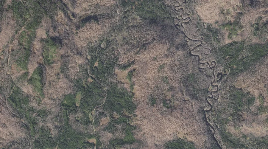
Windey Ridge — Ridges 37.1 Miles NNW of Chapman Inn
Coos County, New Hampshire · USGS Wilsons Mills Quadrangle · GNIS 871084
Catalogued on the USGS Wilsons Mills quadrangle in Coos County, New Hampshire, Windey Ridge — a ridge — lies 37.1 miles north-northwest of Chapman Inn.
Wikidata short description: “ridge in Coös County, New Hampshire, United States”
Landmark Profile
Classification & USGS reference
Catalogued under GNIS Feature ID 871084, Windey Ridge is recorded as a ridge on the USGS Wilsons Mills quadrangle in Coos County, New Hampshire (FIPS 33/007). Last revised by the Board on Geographic Names on 07/06/2022.
Coordinates & physical setting
Windey Ridge sits at 44.89597° N, 71.09450° W (DMS 44°53′45″ N, 71°05′40″ W).
Other ridges in Coos County, New Hampshire
Coos County, NH contains 32 ridges catalogued in the USGS Geographic Names Information System, counting Windey Ridge itself. The ones closest to Windey Ridge:
| Feature | USGS Quadrangle | Elevation | Distance |
|---|---|---|---|
| Blue Ridge | Mount Pisgah | — | 8.5 mi |
| Nathan Pond Ridge | Diamond Pond | — | 8.7 mi |
| Mud Pond Ridge | Diamond Pond | — | 9.1 mi |
| Diamond Ridge | Diamond Pond | — | 10.9 mi |
| South Ridge | Diamond Pond | — | 11 mi |
| Teakettle Ridge | Teakettle Ridge | — | 11.6 mi |
| Whipple Ridge | Diamond Pond | — | 12.1 mi |
| Dead Water Ridge | Diamond Pond | — | 12.6 mi |
| Whitcomb Mountain | Dummer Ponds | — | 17.8 mi |
| Long Mountain | Percy Peaks | — | 20.5 mi |
Features on the USGS Wilsons Mills Quadrangle
The Wilsons Mills 7.5-minute topographic quadrangle holds 35 catalogued natural features alongside Windey Ridge. A sampling nearest to this location:
| Feature | Type | County | Offset |
|---|---|---|---|
| Rands Rock | Summits | Coos County, NH | 0.9 mi |
| Alice Ledge | Cliffs | Coos County, NH | 1.1 mi |
| Alder Brook | Streams | Coos County, NH | 1.3 mi |
| Merrill Brook | Streams | Coos County, NH | 1.4 mi |
| Dart Wentworth Spring | Springs | Coos County, NH | 1.4 mi |
| Linda Ledge | Cliffs | Coos County, NH | 1.4 mi |
| Swift Diamond River | Streams | Coos County, NH | 1.5 mi |
| Black Mountain | Summits | Coos County, NH | 1.6 mi |
| Diamond Peaks | Summits | Coos County, NH | 1.6 mi |
| Bennett Brook | Streams | Coos County, NH | 1.6 mi |
Visiting from Chapman Inn
Distance, bearing & drive time
A 64-minute drive along back roads separates the front door of Chapman Inn from Windey Ridge — 37.1 miles north-northwest as the crow flies, on compass bearing NNW.
Best time to visit
Accessible May through November in most years. Being this far north (lat 44.896°), first snows typically arrive by mid-October and linger into early May — narrow the window accordingly. At 37.1 miles from the Inn, block the full day — sunrise start, late return, packed meals. Conditions at Windey Ridge track the nearby Rands Rock summit (0.9 mi away) closely — if that is runnable, so is this.
Nearest features to Windey Ridge
| Feature | Type | County | Distance |
|---|---|---|---|
| Rands Rock | Summits | Coos County, NH | 0.9 mi |
| Alice Ledge | Cliffs | Coos County, NH | 1.1 mi |
| Alder Brook | Streams | Coos County, NH | 1.3 mi |
| Merrill Brook | Streams | Coos County, NH | 1.4 mi |
| Dart Wentworth Spring | Springs | Coos County, NH | 1.4 mi |
Frequently Asked Questions
Where is Windey Ridge located?
Windey Ridge is in Coos County, New Hampshire, approximately 37.1 miles north-northwest of Chapman Inn in Bethel, Maine. It appears on the USGS Wilsons Mills topographic quadrangle.
How far is Windey Ridge from Chapman Inn?
The drive runs about 64 minutes, 37.1 miles north-northwest (bearing NNW) of the Inn.
What type of natural feature is Windey Ridge?
The U.S. Geological Survey classifies Windey Ridge as a ridge, catalogued under GNIS Feature ID 871084 on the Wilsons Mills quadrangle.
When is the best time to visit Windey Ridge?
Accessible May through November in most years.
How many other ridges are in Coos County, New Hampshire?
GNIS lists 31 other ridges in Coos County, New Hampshire.
Wikidata: Q34868030.