 Aerial imagery: USGS National Map (public domain)
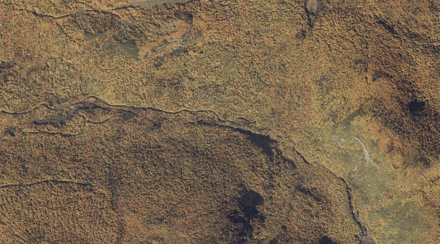
Sawyer Notch — Gaps 21.6 Miles N of Chapman Inn
Oxford County, Maine · USGS Andover Quadrangle · GNIS 574972
Catalogued on the USGS Andover quadrangle in Oxford County, Maine, Sawyer Notch — a mountain gap — lies 21.6 miles north of Chapman Inn.
Landmark Profile
Classification & USGS reference
Catalogued under GNIS Feature ID 574972, Sawyer Notch is recorded as a mountain gap on the USGS Andover quadrangle in Oxford County, Maine (FIPS 23/017). Last revised by the Board on Geographic Names on 10/19/2016.
Coordinates & physical setting
Sawyer Notch sits at 44.71589° N, 70.82563° W (DMS 44°42′57″ N, 70°49′32″ W).
Other gaps in Oxford County, Maine
Oxford County, ME contains 18 gaps catalogued in the USGS Geographic Names Information System, counting Sawyer Notch itself. The ones closest to Sawyer Notch:
| Feature | USGS Quadrangle | Distance |
|---|---|---|
| Black Brook Notch | Andover | 2.4 mi |
| Dunn Notch | B Pond | 6.1 mi |
| Grafton Notch | Old Speck Mountain | 10.4 mi |
| Mine Notch | Ellis Pond | 10.7 mi |
| Roxbury Notch | Ellis Pond | 11.5 mi |
| Miles Notch | Old Speck Mountain | 12.1 mi |
| Swains Notch | Rumford | 13 mi |
| Notch 2 | Old Speck Mountain | 13.8 mi |
| Mahoosuc Notch | Old Speck Mountain | 14.6 mi |
| Carlo Col | Shelburne | 18.3 mi |
Features on the USGS Andover Quadrangle
The Andover 7.5-minute topographic quadrangle holds 22 catalogued natural features alongside Sawyer Notch. A sampling nearest to this location:
| Feature | Type | County | Offset |
|---|---|---|---|
| Hall Mountain | Summits | Oxford County, ME | 1 mi |
| Moody Mountain | Summits | Oxford County, ME | 1.2 mi |
| Clearwater Brook | Streams | Oxford County, ME | 1.9 mi |
| Birch Brook | Streams | Oxford County, ME | 1.9 mi |
| Sawyer Mountain | Summits | Oxford County, ME | 2 mi |
| C Bluff Mountain | Summits | Oxford County, ME | 2.2 mi |
| C Bluff | Cliffs | Oxford County, ME | 2.3 mi |
| Black Brook Notch | Gaps | Oxford County, ME | 2.4 mi |
| Wyman Mountain | Summits | Oxford County, ME | 2.5 mi |
| Black Cat Mountain | Summits | Oxford County, ME | 2.9 mi |
Visiting from Chapman Inn
Distance, bearing & drive time
A 37-minute drive along back roads separates the front door of Chapman Inn from Sawyer Notch — 21.6 miles north as the crow flies, on compass bearing N.
Best time to visit
Late May through October; avoid black-fly peak in late May. At this latitude (44.716°), the shoulder seasons are workable — April and November can be comfortable on mild years. At 21.6 miles from the Inn, plan on a comfortable day trip with time for lunch on the road. Conditions at Sawyer Notch track the nearby Hall Mountain summit (1.0 mi away) closely — if that is runnable, so is this.
Nearest features to Sawyer Notch
| Feature | Type | County | Distance |
|---|---|---|---|
| Hall Mountain | Summits | Oxford County, ME | 1 mi |
| Moody Mountain | Summits | Oxford County, ME | 1.2 mi |
| Clearwater Brook | Streams | Oxford County, ME | 1.9 mi |
| Birch Brook | Streams | Oxford County, ME | 1.9 mi |
| Sawyer Mountain | Summits | Oxford County, ME | 2 mi |
Frequently Asked Questions
Where is Sawyer Notch located?
Sawyer Notch is in Oxford County, Maine, approximately 21.6 miles north of Chapman Inn in Bethel, Maine. It appears on the USGS Andover topographic quadrangle.
How far is Sawyer Notch from Chapman Inn?
The drive runs about 37 minutes, 21.6 miles north (bearing N) of the Inn.
What type of natural feature is Sawyer Notch?
The U.S. Geological Survey classifies Sawyer Notch as a mountain gap, catalogued under GNIS Feature ID 574972 on the Andover quadrangle.
When is the best time to visit Sawyer Notch?
Late May through October; avoid black-fly peak in late May.
How many other gaps are in Oxford County, Maine?
GNIS lists 17 other gaps in Oxford County, Maine.