Bowden Island is a island in Somerset County, Maine, located about 47.7 miles east-northeast of Chapman Inn in Bethel, Maine. It appears on the USGS Mercer topographic quadrangle.
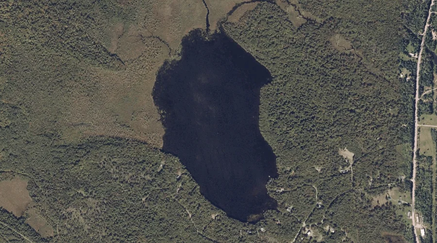
Lemon Stream is a reservoir in Somerset County, Maine, located about 47.4 miles northeast of Chapman Inn in Bethel, Maine. It appears on the USGS New Portland topographic…
Sterry Hill is a summit in Somerset County, Maine, located about 47.5 miles east-northeast of Chapman Inn in Bethel, Maine. It appears on the USGS Madison West topographic…
Bog Stream is a stream in Somerset County, Maine, located about 47.3 miles east-northeast of Chapman Inn in Bethel, Maine. It appears on the USGS Mercer topographic quadrangle.
Farrand Island is a island in Somerset County, Maine, located about 47.1 miles east-northeast of Chapman Inn in Bethel, Maine. It appears on the USGS Mercer topographic quadrangle.
Mount Hunger is a summit in Somerset County, Maine, located about 46.8 miles east-northeast of Chapman Inn in Bethel, Maine. It appears on the USGS Madison West topographic…
Beech Hill is a summit in Somerset County, Maine, located about 46.8 miles east-northeast of Chapman Inn in Bethel, Maine. It appears on the USGS Mercer topographic quadrangle.
Strickland Hill is a summit in Somerset County, Maine, located about 46.5 miles northeast of Chapman Inn in Bethel, Maine. It appears on the USGS New Vineyard topographic…
Meadow Brook is a stream in Somerset County, Maine, located about 46.3 miles east-northeast of Chapman Inn in Bethel, Maine. It appears on the USGS Madison West topographic…
Ladd Pond is a lake in Somerset County, Maine, located about 46.3 miles east-northeast of Chapman Inn in Bethel, Maine. It appears on the USGS Belgrade Lakes topographic…