Pennell Pond is a reservoir in Somerset County, Maine, located about 49.7 miles northeast of Chapman Inn in Bethel, Maine. It appears on the USGS New Portland topographic…
The Serpentine is a stream in Somerset County, Maine, located about 49.7 miles east-northeast of Chapman Inn in Bethel, Maine. It appears on the USGS Norridgewock topographic quadrangle.
Hilton Brook is a stream in Somerset County, Maine, located about 49.6 miles east-northeast of Chapman Inn in Bethel, Maine. It appears on the USGS Madison West topographic…
Mount Bett is a summit in Somerset County, Maine, located about 49.6 miles east-northeast of Chapman Inn in Bethel, Maine. It appears on the USGS Norridgewock topographic quadrangle.
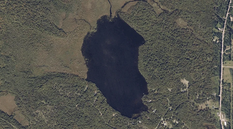
Nevens Pond is a lake in Somerset County, Maine, located about 49.4 miles east-northeast of Chapman Inn in Bethel, Maine. It appears on the USGS Madison West topographic…
Oak Hill is a summit in Somerset County, Maine, located about 49.2 miles east-northeast of Chapman Inn in Bethel, Maine. It appears on the USGS Norridgewock topographic quadrangle.
New Portland Hill is a summit in Somerset County, Maine, located about 49.3 miles northeast of Chapman Inn in Bethel, Maine. It appears on the USGS New Portland…
Leech Brook is a stream in Somerset County, Maine, located about 49.3 miles east-northeast of Chapman Inn in Bethel, Maine. It appears on the USGS Norridgewock topographic quadrangle.
Sandy River Reservoir is a reservoir in Somerset County, Maine, located about 49.3 miles east-northeast of Chapman Inn in Bethel, Maine. It appears on the USGS Mercer topographic…
Holland Waite Hill is a summit in Somerset County, Maine, located about 49.3 miles northeast of Chapman Inn in Bethel, Maine. It appears on the USGS Madison West…