Indian Stream is a stream in Somerset County, Maine, located about 48.3 miles east-northeast of Chapman Inn in Bethel, Maine. It appears on the USGS Mercer topographic quadrangle.
Little Beech Hill is a summit in Somerset County, Maine, located about 48.4 miles east-northeast of Chapman Inn in Bethel, Maine. It appears on the USGS Mercer topographic…
Pease Hill is a summit in Somerset County, Maine, located about 48.4 miles northeast of Chapman Inn in Bethel, Maine. It appears on the USGS Madison West topographic…
Barton Hill is a summit in Somerset County, Maine, located about 48.3 miles northeast of Chapman Inn in Bethel, Maine. It appears on the USGS Madison West topographic…
Mayhew Bog is a swamp in Somerset County, Maine, located about 48.1 miles east-northeast of Chapman Inn in Bethel, Maine. It appears on the USGS Madison West topographic…
Pattee Brook is a stream in Somerset County, Maine, located about 48.2 miles east-northeast of Chapman Inn in Bethel, Maine. It appears on the USGS Norridgewock topographic quadrangle.
Gamape Hill is a summit in Somerset County, Maine, located about 48.2 miles northeast of Chapman Inn in Bethel, Maine. It appears on the USGS New Vineyard topographic…
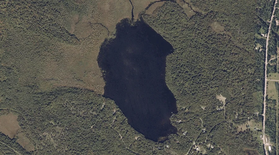
Cold Pond is a lake in Somerset County, Maine, located about 48.1 miles east-northeast of Chapman Inn in Bethel, Maine. It appears on the USGS Madison West topographic…
Lemon Stream is a stream in Somerset County, Maine, located about 47.9 miles northeast of Chapman Inn in Bethel, Maine. It appears on the USGS New Portland topographic…
Lemon Stream is a stream in Somerset County, Maine, located about 47.7 miles east-northeast of Chapman Inn in Bethel, Maine. It appears on the USGS Mercer topographic quadrangle.