Witham Brook is a stream in Somerset County, Maine, located about 49.1 miles east-northeast of Chapman Inn in Bethel, Maine. It appears on the USGS Mercer topographic quadrangle.
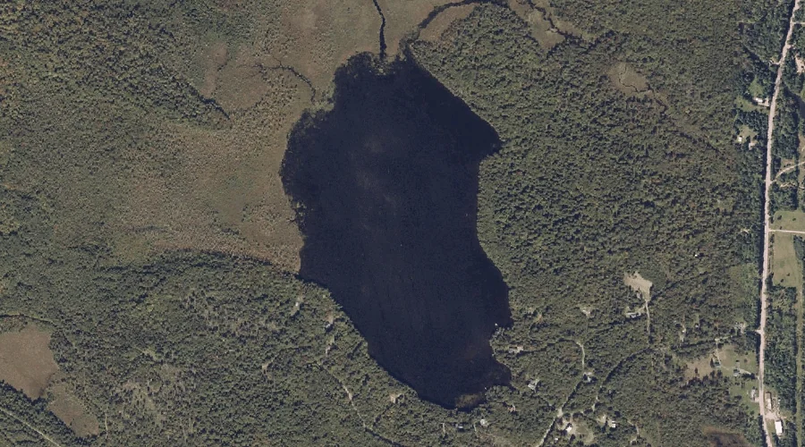
North Pond is a lake in Somerset County, Maine, located about 49.1 miles east-northeast of Chapman Inn in Bethel, Maine. It appears on the USGS Norridgewock topographic quadrangle.
Greenwood Brook is a stream in Somerset County, Maine, located about 49.0 miles northeast of Chapman Inn in Bethel, Maine. It appears on the USGS New Vineyard topographic…
Greenwood Stream is a stream in Somerset County, Maine, located about 49.0 miles northeast of Chapman Inn in Bethel, Maine. It appears on the USGS New Vineyard topographic…
Dyer Brook is a stream in Somerset County, Maine, located about 48.7 miles northeast of Chapman Inn in Bethel, Maine. It appears on the USGS New Portland topographic…
Yeaton Island is a island in Somerset County, Maine, located about 48.7 miles east-northeast of Chapman Inn in Bethel, Maine. It appears on the USGS Mercer topographic quadrangle.
Bloodsucker Brook is a stream in Somerset County, Maine, located about 48.6 miles northeast of Chapman Inn in Bethel, Maine. It appears on the USGS New Portland topographic…
Pomleau Island is a island in Somerset County, Maine, located about 48.5 miles east-northeast of Chapman Inn in Bethel, Maine. It appears on the USGS Norridgewock topographic quadrangle.
Birch Point is a cape in Somerset County, Maine, located about 48.3 miles east-northeast of Chapman Inn in Bethel, Maine. It appears on the USGS Norridgewock topographic quadrangle.
Bog Stream is a stream in Somerset County, Maine, located about 48.3 miles east-northeast of Chapman Inn in Bethel, Maine. It appears on the USGS Norridgewock topographic quadrangle.