Evans Notch is a mountain gap in Oxford County, Maine, located about 12.1 miles southwest of Chapman Inn in Bethel, Maine. It appears on the USGS Speckled Mountain…
The Nubble is a summit in Oxford County, Maine, located about 11.8 miles southeast of Chapman Inn in Bethel, Maine. It appears on the USGS Greenwood topographic quadrangle.
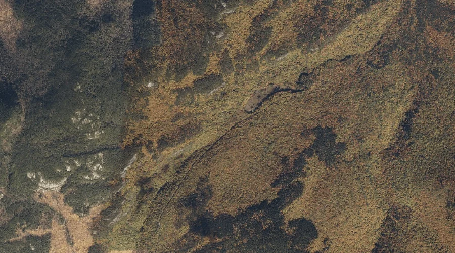
Miles Notch is a mountain gap in Oxford County, Maine, located about 11.8 miles north-northwest of Chapman Inn in Bethel, Maine. It appears on the USGS Old Speck…
Carter Hill is a summit in Oxford County, Maine, located about 11.8 miles southeast of Chapman Inn in Bethel, Maine. It appears on the USGS Greenwood topographic quadrangle.
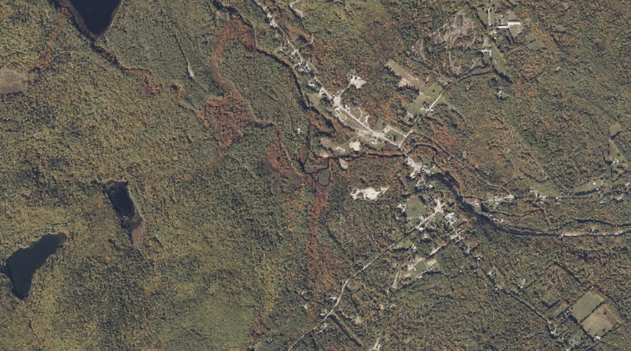
Mill Brook is a stream in Oxford County, Maine, located about 11.8 miles south of Chapman Inn in Bethel, Maine. It appears on the USGS North Waterford topographic…
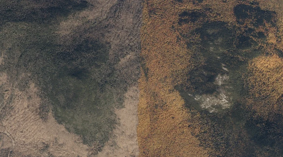
Allen Mountain is a summit in Oxford County, Maine, located about 11.9 miles south of Chapman Inn in Bethel, Maine. It appears on the USGS North Waterford topographic…
Hobbs Brook is a stream in Oxford County, Maine, located about 11.9 miles south-southeast of Chapman Inn in Bethel, Maine. It appears on the USGS Waterford Flat topographic…
Warren Brook is a stream in Oxford County, Maine, located about 11.9 miles south of Chapman Inn in Bethel, Maine. It appears on the USGS North Waterford topographic…
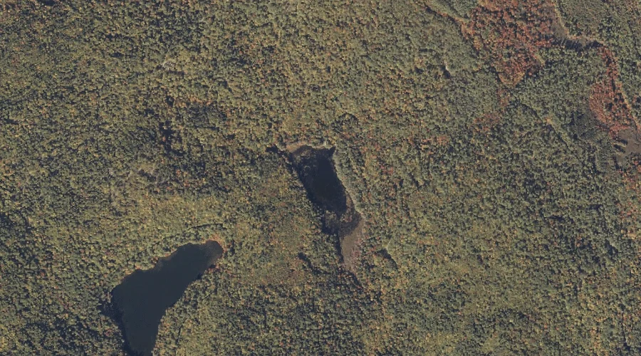
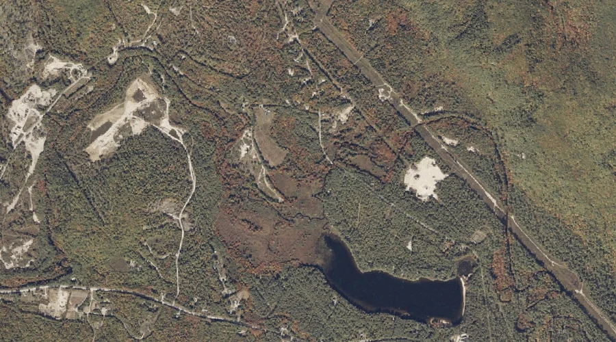
Whitney Pond is a lake in Oxford County, Maine, located about 11.9 miles south of Chapman Inn in Bethel, Maine. It appears on the USGS North Waterford topographic…
Swell Brook is a stream in Oxford County, Maine, located about 11.9 miles south-southeast of Chapman Inn in Bethel, Maine. It appears on the USGS Waterford Flat topographic…